 ProMapRanker
7 Best Aerial Surveying Software Options for 2026

Topographic surveys and stockpile volumes from drone data · Pricing starts at: From €100 per month (Ridge plan); Valley plan is free
Direct answer
Start with Virtual Surveyor if you need topographic surveys and stockpile volumes from drone data. Listed starting prices: Virtual Surveyor from €100 per month (Ridge plan); Valley plan is free, WebODM free self-hosted; Lightning cloud from $24 per month and Pix4D from $2,290 a year (PIX4Dmatic Analyst, billed annually). If your case is different, Agisoft Metashape suits adaptable desktop photogrammetry on a perpetual license and WebODM suits low-cost or self-hosted processing for small teams. Prices, free plans and limits for all 7 tools follow.
ProMapRanker put together this guide to aerial surveying software options for readers who want a clear shortlist without reading every vendor page. It compares 7 tools on starting price, free plans, who each one suits and where each one falls short.
Key takeaways
- Virtual Surveyor takes the first slot, best suited to topographic surveys and stockpile volumes from drone data.
- Global Mapper fits GIS, lidar and terrain analysis in one desktop application.
- Before buying WebODM, weigh this: support is largely community-based.
- Pricing for Agisoft Metashape, Esri Site Scan for ArcGIS and Propeller Aero is quote-based, which adds a sales step before you can compare cost.
- WebODM stands alone as the one tool in this list with a free plan.
Quick comparison
| Pick | Great for | Pricing starts at | Free tier | |
|---|---|---|---|---|
| Virtual Surveyor | Topographic surveys and stockpile volumes from drone data | From €100 per month (Ridge plan); Valley plan is free | Free trial (14 days) | Visit |
 Agisoft Metashape | Adaptable desktop photogrammetry on a perpetual license | See website | Free trial | Visit |
 WebODM | Low-cost or self-hosted processing for small teams | Free self-hosted; Lightning cloud from $24 per month (billed annually) | Yes | Visit |
 Pix4D | Survey-grade photogrammetry with CAD-ready output | $2,290 a year (PIX4Dmatic Analyst, billed annually) | Free trial | Visit |
 Esri Site Scan for ArcGIS | Organizations already running ArcGIS | See website | No | Visit |
 Propeller Aero | Earthworks, mining and aggregates progress tracking | See website | No | Visit |
 Global Mapper | GIS, lidar and terrain analysis in one desktop application | $700 one-time (single-user node-locked) | Free trial | Visit |
Tool-by-tool breakdown
Virtual Surveyor
Great for: Topographic surveys and stockpile volumes from drone data
Virtual Surveyor targets topographic surveys and stockpile volumes from drone data. Virtual Surveyor sits one step after photogrammetry. Beyond that, limits to know about: it is desktop software with cloud-based licensing, so large projects rely on your computer, and the team features lean on Dropbox.
What to check first: Pricing is in euros.
In practice, ridge brings stockpile reports and advanced editing at €100, Mountain brings timelines and cut/fill maps at €210, and Peak brings grading and design tools at the same price point. For everyday use, valley is free and includes importing orthos and DSMs, profiles, surfaces and CAD export. Worth adding: the 14-day trial contains every feature of the top level, so you can test your real data before choosing. Virtual Surveyor pricing: From €100 per month. Free options: Free trial (14 days).
- Cut/fill and grading tools
- Dropbox integration for sharing projects
- Desktop software that works from data processed elsewhere
Agisoft Metashape
Great for: Adaptable desktop photogrammetry on a perpetual license
Agisoft Metashape was built for adaptable desktop photogrammetry on a perpetual license. Metashape is the tool people pick when they want to own the license and control every step. It comes in a Standard and a Professional edition.
What works well: Works with aerial.
The main drawbacks: Needs a feature-rich computer and has no built-in team sharing.
More specifically, there is no cloud portal for sharing results with a client, which means you will export deliverables and send them another way. On top of that, new users should plan a handful of days to get comfortable with the workflow. Agisoft Metashape shows no starting price here, so confirm the cost on the vendor site. Free plan details: Free trial.
- One-time license rather than a subscription
- Close-range and other imagery
- Steep ramp-up time
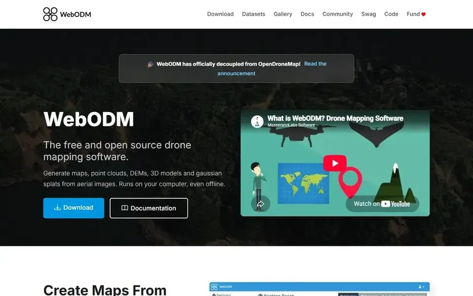
Where WebODM fits: low-cost or self-hosted processing for small teams. WebODM is the open-source choice, and it is a serious one for small teams on tight budgets. It processes aerial and ground images and produces orthophotos, point clouds, elevation models and 3D models.
In practice, you can freeze a bill for up to 120 days when you have no work to process. The weakness is polish and support. The interface is plainer than the commercial products, and help comes from documentation and a community forum instead of a dedicated account team. Beyond that, the published plans are Starter at $24 a month billed annually (12 maps per 30 days, up to 1,500 images per map), Pro at $35 (unlimited maps, 100 GB of storage) and Business at $99 (up to 3,000 images per map and 1,000 GB of storage). Price to start with WebODM: Free self-hosted. You can start on WebODM without paying.
What WebODM does well: Free and open source to self-host. Honest limits: Self-hosting costs hardware and IT time.
- Including RAW and thermal
- Accepts numerous image types
- Support is largely community-based
For Survey-grade photogrammetry with CAD-ready output, Pix4D is a natural candidate. PIX4Dmatic comes in three levels: Analyst at $2,290 a year, Standard at $3,990 and Pro at $4,990, each billed annually and excluding tax. Also, Pix4D sells PIX4Dmatic, PIX4Dmapper, PIX4Dsurvey, PIX4Dcloud and other pieces, and a first-time buyer can spend an afternoon working out which combination suits.
Points against: Multiple separate products to choose between.
PIX4Dcloud has its own yearly pricing that opens at $49.20 a month. So a team that wants cloud sharing on top of desktop processing will pay for two things. If your deliverables go to an engineer who works in CAD, though, the Analyst level is a sensible entry point. Standard brings mesh, DSM, orthomosaics and georeferencing, and lets you combine drone, mobile and LiDAR data in one project. In practice, the main limit is the product family. On cost, Pix4D starts like this: $2,290 per year. Free access: Free trial. Main advantages: Deals with drone.
- Clear published pricing
- Mobile and LiDAR data in one project (Standard level)
- Costs rise rapidly across levels
Esri Site Scan for ArcGIS works best for organizations already running ArcGIS. For a city, utility or large engineering group with ArcGIS in place, that saves lots of file shuffling and keeps drone data governed like any other layer. Also, treat that as a reference point, since Esri's own quote may differ based on your agreement.
Best features of Esri Site Scan for ArcGIS: Feeds drone data straight into the ArcGIS ecosystem.
Worth adding: you would pay for an ecosystem you do not use, and lighter tools handle entry-level mapping for less. Pricing is by operator license. In practice, for a small firm outside the Esri world, it is hard to justify. Esri Site Scan for ArcGIS does not show a starting price in this comparison, so check the vendor site for current pricing. There is no free plan with Esri Site Scan for ArcGIS.
Limits to weigh: Pricing is sold per operator license.
- Fits government
- Cloud processing with flight planning
- Makes sense chiefly if you already use ArcGIS
Propeller Aero
Great for: Earthworks, mining and aggregates progress tracking
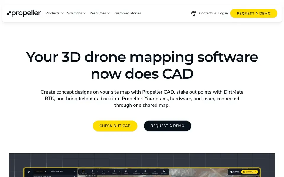
Pick Propeller Aero if this describes you: Earthworks, mining and aggregates progress tracking. Propeller targets sites that move dirt. From a buyer's view, a surveyor who gives one-off topographic maps to numerous different clients will likely get more value from a general-purpose processing tool.
Where it falls short: Quote-based pricing.
For everyday use, the company also sells AeroPoint ground control targets that use GNSS, which is meant to cut down the time a crew spends placing and surveying control points by hand. This is a solid fit for a contractor, quarry or landfill operator that wants a repeatable weekly or monthly survey routine and a single place where the site team and the office look at the same data. Beyond that, the software is organized around that workflow rather than around raw photogrammetry settings, which keeps training short for non-surveyors. No starting price is listed for Propeller Aero here; confirm pricing on the vendor site. Propeller Aero has no free tier.
- Pairs software with ground control hardware
- Mining and quarry users
- Less handy for general mapping or small one-off jobs
Global Mapper
Great for: GIS, lidar and terrain analysis in one desktop application

For GIS, lidar and terrain analysis in one desktop application, Global Mapper is a natural candidate. The Global Mapper Mobile Pro app costs $50 per device. Those one-time prices are attractive for a firm that wants to avoid subscriptions, though check the current terms on maintenance and upgrades.
Honest limits: Advanced tools sit in the higher-priced Pro edition.
It reads a very broad range of raster, vector and elevation formats. So it frequently acts as the place where aerial data, lidar and existing CAD or GIS files meet. For everyday use, the honest catch is that it is a toolbox, not a guided workflow. Usual jobs include contouring, volume calculations, profile views and coordinate conversion. Worth adding: Blue Marble's purchase page lists a single-user node-locked license at $700, a single-user floating license at $1,050 (usable over remote desktop) and Pro at $1,750, or $1,050 to upgrade from the base edition. On cost, Global Mapper starts like this: $700 one-time. On free options: Free trial.
- Mobile app available for field work
- Perpetual licensing with optional floating licenses
- Desktop interface takes time to learn
Before you commit
- Get a written quote from Agisoft Metashape, Esri Site Scan for ArcGIS and Propeller Aero; the list shows no starting price for them.
- Look at the free plan from WebODM closely: its caps decide whether it is usable for real work.
- Take the trial from Virtual Surveyor, Agisoft Metashape, Pix4D and Global Mapper and push a live task through it before you pay.
- Read the limits listed for Virtual Surveyor first: desktop software that works from data processed elsewhere.
- Check whether the features you need in Agisoft Metashape sit on the entry plan or only on higher tiers.
- The entry price of Propeller Aero is only the starting point; model the full cost with seats and extras.
Frequently asked questions
How much does aerial surveying software cost?
Pix4D's PIX4Dmatic runs from $2,290 to $4,990 a year, Global Mapper begins at a $700 one-time license, and multiple vendors sell by quote only. Hardware, training and ground control equipment add to the total.
Which options for aerial surveying software options have a free plan?
WebODM is the only tool in this list with a free plan. Free plans usually cap users, projects or features, so check the limits on the vendor page. Several others offer a trial instead.
How are the tools for aerial surveying software options ordered?
The order follows typical fit for aerial surveying software options, with Virtual Surveyor first and Global Mapper last, then price clarity and free access. It is editorial judgement, not a score, so another team could rank the tools differently.
Can I try these tools before paying?
Often, yes. WebODM has a free plan and Virtual Surveyor, Agisoft Metashape, Pix4D and Global Mapper offer a free trial. Use your own data and a real task during the test, and check what the free tier or trial limits before you rely on it.
Is Virtual Surveyor the right pick for everyone comparing aerial surveying software options?
No single tool suits every team. Virtual Surveyor comes first because it fits topographic surveys and stockpile volumes from drone data, while Agisoft Metashape suits flexible desktop photogrammetry on a perpetual license and WebODM suits low-cost or self-hosted processing for small teams. Match the tool to your own size, budget and workflow before deciding.
Sources
See where you really rank - block by block
ProMapRanker scans Google Maps across a grid of your service area. Simple monthly plans from $19, white-label on every plan.
Start freeBrowse all guides
← Wireless Site Survey Software: 6 Options Compared in 2026Best Customer Service Survey Questions in 2026 →
 best wifi site survey software
Top 6 WiFi Site Survey Software, Compared on Price (2026)
Need the best WiFi site Survey software? We compare 6 tools on cost, free access and who each suits. Short, factual notes on every option. Read the profiles.
Read → best survey software for academic research
Survey Software for Academic Research: Best Picks of 2026
Best survey software for academic research in 2026: 7 contenders with entry costs and free tiers. Includes honest limits for each tool. Compare quickly.
Read → best wireless survey tools
Best Wireless Survey Tools: 2026 Prices and Picks
6 best wireless Survey tools, compared on pricing, free plans and best-fit use. For cloud predictive design, begin with Hamina. Current for November 2026.
Read → best design feedback tools
Best Design Feedback Tools in 2026
Compare the best design feedback tools for comments, annotations, versions, and approvals, with options for UI, video, print, and web teams today in 2026.
Read → best companies in the world
Best Companies in the World in 2026
A plain guide to the best companies in the world by public reputation and services, covering tech, retail, chips, finance, media and shopping for readers.
Read → review management software
Review Management Software: How to Choose the Right Platform
What to look for in review management software and how it streamlines generating and responding to reviews.
Read →More in Reviews & Reputation · All guides A to Z by date · Latest guides