 ProMapRanker
2026 Guide to the Best Drone Survey Software

Reality capture from scans and photos · Pricing starts at: See website
Direct answer
This list puts Autodesk ReCap Pro first for reality capture from scans and photos. Listed starting prices: SimActive Correlator3D from $295 a month. Trimble Inpho fits aerial imaging projects with dense point clouds; Esri ArcGIS Drone2Map fits GIS-integrated drone mapping. The other 2 tools in the list cover narrower or pricier cases.
Choosing drone survey software usually comes down to price, fit and limits. This ProMapRanker guide sets 5 tools side by side on those three points, with the facts kept short and checkable.
Key takeaways
- Autodesk ReCap Pro is the opening pick, best for reality capture from scans and photos.
- SimActive Correlator3D is the one to check for high-end mapping from several imagery sources.
- Check the limits for Trimble Inpho before you commit: may be complex for beginners.
- SimActive Correlator3D is the lowest-priced starter here at $295 per month.
- Autodesk ReCap Pro, SimActive Correlator3D and the 3 others all need a premium plan or a trial, since no free plan is listed.
Quick comparison
| Pick | Great for | Pricing starts at | Free tier | |
|---|---|---|---|---|
| Autodesk ReCap Pro | Reality capture from scans and photos | See website | Not stated | Visit |
 Trimble Inpho | Aerial imaging projects with dense point clouds | See website | Not stated | Visit |
 Esri ArcGIS Drone2Map | GIS-integrated drone mapping | See website | Not stated | Visit |
 Pix4Dmapper | Professional drone mapping and 3D modeling | See website | Free trial | Visit |
 SimActive Correlator3D | High-end mapping from several imagery sources | $295 a month | Free trial | Visit |
5 options for drone survey software in detail
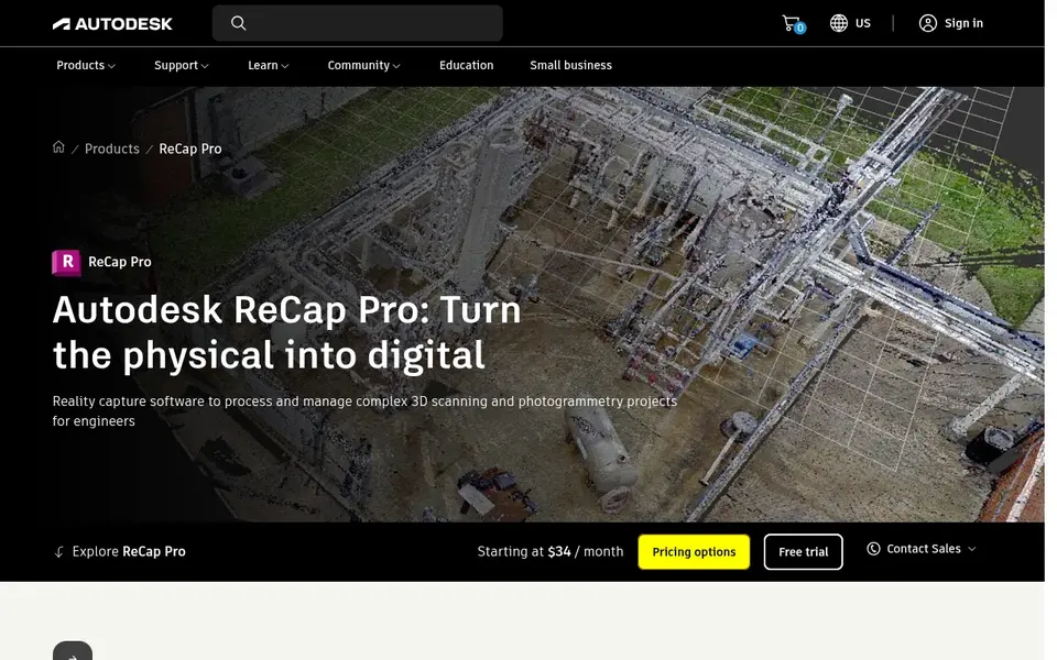
Autodesk ReCap Pro works best for reality capture from scans and photos. This tool fits professionals in architecture, engineering, and construction who require to process reality capture data, including drone imagery, for design and analysis.
It is part of the Autodesk ecosystem. Check the vendor site for Autodesk ReCap Pro pricing; none is listed in this comparison. Trial and free access: Not stated.
Points against: Not specialized for drone survey workflows.
- Produces 3D models from laser scans and photos
- Visualizes point clouds and meshes
- May need Autodesk ecosystem for full integration
Trimble Inpho
Great for: Aerial imaging projects with dense point clouds
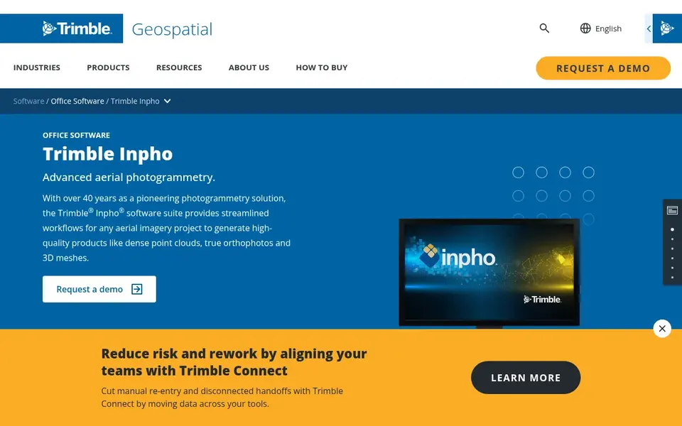
Trimble Inpho targets aerial imaging projects with dense point clouds. Trimble Inpho is software that offers simplified workflows for any aerial imaging project. It produces dense point clouds, true-orthophotos, and 3D meshes.
What to check first: May be complicated for beginners.
It is built to deal with large projects with efficiency. If you need a more GIS-integrated option, Esri Drone2Map could be a better choice. It is a strong match for those concentrated on high-quality aerial outputs. This comparison lists no price for Trimble Inpho; ask the vendor. Free options: Not stated.
- Produces 3D meshes for in-depth modeling
- Simplified workflows for aerial imaging
- Centred on aerial imaging, not ground-based data
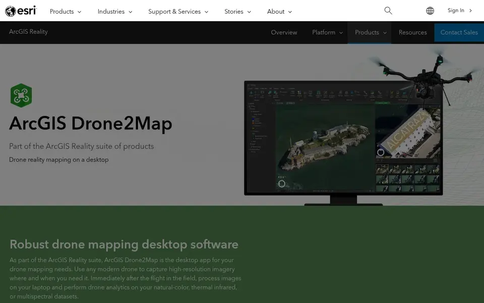
For GIS-integrated drone mapping, Esri ArcGIS Drone2Map is a natural candidate. ArcGIS Drone2Map is most handy within the ArcGIS ecosystem; if you do not use ArcGIS, other tools may be more straightforward. For pure photogrammetry without GIS integration, consider Pix4Dmapper or SimActive Correlator3D.
Honest limits: May have a ramp-up time for non-GIS users.
In practice, Esri ArcGIS Drone2Map is a desktop app for GIS drone mapping needs. It supports a mix of mapping outputs. Esri ArcGIS Drone2Map does not show a starting price in this comparison, so check the vendor site for current pricing. As for free access: Not stated.
- Desktop app for GIS drone mapping
- Produces 2D and 3D photogrammetry outputs
- Needs ArcGIS environment for full benefits
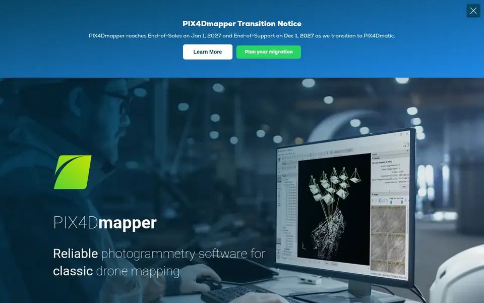
Pix4Dmapper works best for professional drone mapping and 3D modeling. It transforms aerial and ground images into accurate, georeferenced maps and 3D models.
It is noted for handling classic drone mapping tasks with a focus on accuracy and output quality. In practice, Pix4Dmapper is specialized for photogrammetry and may not offer the broader GIS capabilities of some systems. Pix4Dmapper does not show a starting price in this comparison, so check the vendor site for current pricing. On free options: Free trial.
Limits to weigh: Primarily centred on photogrammetry, not full GIS.
- Widely used for classic drone mapping
- Steady photogrammetry for aerial and ground images
- May need training for advanced features
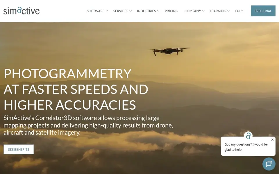
SimActive Correlator3D makes the most sense for high-end mapping from several imagery sources. It fits mapping professionals who need efficient and accurate processing across different image sources.
The software is built for those requiring high-end mapping outputs, like orthomosaics and point clouds, from several aerial systems. SimActive Correlator3D starts at: $295 per month. Free options: Free trial.
Drawbacks to consider: Concentrated on mapping, not analytics. Reasons to shortlist it: Supports several image sources.
- Rapid processing of drone, aircraft
- High-end mapping software
- May be complicated for beginners
Our selection method
The comparison looks at four things: starting price, free access, how well the feature set matches drone survey software, and the main limit of each tool. Where a price is missing, the vendor does not list one publicly or ties it to a quote. Always confirm before budgeting. The order reflects how well each tool fits the most common buying scenario for drone survey software, then price clarity, then free plan access. It is a starting point, not a verdict.
Pre-purchase checklist
- Confirm the entry price on the vendor page. For Autodesk ReCap Pro, Trimble Inpho, Esri ArcGIS Drone2Map and Pix4Dmapper that means a quote rather than a fixed price.
- Run a trial of Pix4Dmapper and SimActive Correlator3D with real work before paying for a year; your own workflow is the best test.
- Read the limits listed for Autodesk ReCap Pro first: not specialized for drone survey workflows.
- Ask SimActive Correlator3D about contract length, onboarding fees and user minimums before you sign.
- Price Pix4Dmapper for your actual team size; headline prices rarely include add-ons or overage.
Frequently asked questions
Is Autodesk ReCap Pro the right pick for everyone comparing drone survey software?
No single tool suits every team. Autodesk ReCap Pro comes first because it fits reality capture from scans and photos, while Trimble Inpho suits aerial imaging projects with dense point clouds and Esri ArcGIS Drone2Map suits GIS-integrated drone mapping. Match the tool to your own size, budget and workflow before deciding.
Can I try these options before paying?
Often, yes. Pix4Dmapper and SimActive Correlator3D offer a free trial. Use your own data and a real task during the test, and check what the free tier or trial limits before you rely on it.
How are the tools for drone survey software ordered?
Autodesk ReCap Pro sits first and SimActive Correlator3D last because the order follows typical fit for drone survey software, then price clarity and free access. It is a judgement call, so read each profile for fit and limits.
What is drone survey software used for?
Drone survey software processes aerial images to produce maps, 3D models, point clouds, and other spatial data. It is used in surveying, construction, mining, and agriculture to measure and analyze terrain.
Does any tool for drone survey software here have a free plan?
A permanent free plan is not offered by Autodesk ReCap Pro, SimActive Correlator3D or the other tools here. Pix4Dmapper, SimActive Correlator3D offer a trial. Plan a short evaluation period instead.
Sources
- Autodesk ReCap Pro: autodesk.com/products/recap/overview
- Trimble Inpho: geospatial.trimble.com/en/products/software/trimble-inpho
- Esri ArcGIS Drone2Map: esri.com/en-us/arcgis/products/arcgis-drone2map/overview
- Pix4Dmapper: pix4d.com/product/pix4dmapper-photogrammetry-software
- SimActive Correlator3D: simactive.com
See where you really rank - block by block
ProMapRanker scans Google Maps across a grid of your service area. Simple monthly plans from $19, white-label on every plan.
Start freeBrowse all guides
← Survey Software for Therapists: Best Picks of 2026Best Feedback Software for Coffee Roasters in 2026 →
 best survey software for small business
Survey Software for Small Business in 2026: Top 6 Compared
Weighing the best Survey software for small business? We lined up 6 products by cost, free access and fit. Verdicts stay brief and factual. Refreshed for 2026.
Read → best survey software for product research
Survey Software for Product Research in 2026: Top 5 Compared
Best Survey software for product research: 5 contenders ranked by fit, with entry costs and free tiers. Read the caveats before you buy. Updated November 2026.
Read → best platforms for real time design feedback
Platforms for Real Time Design Feedback: Best Picks of 2026
Searching for the best platforms for real time design feedback? Here are 6 options with prices and free plans. Each pick lists its main limit. No filler.
Read → qualtrics alternatives
Qualtrics Alternatives in 2026
Compare the best qualtrics alternatives for 2026, with eight survey tools covering research depth, conversational design, and price for teams of every size.
Read → best customer feedback analysis tools
Best Customer Feedback Analysis Tools in 2026
We compared the best customer feedback analysis tools for surveys, reviews, and support tickets, so you can turn customer words into clear actions in 2026.
Read → best code review tools
Best Code Review Tools in 2026
Compare the best code review tools for pull requests, AI review, and team workflows, with pricing, platform support, and honest limits for each tool here.
Read →More in Reviews & Reputation · All guides A to Z by date · Latest guides