 ProMapRanker
Best Mapbox Alternatives in 2026


Places and familiar maps · Pricing starts at: See website
Key takeaways
- Google Maps Platform suits apps that need Places, Street View, and familiar navigation, while MapLibre and Leaflet suit teams that want open-source control.
- OpenLayers handles complex geographic data and older mapping standards better than most lightweight libraries.
- MapTiler, HERE, TomTom, and CARTO add hosted tiles, routing, and data tools for teams that do not want to run their own map servers.
- Tile and API costs depend on your exact mix of map loads, geocoding, and routing, so model real traffic before you commit.
Quick comparison
| Pick | Great for | Pricing starts at | Free tier | |
|---|---|---|---|---|
| Google Maps Platform | Places and familiar maps | See website | Free trial | Visit |
 Leaflet | Lightweight open-source maps | Free | Yes | Visit |
 OpenLayers | Complex geographic data | Free | Yes | Visit |
 MapLibre GL JS | Open-source vector maps | Free | Yes | Visit |
 MapTiler | Hosted tiles and custom styles | See website | Yes | Visit |
 HERE | Enterprise routing and location | See website | Free trial | Visit |
 TomTom Maps | Routing and traffic data | See website | Free trial | Visit |
 CARTO | Location data analysis | See website | Free trial | Visit |
The best mapbox alternatives
Mapbox is strong for custom vector maps, but it is not the only way to add maps to an app. Some teams leave for cost, some for open-source licensing, and some because they need Places data or enterprise routing. The tools below cover those different reasons, from free libraries to full hosted platforms.
Google Maps Platform is the most familiar option for end users. People recognize the style, trust the directions, and expect Places search to find businesses, hours, and reviews. For consumer apps, delivery, and store locators, that familiarity reduces support questions and design work.
The cost model needs care. Google moved to per-API free caps and subscription options, so a mix of maps, geocoding, directions, and Places can add up in ways a single free tier does not show. Also, Google terms restrict displaying Google geocoding results on non-Google maps, so check the terms if you plan a mixed stack.
- Rich Places data
- Street View and 3D maps
- Users already trust the look
- Pricing varies by API and volume
- Terms limit mixing Google data with other maps
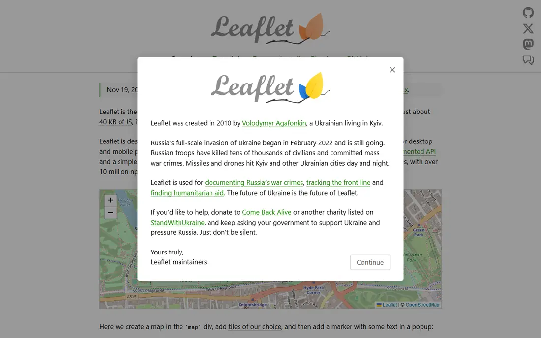
Leaflet is a small JavaScript library for interactive maps, often paired with OpenStreetMap data. It handles markers, popups, layers, and basic interactions with little code, and it works well on mobile browsers. For a store locator, a simple property map, or a data map with modest styling, it is often all you need.
Leaflet does not supply map tiles itself, so you must choose a tile source. Free community tiles suit small projects, while commercial providers such as MapTiler or Stadia Maps suit production traffic. It also lacks native 3D, so teams that need terrain or 3D buildings should look at MapLibre or Cesium instead.
- Very small and fast
- Easy to learn
- Large plugin ecosystem
- No built-in 3D
- You still need a tile provider or your own tiles
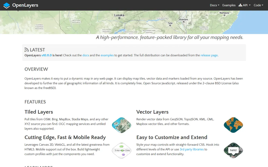
OpenLayers is an open-source library built for serious geographic work. It supports a wide range of data formats, projections, and mapping standards, including WMS and WMTS services used by government and GIS teams. If your app must show layers from different sources or handle complex spatial data, OpenLayers is more capable than a lightweight library.
That power comes with a steeper learning curve. The API is larger, examples can feel technical, and custom styling takes more effort than in a hosted studio. For simple marker maps, Leaflet is faster. For GIS-heavy apps, OpenLayers earns its complexity.
- Supports many geographic formats and standards
- Strong for GIS work
- No vendor lock-in
- Larger and more complex than Leaflet
- Styling needs more code
MapLibre GL JS is the closest open-source replacement for Mapbox GL JS. It began as a community fork after Mapbox changed its library license, and it keeps vector rendering, custom styles, 3D terrain, and building extrusions without Mapbox billing. Teams migrating from Mapbox often find the API familiar.
The library itself is free, but maps are not free to serve. You need tiles from a provider such as MapTiler, Stadia Maps, or CARTO, or you must host your own. Budget for that hosting, and test your existing styles, because small API differences can affect a migration.
- Open-source fork of Mapbox GL JS
- Vector tiles and 3D terrain
- Works with many tile providers
- You still pay a tile provider or host tiles
- Migration needs style and API checks
MapTiler pairs well with MapLibre and Leaflet because it supplies the tiles, styles, and hosting those libraries need. Its style editor lets designers adjust colors, labels, and layers without writing tile code, and its cloud service handles scaling. For a small team that wants custom maps without running servers, that combination is practical.
Check the free tier terms carefully. The free plan suits testing and non-commercial projects, while commercial use and higher request volumes need a paid plan. Model your monthly map requests, not just your page views, since each pan and zoom can generate requests.
- Hosted vector and raster tiles
- Map style editor
- Works with MapLibre and Leaflet
- Free tier is for non-commercial use in many cases
- Costs rise with request volume
HERE is a long-standing location platform used in automotive, logistics, and fleet work. Its routing, traffic, geocoding, and map data suit apps that plan routes, track vehicles, or optimize deliveries. Enterprise support and service agreements also matter for companies that need reliability guarantees.
For a small website map, HERE is more platform than you need, and pricing can require a sales conversation. It earns its place for logistics and enterprise apps where routing quality and uptime matter more than a simple free tier.
- Strong routing, traffic, and fleet tools
- Global map data
- Enterprise support options
- Pricing is quote-based for larger use
- Developer experience feels more enterprise than startup-friendly
TomTom Maps offers maps, search, routing, and traffic through APIs and SDKs for web, iOS, and Android. Its traffic data and route planning are useful for delivery, ride, and field-service apps, where arrival times and road conditions affect the product. The platform also covers geofencing and matrix routing for multi-stop planning.
Map styling is workable but less design-led than Mapbox for teams that want a highly branded map. Pricing also depends on which APIs you combine, so test with your real mix of search, routing, and map loads before you compare headline rates.
- Detailed traffic and routing APIs
- Global coverage
- SDKs for web and mobile
- Pricing varies by API
- Map styling is less flexible than Mapbox Studio for some teams
CARTO suits teams that analyze location data, not just display a map. It connects to cloud data warehouses, runs spatial queries, and visualizes large datasets as maps and dashboards. That makes it useful for retail planning, logistics analysis, and public-sector work where the question is what the data shows, not only where a pin sits.
For a basic app map, CARTO is heavier than Leaflet or MapLibre plus a tile provider. It also prices for professional teams, with a free trial rather than a generous free tier. Choose it when analysis is the core job, and choose a library plus tiles when display is the core job.
- Spatial analysis and visualization
- Cloud data warehouse connections
- Hosted basemaps
- More of a data platform than a simple map library
- Pricing suits teams, not hobby projects
How we picked these
We compared official documentation, pricing pages, and recent platform comparisons for mapping tools that work in October 2026. We included open-source libraries, hosted tile providers, and full location platforms, and we noted where a tool supplies tiles and where you must bring your own. We left out libraries that only render data without a practical map source, and we used See website where pricing depends on volume or a quote.
How to choose the right stack
Separate the library from the data. A library such as Leaflet, OpenLayers, or MapLibre renders the map, while a tile provider or platform supplies the underlying map data. Many teams mix them: MapLibre for rendering plus MapTiler for tiles, or Leaflet plus OpenStreetMap tiles for a simple project. That split gives you freedom to change one part later.
Next, list the APIs you actually need. A store locator needs maps and search. A delivery app needs routing, traffic, and geocoding. A data team needs analysis and large-dataset rendering. Each extra API changes the cost and the best vendor, so a tool that wins for display may lose for routing.
Finally, test with real traffic patterns. Pan, zoom, search, and route in the way your users will, then check the usage dashboard. Map costs are usage costs, and a small demo rarely shows the bill a live app will generate.
Frequently asked questions
What are the best alternatives to mapbox for open-source maps?
MapLibre GL JS, Leaflet, and OpenLayers are the strongest open-source picks. MapLibre is closest to Mapbox for vector maps and 3D, Leaflet is lightest for simple maps, and OpenLayers suits complex GIS data.
Can I use mapbox alternatives for free?
Yes, for small projects. Leaflet, OpenLayers, and MapLibre are free libraries, and you can pair them with free community tiles or a free tier from a provider. Production traffic usually needs a paid tile plan or self-hosting.
Which mapbox alternative is best for routing?
HERE and TomTom Maps are strong for routing, traffic, and fleet use. Google Maps Platform also offers strong routing and Places data, though its pricing and terms need careful review.
Do I need a tile provider with MapLibre or Leaflet?
Yes, in most cases. Those libraries render maps but do not supply tiles by default. MapTiler, Stadia Maps, CARTO basemaps, and self-hosted tiles are common options.
Is Google Maps Platform cheaper than Mapbox?
It depends on your API mix and volume. For simple map loads, Mapbox can cost less at scale in some comparisons, while Google can win for single-API use. Model your own traffic rather than trusting a headline rate.
Sources
See where you really rank - block by block
ProMapRanker scans Google Maps across a grid of your service area. Simple monthly plans from $19, white-label on every plan.
Start freeKeep reading
 wpforms alternatives
Best WPForms Alternatives in 2026
We compare 9 wpforms alternatives for WordPress forms, with free and paid options, current pricing notes, and honest limits for small business sites in 2026.
Read → windows task scheduler alternatives
Best Windows Task Scheduler Alternatives in 2026
Looking for Windows Task Scheduler alternatives? We compare 9 schedulers for Windows and cross-platform work, from free tools to enterprise automation.
Read → which ai video service is best
Which AI Video Service Is Best in 2026
which ai video service is best? We compare 10 legitimate AI video services on price, avatars, editing and output quality to help you pick the right tool.
Read →