 ProMapRanker
Best Apps for Crop Monitoring in 2026

Key takeaways
- Satellite apps give a whole-field view without new hardware, while soil sensor systems give precise readings for irrigation decisions.
- Scouting apps matter as much as satellite maps, because a satellite flag still needs a person on the ground to confirm it.
- Most farm platforms price by hectares, fields, or sensors, so ask for a quote on your actual acreage before comparing.
- Start with one or two fields for a season, and only expand once the alerts prove useful in your own workflow.
Quick comparison
| Pick | Great for | Pricing starts at | Free tier | |
|---|---|---|---|---|
 EOSDA Crop Monitoring | Satellite field monitoring | See website | Free trial | Visit |
 OneSoil | Free satellite scouting | Free | Yes | Visit |
 CropX | Soil sensor irrigation data | See website | No | Visit |
 Climate FieldView | Field data and imagery in one place | See website | Free trial | Visit |
 Cropwise Operations | Large farm operations | See website | No | Visit |
 Taranis | High resolution aerial crop intelligence | See website | No | Visit |
 Plantix | Crop disease identification | Free | Yes | Visit |
 Agremo | Drone and satellite field analytics | See website | Free trial | Visit |
The best apps for crop monitoring
We compared official feature pages, pricing pages, and app store listings for tools that help farmers watch crop health, soil, weather, and field work through the season.
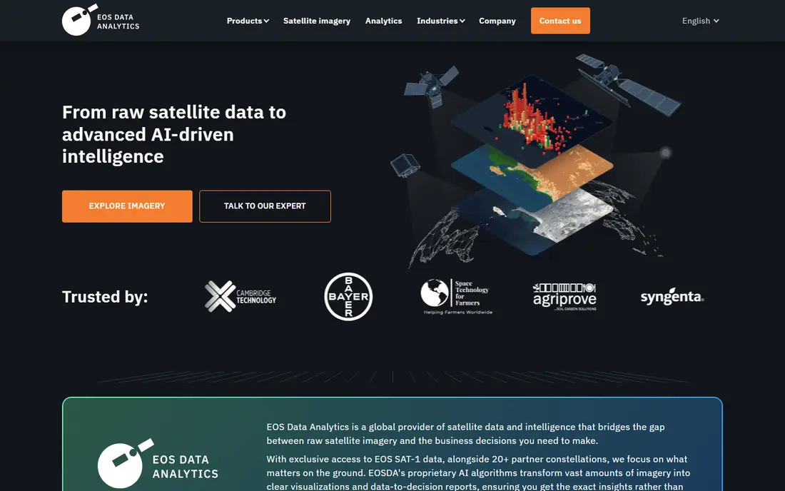
EOSDA Crop Monitoring uses multispectral satellite imagery to track crop health, soil moisture signals, and vegetation indices across whole fields. Farmers can mark problem areas, assign scouting tasks, and log activities such as sowing, spraying, and harvesting in one calendar view. That combination helps a farm manager see which fields need attention first, instead of driving every field in the same order each week.
The honest limit is resolution and pricing clarity. Satellite data is excellent for field level patterns, but it will not replace a close look at a single plant, and paid plans are quoted rather than listed as a simple price. For medium and larger farms that want a satellite overview with a proper scouting workflow, it is a strong, well established option.
- Satellite vegetation indices
- Field activity log
- Scouting tasks with photos
- Paid pricing is quote based
- Satellite resolution suits field level trends, not single plants
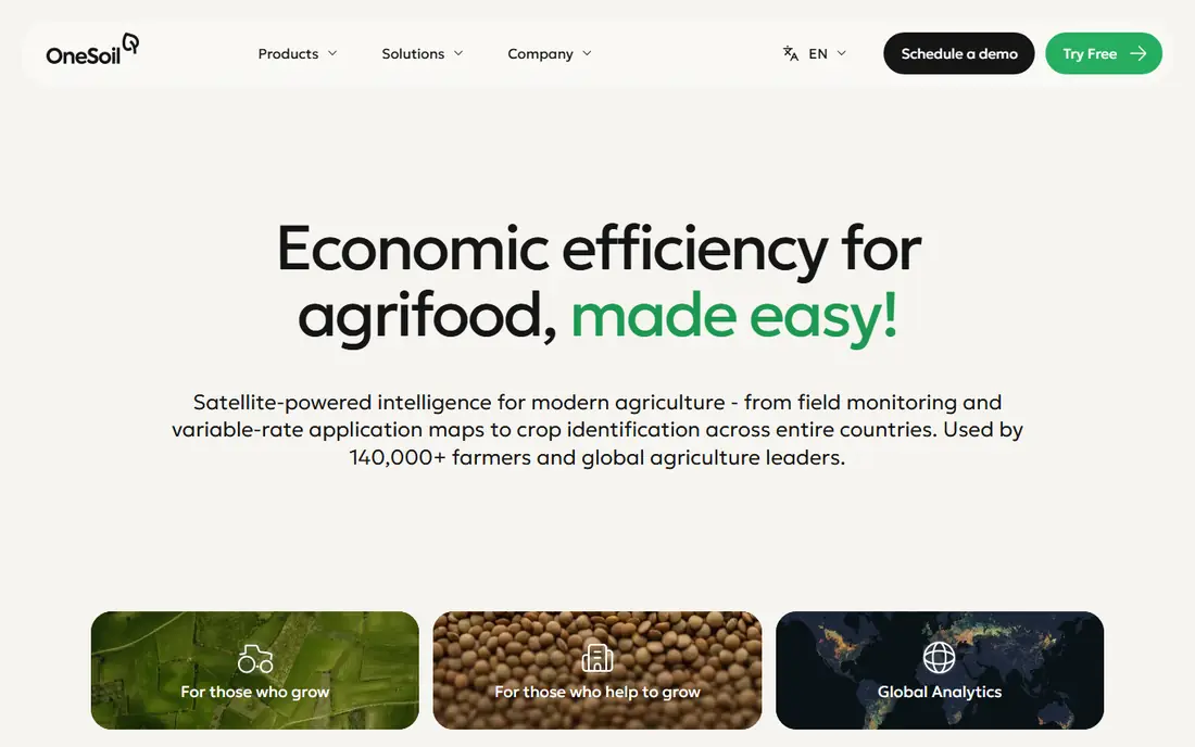
OneSoil starts with a free mobile app that lets farmers monitor fields with satellite imagery, track vegetation and moisture indices, and record scouting observations. The app also includes an agronomic advice feature, which can help a grower decide where to look first. For a small farm or a first step into precision agriculture, that free tier removes the usual cost barrier.
The paid OneSoil Pro web tool adds precision work such as variable rate application maps, soil sampling by productivity zones, and field trials. That split is fair: the free app covers watching and scouting, while the paid tool covers planning and prescription work. If you only need to watch fields and note problems, the free app may be all you need for a season.
- Free mobile app
- Satellite imagery and vegetation indices
- Field scouting notes
- Paid Pro features cost extra
- Variable rate tools need the paid tier
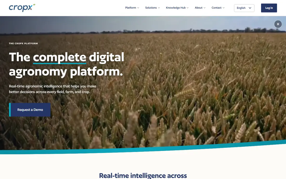
CropX is a sensor based system, not just a satellite app. Its soil sensors measure moisture, temperature, and electrical conductivity at multiple depths, and the cloud platform turns those readings into irrigation and fertilisation guidance. Because the data is geo-tagged, you can compare zones inside a field and see how water moves through different soil types over time.
That precision comes with hardware cost and installation work. Sensors must be placed, maintained, and replaced over time, and pricing depends on how many sensors and acres you cover. For irrigated crops where water timing drives yield and cost, that detail is worth it. For dryland fields where satellite trends are enough, a satellite app may be the simpler start.
- Soil moisture, temperature, and conductivity at depth
- Irrigation guidance
- GPS tagged field data
- Requires sensor hardware
- Pricing depends on sensors and acreage
Climate FieldView brings field maps, satellite imagery, and machine data together, so planting, spraying, and harvest records sit next to imagery of the same field. That history helps a grower compare seasons, check whether a problem area repeats, and share a clear field picture with an agronomist. It is widely used in US row crop farming, which also means local support and equipment compatibility are usually good.
The catch is that FieldView fits best when you already use compatible equipment or the wider Climate tools, and pricing varies, so you need a local quote. It is less of a standalone scouting app and more of a farm data platform. For a farm that already collects machine data, it ties that data to imagery in a useful way.
- Field health imagery
- Planting and harvest data
- Works with common equipment data
- Best value inside the wider Climate ecosystem
- Pricing varies by region
Cropwise Operations, from Syngenta, is aimed at farms and agronomy teams that need to plan, scout, and record work across many fields and people. It combines imagery, scouting, and operational records so a manager can assign work, track completion, and review field history in one place. That structure helps when several scouts, operators, and advisers work on the same farm.
For a single small farm, that depth can feel heavy, and pricing is arranged rather than listed as a simple plan. It makes most sense when coordination across people and fields is itself a problem. If your main need is watching a few fields, a simpler satellite app will be faster to learn and cheaper to run.
- Whole operation planning
- Imagery and scouting in one system
- Built for larger teams
- Geared to larger operations
- May be more than a small farm needs
Taranis uses high resolution aerial imagery, often from drones or aircraft, to give a much closer view than satellite alone. Its system can flag early signs of stress, pests, disease, and nutrient issues at a detail level that helps agronomists target a field visit to the exact rows that need it. For high value crops, catching a problem days earlier can matter more than the cost of the flight.
The trade-off is cost and complexity. Aerial programmes are priced by arrangement, and flights depend on weather and scheduling, so they suit farms and advisers who will act on detailed data. For broadacre farms that mainly need field level trends, satellite tools are cheaper and simpler. Taranis is the detailed option for growers who want to go deeper.
- Very detailed aerial imagery
- Leaf level insights
- Early stress detection
- Quote based pricing
- Aerial flights add cost and scheduling
Plantix takes a different approach: point your phone camera at a crop, and the app suggests what disease, pest, or nutrient problem may be present, with treatment ideas. That makes it useful for smallholders and garden-scale growers who do not have an agronomist on call, and for larger farm workers who want a quick first check in the field. The app covers many crops and is free to download.
Treat its answers as a starting point, not a final diagnosis. A photo can miss context that a lab test or an agronomist visit would catch, so confirm serious or spreading problems before spraying. As a fast, free scouting aid, though, Plantix is easy to recommend, especially where expert help is hard to reach.
- Free photo based disease identification
- Large crop library
- Useful for smallholders
- Identification is a guide, not a lab diagnosis
- Advice quality varies by crop and region
Agremo analyses drone and satellite imagery to produce field reports such as plant counts, emergence rates, weed pressure, and stress maps. That kind of counting is hard to do by eye across a large field, and it helps a grower judge whether a stand is even, where replanting may be needed, and how a treatment worked. Reports can be shared with advisers and kept as a season record.
Good output depends on good input, so drone flights need proper overlap, light, and timing, which takes practice or a service provider. Pricing is arranged by analysis type and area, so get a quote for your fields. For growers already flying drones, Agremo turns that imagery into decisions rather than just pictures.
- Plant counts and stand analysis
- Weed and stress maps
- Works with drone imagery
- Best results need good drone flights
- Pricing is by analysis and acreage
How we picked these
We compared official feature pages, pricing pages, and app store listings, and we favoured tools that are actively available, cover real farming work, and explain clearly whether they use satellite, drone, sensor, or phone camera data. We mixed free scouting apps with paid platforms because farms range from a few acres to thousands, and we noted where pricing is quote based rather than inventing a number. We did not claim hands-on field testing.
How to choose a crop monitoring app for your farm
Start with the question you need answered each week. If the question is which fields need a visit, a satellite app such as EOSDA or OneSoil is enough. If the question is when to irrigate a specific zone, you need soil sensors such as CropX. If the question is what is wrong with a single plant, a photo tool such as Plantix gives a fast first answer, and a drone analysis tool such as Agremo helps with counts and stand quality.
Also check connectivity and workflow. Satellite apps need only a phone signal to sync, while drone tools need flight time and processing, and sensor systems need installation and upkeep. Run your chosen tool on one or two fields for a full season, compare its alerts with what you see on the ground, and only then roll it out across the farm. A tool that produces alerts nobody acts on is not saving time, however good its maps look.
Frequently asked questions
What is the best app for crop monitoring?
There is no single best app, because satellite, sensor, and photo tools answer different questions. For a free start, OneSoil covers satellite scouting well. For irrigation decisions, CropX adds soil sensor depth that satellites cannot give. For a full farm platform, EOSDA Crop Monitoring or Climate FieldView may fit better, depending on your equipment and team size.
Are crop monitoring apps free?
Some are, at least for basic use. OneSoil and Plantix offer free tiers that cover scouting and identification, while EOSDA and Agremo offer trials before paid plans. Most full platforms price by hectares, fields, or sensors, so free tiers are best seen as a way to test the workflow before paying for wider coverage.
Do satellite crop monitoring apps work without sensors?
Yes, satellite apps work without any hardware in the field, because they use imagery from orbit to track vegetation and moisture signals. They are best for field level trends and for deciding where to scout. They do not measure soil moisture at depth, so farms that need precise irrigation timing usually add soil sensors as well.
Can a crop monitoring app detect disease?
A crop monitoring app can flag stress patterns and, in the case of photo tools such as Plantix, suggest a likely disease or pest from a picture. That suggestion is a guide, not a laboratory diagnosis, so confirm serious problems with an agronomist or a lab test before making a costly treatment decision.
Sources
See where you really rank - block by block
ProMapRanker scans Google Maps across a grid of your service area. Simple monthly plans from $19, white-label on every plan.
Start freeKeep reading
 zoom alternatives
Best Zoom Alternatives in 2026
Compare Zoom alternatives in 2026, with free meeting limits and prices, so you can pick the best alternative to Zoom for your team, class, or community.
Read → which software is best for remote work
Which Software Is Best for Remote Work in 2026
Answering which software is best for remote work, we compare Slack, Zoom, Asana, Notion, Teams and more, with pricing and honest tradeoffs in 2026 now.
Read → which ai tool is best for content writing
Which AI Tool Is Best for Content Writing in 2026
Wondering which ai tool is best for content writing? We compare ChatGPT, Claude, Jasper, Grammarly, and more on price, quality, and best use in 2026 now.
Read →