 ProMapRanker
Best Digital Wayfinding Software in 2026


Small venues starting with a free interactive map · Pricing starts at: Free
Key takeaways
- Mappedin is the easiest place to start, because its free Maker tier lets a small venue build an interactive map before paying for a Pro plan.
- 22Miles and MapsPeople suit larger venues that need kiosks, 3D views and multi-floor routing from one content system.
- Mapsted publishes a clear area-based starting price, which makes budgeting simpler for a single large property.
- Most enterprise wayfinding tools price by quote, so the real cost depends on floor area, number of locations and whether you need indoor positioning.
- Accessibility features, such as step-free routes and clear directory search, matter more to visitors than flashy 3D effects.
Quick comparison
| Pick | Great for | Pricing starts at | Free tier | |
|---|---|---|---|---|
| Mappedin | Small venues starting with a free interactive map | Free | Yes | Visit |
 22Miles | Kiosk-led visitor centers and campuses | See website | No | Visit |
 MapsPeople | Large multi-site venues | See website | No | Visit |
 Mapsted | Large properties wanting area-based pricing | $250 per month | No | Visit |
 Situm | Indoor and outdoor navigation in one app | See website | No | Visit |
 GoodMaps | Venues needing accessible indoor navigation | See website | No | Visit |
 MazeMap | Universities and hospitals | See website | No | Visit |
 Pointr | Positioning-led indoor navigation | See website | No | Visit |
The best digital wayfinding software
Digital wayfinding software turns a floor plan into a map visitors can search, follow and use on a phone or a kiosk. We compared tools on map creation, routing, directory features, accessibility options and published pricing.
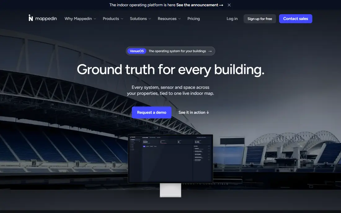
Mappedin lets a team upload a floor plan and build an interactive map with indoor navigation, then share it on a website or embed it for visitors. The free tier covers unlimited floors, map editing, indoor navigation and sharing, which is enough for a single building that needs a clear directory and directions. Paid tiers add detailed location information, custom icons, multi-building mapping and developer tools.
The catch is scale. Pro is priced at $165 per map per month in published material, so a portfolio with many maps needs careful counting before committing. Still, for a first map, or for a venue that wants to test visitor response before a larger rollout, Mappedin is the lowest-risk starting point in this list.
- Free Maker tier for basic maps
- AI-assisted map creation
- SDK and API access on Pro
- Pro pricing is per map, which adds up across many venues
- Enterprise features need a custom quote
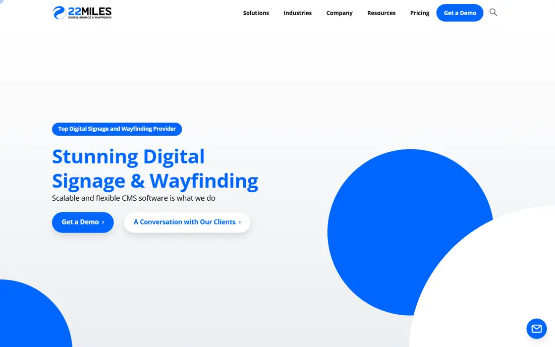
22Miles focuses on the visitor experience at a kiosk or on a phone, with fly-over views, stacked floor views and directions that account for accessible routes. Venues can add news, promotions, traffic and weather information alongside directions, which helps in malls, hospitals and corporate campuses where a screen must do more than point the way.
That breadth also means more setup work than a simple web map. A team should plan who updates tenant listings, events and directory content, because an out-of-date directory hurts trust fast. If you need polished kiosks and a consistent look across many screens, 22Miles is a strong shortlist pick.
- 3D views and multi-floor routing
- Kiosk and mobile options
- Built-in directory and content tools
- Pricing is by quote, so budgeting needs a sales conversation
- Setup suits teams with content to manage
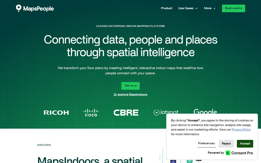
MapsPeople builds indoor maps that work across websites, apps and on-site screens, with search for rooms, stores and services. Its positioning tools can guide a visitor step by step inside a large building, rather than only showing a static route. That matters in airports, hospitals and convention centers where a wrong turn costs real time.
Pricing is custom, and larger deployments usually involve map production, positioning setup and integration work. Smaller venues may find the process heavier than they need. For an organization with several sites and a need for one consistent map system, the extra planning can pay off.
- Maps for web, mobile and kiosks from one platform
- Indoor positioning options
- Broad venue experience
- No published starting price
- Enterprise implementation takes planning
Mapsted sells indoor maps by property size, with published plans starting at $250 per month for properties up to 200,000 square feet. That clarity is rare in this category and makes an early budget conversation much simpler. After purchase, venues can use the maps in apps, on desktop or on kiosks, and edit points of interest in the Mapsted Maps CMS.
The trade-off is that area-based pricing still climbs for very large sites, and teams should confirm what positioning, analytics and support are included at their tier. For a mall, hospital or campus that wants a defined starting point without a long quote process, Mapsted deserves a close look.
- Published starting price by property size
- Self-serve plan purchase
- Map CMS for updates
- Starting price covers up to a set area, so very large sites pay more
- Positioning depth varies by plan
Situm combines indoor maps with outdoor navigation, so a visitor can travel from a parking area or street entrance to a room inside without switching tools. Its platform supports step-by-step directions, search and maps that developers can build into an existing app. That end-to-end flow suits hospitals, airports and large workplaces where the journey starts outside.
Because positioning accuracy depends on the building and the hardware approach, a pilot in one area is wise before a full rollout. Teams should also confirm ongoing costs for map updates and support. If your main problem is the last part of the journey, from the door to the desk, Situm is a focused option.
- Indoor and outdoor routing in one flow
- Wayfinding tools for apps and the web
- Analytics options
- Pricing is by quote
- Indoor positioning setup needs care in complex buildings
GoodMaps builds indoor maps with a focus on accessible navigation, helping visitors who use wheelchairs, canes or other mobility aids find step-free routes. Teams can publish maps for phones and the web, with search for rooms and services. That accessibility focus is a practical benefit for hospitals, campuses and public buildings, not just a compliance checkbox.
The trade-off is that pricing is by quote and coverage depends on the building, so a pilot helps. For a venue that puts accessible routes first, GoodMaps is a strong option, and its approach can improve the experience for every visitor, not only those who need step-free access.
- Accessibility-focused routing
- Indoor maps for phones
- Tools for campuses and public venues
- Pricing is by quote
- Positioning coverage varies by building
MazeMap is widely used by universities and hospitals, where visitors and new staff must find rooms across many buildings. Its maps support indoor routing, search for rooms and services, and integration with existing campus systems. That sector focus shows in features for classrooms, clinics and large public buildings.
A small single-building venue may not need this depth, and pricing requires a quote. For a university or health system that wants one map experience across a whole estate, MazeMap is a proven choice, and its track record in those settings is a real advantage.
- Strong campus and hospital focus
- Indoor maps with routing
- Tools for events and room finding
- Pricing is by quote
- Best value comes with a full campus or hospital rollout
Pointr focuses on accurate indoor positioning, showing a visitor as a moving dot on the map rather than only a planned route. That helps in very large or complex buildings where people lose track of where they are. Venue teams can also use location data to understand busy routes and improve signage and staffing.
Positioning projects depend on building layout, so results vary and a pilot matters. Pricing is custom, which suits larger venues but makes early budgeting harder for small teams. If precise indoor location is the core need, rather than a simple directory map, Pointr belongs on the shortlist.
- Indoor positioning and blue-dot navigation
- Maps for apps and the web
- Analytics for venue teams
- Pricing is by quote
- Positioning projects need testing in each building
How we picked these
We compared official product pages, pricing pages and published plan details for tools that build indoor maps and visitor routes. We favored products that exist and work in October 2026, cover real venue types such as malls, hospitals, campuses and offices, and offer a clear way to create and update a map. Where pricing was not published, we wrote See website rather than guessing a figure.
What to check before you buy
Start with the map itself. Ask how you will create it, who updates it when a store moves or a room changes, and how long that update takes to reach visitors. A map that is hard to update will go stale, and a stale map is worse than no map at all.
Next, test routing in the real building. Walk the routes a visitor would take, including step-free options, and check how the map behaves on a phone with weak signal. If you plan kiosks, confirm screen sizes, offline behavior and how content is managed across screens. Finally, compare total cost, including map production, positioning setup, per-map or per-area fees and support, not just the headline monthly price.
Frequently asked questions
What is digital wayfinding software?
It is software that turns floor plans into searchable, interactive maps for visitors. People can find a store, room or service, then follow a route on a phone, website or kiosk.
Do I need indoor positioning, or is a map enough?
A searchable map is enough for many small venues. Indoor positioning helps in very large buildings where visitors need live guidance, but it adds setup and testing work.
How much does digital wayfinding software cost?
Prices range from free for a basic map to hundreds of dollars per month per map or property, with enterprise projects priced by quote. Area, number of locations and positioning needs drive the final price.
Can visitors use it without downloading an app?
Yes, in most cases. Many tools publish maps on the web or on kiosks, so visitors can use a browser link or a QR code. An app version is useful for repeat visitors and staff.
How do I keep the map accurate?
Choose a tool with a simple editor, assign one owner for updates, and review tenant and room changes on a regular schedule. Test key routes after any major change.
Sources
See where you really rank - block by block
ProMapRanker scans Google Maps across a grid of your service area. Simple monthly plans from $19, white-label on every plan.
Start freeKeep reading
 who has best internet service
Who Has the Best Internet Service in 2026
Who has best internet service for US homes? We compare fiber, cable, fixed wireless and satellite providers on speed, price, availability and terms today.
Read → which survey tool has the best analytics
Which Survey Tool Has the Best Analytics in 2026
Find which survey tool has the best analytics in 2026, comparing Qualtrics, SurveyMonkey, Typeform, Alchemer, and more on reports, text, and stats today.
Read → which streaming service has the best movies
Which Streaming Service Has the Best Movies in 2026
Answering which streaming service has the best movies, with Netflix, Max, Criterion and more compared on libraries, prices and free options in this guide.
Read →