 ProMapRanker
Trimble Inc. Top Competitors and Alternatives in 2026


Design and build coordination · Pricing starts at: See website
Key takeaways
- No single vendor covers every part of the construction technology and geospatial stack, so most teams pick one tool for design, one for field work, and one for project control.
- Autodesk and Bentley suit design-led and infrastructure-led teams, while Procore suits contractors who want field execution in one place.
- Esri and QGIS suit mapping and location analysis, while Topcon and Leica suit survey and machine control work in the field.
- Enterprise pricing is often quoted, so ask for implementation, training, and data migration costs in writing before you compare totals.
Quick comparison
| Pick | Great for | Pricing starts at | Free tier | |
|---|---|---|---|---|
| Autodesk Construction Cloud | Design and build coordination | See website | Free trial | Visit |
 Esri ArcGIS Online | Mapping and location analysis | $100 per year | Free trial | Visit |
 Procore | Contractor field execution | See website | No | Visit |
 Bentley Systems | Large infrastructure design | See website | Free trial | Visit |
 Hexagon | Survey and industrial measurement | See website | No | Visit |
 Topcon Positioning | Survey and machine control | See website | No | Visit |
 Leica Geosystems | High accuracy survey gear | See website | No | Visit |
 QGIS | Free open source mapping | Free | Yes | Visit |
 DroneDeploy | Drone mapping and site progress | See website | Free trial | Visit |
The best Trimble competitors and alternatives
These nine options cover the main ground that construction technology and geospatial buyers compare: design coordination, project execution, mapping, and field measurement. This is a comparison of competitors and alternatives, not a verified ranking, and the right pick depends on which part of the work you are replacing.

Autodesk is the closest design-side counterpart for teams that work in building information modeling. Construction Cloud brings design files, models, documents, and field issues into shared project spaces, which helps design teams and contractors work from the same current information. If your main pain is coordination between architects, engineers, and builders, this is a natural first shortlist entry.
The catch is scope. Autodesk covers a wide set of products, and choosing the right bundle takes care. Smaller firms should start with the modules they will use every week, rather than buying the full set at once, and confirm what support and onboarding are included.
- Broad design and construction toolset
- Strong model coordination
- Large partner and integration set
- Pricing varies by product and plan
- Some teams need training to use the full suite well
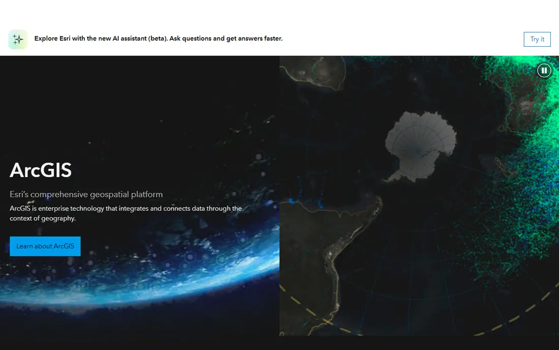
Esri is the standard many public agencies and large firms use for geographic information work. ArcGIS Online lets teams create maps, run location analysis, and share results through web apps, without running a full desktop GIS install for every user. It fits asset mapping, site selection, planning, and reporting work that needs a map at the center.
The honest limit is depth. A basic online subscription covers a lot of everyday mapping, but heavy analysis, large data publishing, and enterprise administration sit in higher tiers. Check credit use and user types before you sign, since those details shape the real annual cost.
- Deep mapping and analysis tools
- Large library of location data
- Web apps for sharing maps
- Full enterprise GIS setups can get complex
- Advanced analysis needs training

Procore suits general contractors and owners who want one system for daily field work. Drawings, requests for information, submittals, daily logs, and punch lists live together, so field teams spend less time hunting for the current version of a document. It is built for execution, not for survey hardware or detailed design modeling.
Pricing is the main friction. Procore prices by construction volume rather than publishing a simple per-user rate, so two firms can pay very different amounts. Ask for a written quote that spells out modules, contract length, and renewal terms.
- Field-first project tools
- Drawings, RFIs, and punch lists in one place
- Unlimited user model on many plans
- Pricing is quoted, not published
- Implementation effort varies by project size
Bentley focuses on infrastructure: roads, bridges, rail, utilities, and plants. Its design and project delivery tools, including ProjectWise for work sharing, suit teams that manage long-lived assets and complex engineering models. If your work is civil infrastructure rather than commercial building, Bentley deserves a close look.
The trade-off is weight. Bentley tools reward teams with engineering depth and longer project horizons. A small contractor with short, simple jobs will likely find a lighter project tool faster to adopt and cheaper to run.
- Strong infrastructure design tools
- Digital twin and asset workflows
- Project delivery controls
- Enterprise pricing and setup
- Smaller firms may find it heavier than needed
Hexagon covers geospatial software, reality capture, and industrial measurement through several divisions. That breadth helps firms that need survey data, scanning, and asset information to flow into the same workflows. It is a good fit for organizations that already buy measurement hardware and want software to match.
Because Hexagon sells many products under one name, the buying process needs care. Name the exact workflow first, such as survey data processing or plant asset management, and ask the vendor to map it to one product, not a bundle of related tools.
- Broad geospatial and measurement portfolio
- Strong sensor and reality capture options
- Enterprise support
- Product range is wide and can confuse buyers
- Pricing is quoted
Topcon is a field-first alternative for teams that measure, lay out, and grade real sites. Its total stations, GNSS receivers, and machine control systems connect to field software that crews use on site. For earthworks, paving, and site layout, that hardware-plus-software link is the point.
The catch is total cost. Instruments, software, subscriptions, and service add up, and switching hardware brands later is not trivial. Get a full quote that includes hardware, software, and support, and test the workflow on a real job before committing a whole fleet.
- Survey instruments and machine control in one ecosystem
- Field software for layout and grading
- Dealer support network
- Hardware cost sits on top of software
- Ecosystem lock-in can grow over time
Leica Geosystems, part of Hexagon, is known for survey instruments and laser scanners used where accuracy matters most. Survey firms, engineering teams, and reality capture specialists use its total stations, GNSS, and scanners to build precise models of existing conditions. If your work feeds design models with survey-grade data, Leica is a serious option.
Price is the honest barrier. Leica gear sits at the premium end, and scanning workflows need trained staff and processing time. Firms that only need occasional measurements may be better served by a service provider or a lower-cost instrument.
- High accuracy instruments
- Strong laser scanning range
- Well regarded field software
- Premium pricing
- Learning curve for advanced scanning workflows
QGIS is the free, open source answer for mapping and spatial analysis. It handles vector and raster data, map production, and analysis through a large set of community plugins. Small firms, nonprofits, and public agencies use it to avoid subscription costs while keeping real GIS capability.
The trade-off is support. There is no single vendor to call, so training, troubleshooting, and maintenance rest with your team or a paid support provider. If you need a guaranteed response time, budget for a support contract alongside the free software.
- Free and open source
- Large plugin library
- Runs on major desktop systems
- No vendor support contract by default
- Setup and training fall to your team
DroneDeploy turns drone flights into maps, 3D models, and progress reports that project teams can compare over time. Construction, mining, and agriculture teams use it to track earthworks, stockpiles, and site change without walking every part of a large site. It fits the progress and documentation part of the stack well.
The limits are practical, not just technical. You still need a drone, a pilot who meets local rules, and good flight conditions. Firms without in-house drone capacity should price pilot services into the total before comparing DroneDeploy with a pure software option.
- Drone maps and 3D models from flights
- Progress tracking over time
- Cloud processing
- Needs a compatible drone and trained pilot
- Flight rules vary by location
How we picked these
We compared official product pages, pricing pages, and public feature descriptions for vendors that compete in construction technology and geospatial software. We kept only vendors with a live product that fits design coordination, project execution, mapping, or field measurement, and we left out the subject company itself. Where pricing is quoted rather than published, we wrote See website instead of guessing a figure.
What to check before you buy
Match the tool to the job, not the brand
Start by writing down the job you are replacing. Design coordination, field execution, mapping, and survey measurement are different jobs, and one vendor rarely wins all four. Shortlist two options per job, then compare them on that job alone.
Price the whole stack
Ask each vendor for hardware, software, implementation, training, and renewal costs in one quote. Enterprise tools often look close on a headline price and far apart once support and data migration are added. For open source tools, price the support and training you will need instead.
Run a real project test
Use a current project, with real files and real field conditions, for the trial. Check file imports, mobile use on site, offline behavior, and how exports feed the next tool in your chain. A demo with sample data hides the friction that shows up on a live job.
Frequently asked questions
Who are the main competitors to Trimble in construction technology?
Autodesk, Bentley, Procore, Hexagon, Topcon, and Leica are among the main names, each strong in a different slice of the market. Autodesk and Bentley lean toward design, Procore toward field execution, and Hexagon, Topcon, and Leica toward measurement and field hardware.
Is there a free alternative for mapping work?
Yes, QGIS is free and open source and covers a wide range of mapping and analysis work. It suits teams that can handle their own setup and training, or that buy support from a third party. Paid GIS tools add vendor support, hosted sharing, and enterprise administration.
Which alternative suits a small contractor best?
Procore or Autodesk Construction Cloud often suit small to mid-size contractors, depending on whether field execution or design coordination matters more. Get a written quote for each, since quoted pricing can change the comparison. A trial on a live project is the fastest way to tell which interface your crew will actually use.
Do these alternatives work with survey hardware?
Topcon and Leica sell hardware and software together, while Esri, QGIS, and DroneDeploy work with survey and drone data in different ways. Check compatibility with your existing instruments before you buy, since file formats and field workflows vary. Ask the vendor to show an import and export using your own data.
Can one tool replace a full Trimble setup?
In most cases, no single tool replaces design, execution, mapping, and measurement at once. Most firms keep a small set of tools and connect them through shared files or integrations. Map your current workflows first, then replace one workflow at a time.
Sources
See where you really rank - block by block
ProMapRanker scans Google Maps across a grid of your service area. Simple monthly plans from $19, white-label on every plan.
Start freeKeep reading
 zscaler alternatives
Best Zscaler Alternatives in 2026
Looking for zscaler alternatives? We compare 9 SASE and zero trust platforms on architecture, data protection, pricing, and fit for your network and team.
Read → zapier alternatives free
Best Zapier Alternatives Free in 2026
Nine automation tools for zapier alternatives free in 2026, all with genuinely free tiers, plus free plan limits, starting prices and upgrade paths explained.
Read → which platform is best for online reputation
Which Platform Is Best for Online Reputation in 2026
Wondering which platform is best for online reputation? We compare 8 review, listing, and response tools for small and multi-location businesses and agencies.
Read →