 ProMapRanker
Best Maptive Alternatives in 2026

Key takeaways
- BatchGeo and Scribble Maps are the fastest routes to a shareable map from a spreadsheet, while eSpatial and ArcGIS Online suit deeper territory work.
- Mapline and MapBusinessOnline sit in the middle, with territory tools and business data at a lower cost than full GIS software.
- Free plans are useful for small maps, but paid plans matter once you pass a few thousand locations or need regular updates.
- Route planning, territory balancing, and CRM connections vary widely, so match the tool to the job rather than to the longest feature list.
- A trial with your real spreadsheet will reveal speed and pin limits faster than any demo video.
Quick comparison
| Pick | Great for | Pricing starts at | Free tier | |
|---|---|---|---|---|
 BatchGeo | Quick spreadsheet maps | Free | Yes | Visit |
 eSpatial | Territory management | $1,495 per year | Free trial | Visit |
 Mapline | Sales territories and forms | $99 per month | Free trial | Visit |
 ZeeMaps | Simple shared maps | See website | Yes | Visit |
 Scribble Maps | Drawing and annotating maps | Free | Yes | Visit |
 ArcGIS Online | Full GIS analysis | See website | Free trial | Visit |
 MapBusinessOnline | Demographics and markets | $500 per year | Free trial | Visit |
 EasyMapMaker | Low-cost marker maps | $29 per month | Free trial | Visit |
 Badger Maps | Field sales routes | See website | Free trial | Visit |
The best maptive alternatives
These nine tools turn addresses and spreadsheets into maps, but they aim at different users, from a solo rep to a team managing territories across a country. We compared official feature pages, pricing pages, and public reviews, and we did not claim hands-on testing.
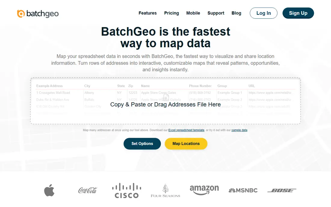
BatchGeo is the tool to reach for when you need a map today, not a mapping project next quarter. Paste addresses or upload a spreadsheet, and BatchGeo plots the points, groups them, and gives you a link to share or embed. That speed makes it popular with small sales teams, event planners, and anyone who needs to show where customers, stores, or leads sit.
The limits show up as maps grow. Route planning stops at 25 stops, which rules it out for large delivery runs, and territory management stays basic next to tools built for that job. Paid plans raise the location limit, but they do not turn BatchGeo into a full GIS platform. Use it when the map itself is the deliverable, and look elsewhere when territories and analysis drive decisions.
- Very fast setup from pasted addresses
- Free plan for small maps
- Shareable maps and embeds
- Route optimization caps at 25 stops
- Territory tools are limited compared with eSpatial
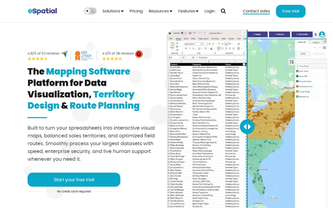
eSpatial is built for sales leaders who need fair, balanced territories, not just pins on a map. You can draw territories by geography, balance them by customer count or revenue potential, and adjust them as teams change. Drive-time polygons and radius tools help managers see who can realistically cover an area, which matters when travel time eats into selling time.
That focus comes at a price that small businesses may find steep, and the CRM connection centers on Salesforce, so teams on other CRMs should check integration options early. Setup also takes more thought than BatchGeo, since territory rules need real business input. For a sales operation with several reps and contested boundaries, that extra work pays off in fewer disputes and clearer coverage.
- Automated territory creation and balancing
- Drive-time and radius analysis
- Salesforce connection
- High entry price for small teams
- Fewer CRM connections than some rivals
Mapline tries to cover the full sales mapping job in one account: import locations, build territories, plan routes, and collect data through forms. That combination suits retail, distribution, and field service teams that need maps tied to daily work rather than a one-off picture. The import flow stays simple, and the map tools do not assume GIS training.
Large datasets are the weak spot, with reports of slower performance once maps pass a few thousand pins, so teams with very large lists should test with real data first. Higher-tier features also add cost, which can push the total above the entry price. For a mid-size team that wants territories, routes, and forms together, Mapline still offers a practical middle path.
- Territory tools plus forms and workflows
- Route optimization included
- Straightforward spreadsheet import
- Performance can lag on very large maps
- Advanced features sit on higher tiers
ZeeMaps keeps the job simple: create a map, add markers, group them, and share the result. Community groups, clubs, store locators, and small businesses use it to show locations without learning GIS terms or buying a large platform. Custom markers and groups help readers tell categories apart at a glance, which matters on a public map.
It is not an analysis tool, and teams that need territory balancing, demographic overlays, or route optimization will need to look elsewhere. Pricing details and plan limits also vary, so check the current page before you build a map you plan to keep for years. For a clear, shareable map with modest needs, ZeeMaps does the job with little fuss.
- Easy map creation and sharing
- Marker groups and custom icons
- Works well for public-facing maps
- Analysis tools are limited
- Pricing and limits need a close read on the vendor site
Scribble Maps stands out for drawing on top of a map rather than only plotting points. You can sketch areas, measure distances, add text and markers, and share the result, which helps with site plans, event layouts, delivery zones, and classroom maps. The free plan covers a lot of casual use, and the interface stays approachable for people who have never used mapping software.
Business users should note the limits. Territory balancing, demographic data, and CRM connections are not the focus here, so a sales manager who needs those tools will find Scribble Maps thin. It also works best as a visual and planning aid rather than a system of record for customer locations. Pair it with a spreadsheet or CRM for data, and use the map for the picture.
- Free plan for drawing and markers
- Annotation and measurement tools
- Easy sharing and embedding
- Territory management is basic
- Business data layers are thinner than MapBusinessOnline
ArcGIS Online is the heavyweight in this list, and it suits teams that need real geographic analysis rather than a pretty map. You can combine your own data with demographic, environmental, and boundary layers, run spatial analysis, and publish web apps from the same account. Government agencies, utilities, and large companies use it because it handles complex projects that simpler tools cannot.
Casual users will feel the weight of that power. The interface assumes some GIS knowledge, and pricing depends on user types and credits, so the total cost needs careful planning. A small team that only plots addresses will pay for depth it never uses. Choose ArcGIS Online when analysis, data quality, and long-term mapping work justify the learning time and budget.
- Deep analysis, layers, and data tools from Esri
- Huge library of maps and data
- Strong sharing and app options
- Steep learning curve for casual users
- Costs can grow with users, credits, and data use
MapBusinessOnline combines mapping with demographic and market data, which helps with site selection, market planning, and sales analysis. You can see who lives in an area, how markets compare, and where coverage gaps sit, all on the same map as your customers or stores. Territory and route tools cover the daily sales work as well, so it serves as a single tool for many small and mid-size businesses.
The interface does not look as modern as newer rivals, and that can slow down new users who expect a slick dashboard. Tutorial and template support is also thinner than for larger platforms. If market data matters more to your decisions than a polished interface, MapBusinessOnline earns its place, especially at a yearly price well below full GIS software.
- Demographic and market data built in
- Territory and route tools
- Suited to site selection and market analysis
- Interface feels dated next to newer tools
- Smaller community of tutorials and templates
EasyMapMaker is one of the cheapest paid options in this list, and it covers the core job well: upload a spreadsheet, plot markers, style them, and share the map. Heat maps and cluster maps show where points concentrate, which helps a small team spot patterns without analysis training. The price makes it an easy choice for a business that maps locations a few times a month.
The gaps are clear and should not surprise anyone at this price. There is no territory management, no CRM integration, and no route planning, so teams that need those features will need a second tool. EasyMapMaker works best as a visualization tool for straightforward address lists, and it does that job at a price that is hard to beat.
- Low monthly price
- Drag-and-drop spreadsheet uploads
- Heat maps and cluster maps
- No territory management or CRM integration
- Route planning is not part of the tool
Badger Maps is built around the day of a field sales rep, not the desk of an analyst. Reps can see customers on a map, build an efficient route, check in at visits, and update notes from a phone, while managers see coverage and activity. That mobile-first design separates it from tools that only produce a static map for a meeting.
Office teams that never visit customers will find much of Badger Maps unnecessary, and pricing requires a closer look at the vendor site or a sales conversation. It also overlaps with CRM tools, so check how it connects to your existing customer records before you commit. For a team that lives on the road, the route and check-in tools can save real hours each week.
- Route planning built for field reps
- Customer data and check-ins on mobile
- Territory visualization
- Pricing is not fully transparent on the public site
- Less suited to office-only mapping
How we picked these
We compared official pricing and feature pages, app store listings, and public reviews, and we kept only tools that are live and actively sold in October 2026. We mixed quick spreadsheet mappers, territory platforms, one full GIS option, and one field sales tool, so different mapping jobs are covered. We did not claim hands-on testing, and where pricing was unclear or conflicting across sources, we wrote See website rather than guessing a figure.
What to check before you buy
Start with your data, not the tool. Count your locations, note how often the list changes, and check whether addresses need geocoding or already include latitude and longitude. A tool that handles 500 locations well may struggle at 50,000, and a tool built for static maps may frustrate a team that updates data daily. Run your real file through a trial before you pay.
Next, list the decisions the map must support. Plotting stores for a website needs little more than markers and sharing, while balancing sales territories needs territory rules, drive times, and reporting. Route planning, demographic data, and CRM connections each point to different tools, so rank those needs before you compare prices. A cheap tool that lacks one must-have feature costs more in workarounds than a pricier tool that includes it.
Finally, check sharing and upkeep. Ask who can view and edit the map, whether embeds work on your site, and how updates flow from your spreadsheet or CRM. A map that only one person can update will go stale fast. Pick the tool your team will actually maintain, not the one with the longest feature page.
Frequently asked questions
What is the cheapest Maptive alternative?
BatchGeo and Scribble Maps both offer free plans for small maps, and EasyMapMaker starts at $29 per month for paid use. The cheapest fit depends on how many locations you map and whether you need routes or territories. Free plans suit one-off maps, while paid plans suit regular business use.
Can I import a spreadsheet into these tools?
Yes, most tools in this list accept spreadsheet uploads or pasted addresses, including BatchGeo, Mapline, eSpatial, and EasyMapMaker. Check the accepted file formats and column requirements before you buy. Clean addresses with separate street, city, and postal code fields will geocode more reliably.
Which alternative is best for sales territories?
eSpatial is the strongest territory choice here, with automated creation and balancing tools. Mapline and MapBusinessOnline also handle territories at a lower cost. Test with your real rep list and customer data, since territory quality depends on your rules as much as on the software.
Do I need GIS software to make a business map?
No, most business maps do not need full GIS software. Spreadsheet mappers cover store locators, customer maps, and simple territory views. Full GIS tools such as ArcGIS Online matter when you need spatial analysis, large data layers, or published mapping apps.
How many locations can these tools handle?
Limits vary widely, from a few thousand on free plans to tens of thousands or more on paid plans. BatchGeo paid plans handle larger lists than its free plan, while ArcGIS Online handles very large datasets. Check the limit on your exact plan and test with your full file during a trial.
Can field reps use these maps on a phone?
Badger Maps is built for mobile field use, and most web tools in this list work in a mobile browser. Scribble Maps and ZeeMaps maps also open on phones for viewing. If reps need check-ins and route updates on the road, pick a tool with a mobile app rather than a viewer only.
Sources
See where you really rank - block by block
ProMapRanker scans Google Maps across a grid of your service area. Simple monthly plans from $19, white-label on every plan.
Start freeKeep reading
 zoro.to alternatives
Best Zoro.to Alternatives in 2026
We compare the best zoro.to alternatives in 2026, listing only legal licensed anime streaming services, from Crunchyroll to free options for fans today.
Read → zip alternatives
Best Zip Alternatives in 2026
We compare the best zip alternatives for buy now, pay later in 2026, covering pay-in-4 plans, fees, spending limits, and credit reporting options today.
Read → yesware alternatives
Best Yesware Alternatives in 2026
Compare the best yesware alternatives for sales email tracking, templates, and sequences, with current pricing and honest tradeoffs for small sales teams.
Read →