 ProMapRanker
Drones Software Alternatives: 5 Tools Compared in 2026
Direct answer
Skycatch comes first here, mainly for mining spatial data and AI insights. Listed starting prices: Correlator3D from $295 a month and Drone Harmony from $99 per month. Look at Correlator3D for rapid photogrammetry from several sources, and at PrecisionHawk for general drone data and analytics interest. All 5 tools are compared below on price, free plan and limits.
Short on time? The summary and table above give the quick view of 5 tools for Drones Software, and the profiles that follow give the detail behind each entry.
Key takeaways
- Number one here is Skycatch, a fit for mining spatial data and AI insights.
- The cheapest monthly starting price in the list is $99 per month, offered by Drone Harmony.
- Skycatch, Propeller Aero and the 3 others all need a premium plan or a trial, since no free plan is listed.
- Propeller Aero fits Earthworks and construction survey analytics.
Quick comparison
| Pick | Great for | Pricing starts at | Free tier | |
|---|---|---|---|---|
 Skycatch | Mining spatial data and AI insights | See website | Not stated | Visit |
 Correlator3D | Rapid photogrammetry from several sources | $295 a month | Free trial | Visit |
 PrecisionHawk | General drone data and analytics interest | See website | Not stated | Visit |
 Drone Harmony | Automatic power line and asset inspection | $99 per month | Free trial | Visit |
 Propeller Aero | Earthworks and construction survey analytics | See website | Not stated | Visit |
The 5 tools in detail
Choose Skycatch for mining spatial data and AI insights. Skycatch is described as supplying near-real-time spatial data and AI capabilities that strengthen mine planning and execution.
Points against: Restricted appeal outside industrial sites.
Worth adding: operations teams managing large, changing terrain are the clearest audience for this kind of drone data pipeline. Also, the stated focus on mining means construction, agriculture and inspection users may not find the workflow aligned with their needs. This comparison lists no price for Skycatch; ask the vendor. Free access: Not stated.
- AI capabilities for site analysis
- Mine planning and execution focus
- Positioning centers on mining operations
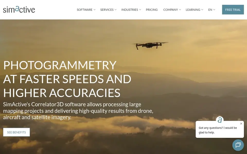
Correlator3D is a good fit for rapid photogrammetry from several sources. Correlator3D, from SimActive, is high-end mapping software designed for rapid processing of imagery from drones, aircraft and satellites.
More specifically, as specialist processing software, it assumes users understand photogrammetry concepts and have the hardware to match. Entry price for Correlator3D: $295 per month. As for free access: Free trial.
Trade-offs to know: Needs imagery and hardware planning.
- Aircraft and satellite imagery
- Positioned as high-end mapping software
- Desktop processing may suit specialists more than casual users

PrecisionHawk targets general drone data and analytics interest. Since product lines in this space change, the practical approach is to treat it as a name to investigate instead of a confirmed match for a specific workflow.
Worth adding: teams researching drone software alternatives may encounter it as a legacy choice. No starting price is listed for PrecisionHawk here; confirm pricing on the vendor site. On free options: Not stated.
Downsides: Fit relies on your specific workflow.
- Wide aerial data positioning
- Established name in drone data
- Current product details are hard to confirm
Drone Harmony makes the most sense for automatic power line and asset inspection. For construction earthworks, Propeller Aero is a more direct match. The inspection orientation means teams primarily wanting map stitching or volumetric surveys may not get the analytics they need.
Honest limits: Narrow focus on inspection missions.
Beyond that, confirm supported aircraft, dock compatibility and mission planning limits with the vendor. As for the details, advanced 3D flight planning and DJI Dock integration are highlighted on its homepage. Price to start with Drone Harmony: $99 per month. As for free access: Free trial.
- Power line and pole inspection automation
- 3D flight planning
- Mapping analytics are not the core pitch
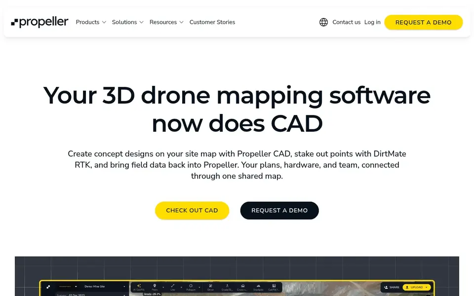
Pick Propeller Aero if this describes you: Earthworks and construction survey analytics. Propeller Aero presents itself as a drone mapping and 3D construction data analytics system. Its homepage flags smart surveys for earthworks and unified mapping paired with analytics tools intended to boost project efficiency.
Limits to weigh: Aimed primarily at earthworks and construction.
As for the details, Hobbyists or small operators wanting entry-level image stitching should look at more straightforward mapping choices first. Confirm data formats, integrations and supported workflows on the vendor site before committing. From a buyer's view, because the system is oriented toward earthworks and construction analytics, teams outside those workflows may find it heavier than needed. Pricing for Propeller Aero is not stated here, so ask the vendor for current figures. As for free access: Not stated.
- Unified mapping with analytics tools
- 3D construction data focus
- May be more than straightforward mapping needs need
How we built this list
Pricing pages, product documentation and feature lists were the main sources, and every entry carries at least one honest drawback. Plan names, prices and limits change often. Treat the figures here as a starting point and verify them with the vendor. Tools are placed by general fit for Drones Software, with price clarity and free access as tie-breakers. A different team can reasonably rank them differently.
A buyer's checklist
- Ask Skycatch, PrecisionHawk and Propeller Aero for a written quote, since no starting price is shown.
- Run a trial of Correlator3D and Drone Harmony with real work before paying for a year; your own workflow is the best test.
- Before choosing Skycatch, weigh its main limit: positioning centers on mining operations.
- Confirm that Drone Harmony connects to the apps your team already uses, on the plan you would actually buy.
- Compare total cost, not headline price: for Skycatch, add extra seats, add-ons and any usage-based charges.
Frequently asked questions
How are the tools for Drones Software ordered?
The order follows typical fit for Drones Software, with Skycatch first and Propeller Aero last, then price clarity and free access. It is editorial judgement, not a score, so another team could rank the tools differently.
What is the cheapest option for Drones Software in this list?
On published monthly entry prices, Drone Harmony is the lowest here at $99 per month. Entry price is only part of the cost, because seats, add-ons and billing terms can change the total.
Does any tool for Drones Software here have a free plan?
No tool in this list, Skycatch and Propeller Aero included, has a permanent free plan. Correlator3D, Drone Harmony offer a trial. Trials and quotes are the usual route, so plan a short evaluation period.
Can I try these options before paying?
Often, yes. Correlator3D and Drone Harmony offer a free trial. Use your own data and a real task during the test, and check what the free tier or trial limits before you rely on it.
What is the best drone software alternative for construction earthworks?
Skycatch is the pick this page puts first, mainly for mining spatial data and AI insights. If your situation differs, Correlator3D suits rapid photogrammetry from several sources, and PrecisionHawk suits general drone data and analytics interest. Compare price and limits before you decide.
Sources
See where you really rank - block by block
ProMapRanker scans Google Maps across a grid of your service area. Simple monthly plans from $19, white-label on every plan.
Start freeBrowse all guides
← Best Time Saving AI Apps for Work in 2026Leonardo AI Alternatives in 2026: Prices and Free Plans →
 best emerging ai software for startups
Best Emerging AI Software for Startups in 2026
Best emerging AI software for startups: 6 contenders ranked by fit, with entry costs and free tiers. Each profile ends with a plain caveat. Facts only.
Read → best ai talking avatar generator
Top 6 AI Talking Avatar generator, Compared on Price (2026)
6 products for the best AI talking avatar generator, ranked by fit, with starting costs and free tiers. Each profile ends with a plain caveat. Prices included.
Read → best ai platforms for analyzing quarterly results
Best AI Platforms for Analyzing Quarterly Results (2026)
Best AI platforms for analyzing quarterly results in 2026: 5 contenders with entry costs and free tiers. Plain-spoken summaries throughout. Straight answers.
Read → janitor ai alternatives
Janitor AI Alternatives in 2026
Compare the best Janitor AI alternatives for character chat and roleplay, with pricing, safety notes, moderation practices, and honest trade-offs in 2026.
Read → best new ai tools march
Best New AI Tools March in 2026
Explore the best new ai tools march that drew attention around March 2026, with honest notes on access, pricing and what each tool does for readers today.
Read → best ai optimization platforms global coverage
6 Best AI Optimization Platforms Global Coverage Options for 2026
6 tools for the best AI optimization platforms global coverage, compared on pricing, free plans and best-fit use. Real limits included. Costs up front.
Read →More in AI Tools · All guides A to Z by date · Latest guides