 ProMapRanker
Best Trail App in 2026: 10 Apps Compared

Key takeaways
- AllTrails is our pick for most hikers, thanks to its large trail library, recent reviews and simple route following.
- Gaia GPS is the strongest choice for backcountry navigation, with deep map layers and reliable offline use.
- Komoot excels at route planning for hiking and cycling, especially for multi-day trips and turn-by-turn navigation.
- Outdooractive, Wikiloc and Trailforks add real value for European routes, community tracks and mountain biking.
- Offline maps are worth paying for on any serious hike, since cell service is unreliable on many trails.
Quick comparison
| Pick | Great for | Pricing starts at | Free tier | |
|---|---|---|---|---|
 AllTrails | Trail discovery and reviews | $35.99 per year | Yes | Visit |
 Gaia GPS | Backcountry navigation | See website | Yes | Visit |
 Komoot | Route planning for hiking and cycling | $59.99 per year | Yes | Visit |
 Outdooractive | European routes and travel | See website | Yes | Visit |
 Wikiloc | Community trails worldwide | See website | Yes | Visit |
 Trailforks | Mountain biking trails | See website | Yes | Visit |
 onX Backcountry | Off-trail and public land maps | See website | Yes | Visit |
 FarOut | Long-distance thru-hikes | See website | Yes | Visit |
 Hiking Project | Free US trail maps | Free | Yes | Visit |
 Avenza Maps | Paper-style maps on your phone | See website | Yes | Visit |
The best trail apps
We compared the apps on trail coverage, map quality, offline use, route planning and community reports. Prices below are for the paid tier where we could verify it, and the free tier is noted for each app.
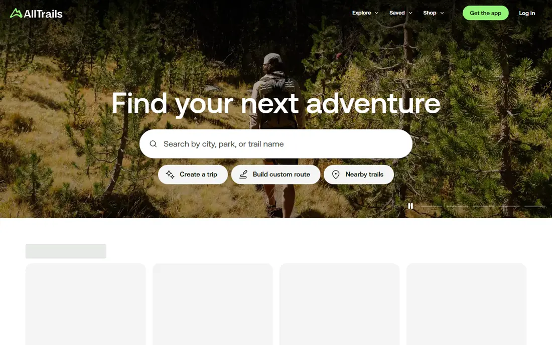
AllTrails is the easiest place to start when you want a trail near you. Search by distance, difficulty, activity and features such as waterfalls or dog-friendly paths, then read recent reviews for current conditions. That community layer matters, because a trail that was fine in spring can be muddy, overgrown or closed by autumn, and recent reports flag those changes fast.
The paid Plus tier adds offline map downloads, wrong-turn alerts and trail condition details such as snow depth. Those features are worth the price for regular hikers, since the free app needs a signal to load maps. Check user-added routes against an official park map when the route looks unclear, since not every community route follows a marked trail.
- Huge trail library
- Recent condition reviews
- Wrong-turn alerts on Plus
- Some user-added routes are inaccurate
- Offline maps require the paid tier
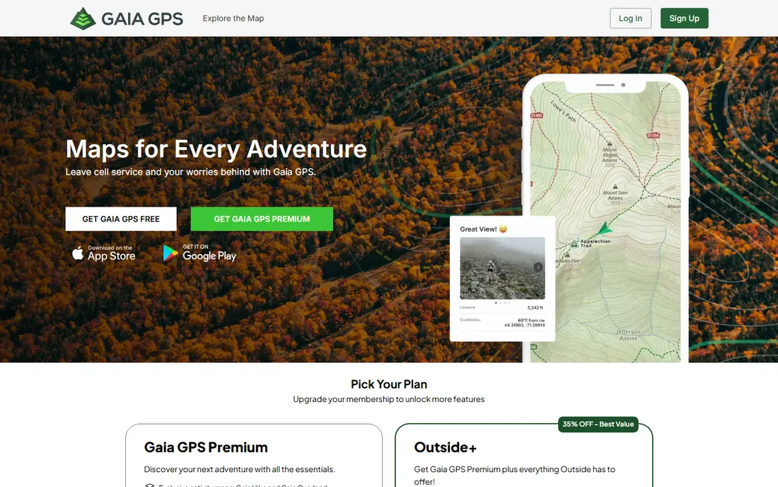
Gaia GPS is the app serious backcountry users reach for when AllTrails feels too simple. It offers topographic maps, satellite imagery, public land boundaries, weather overlays and many other layers, and you can download maps for offline use before you leave home. Waypoints, tracks and routes can be planned on a computer and synced to your phone, which helps for multi-day trips.
The trade-off is complexity. New users can feel lost among the map layers and settings, and the most useful layers require a paid membership. Spend an evening learning the app before a remote trip, and always download the area you need. For navigation beyond marked trails, Gaia GPS is the most capable tool in this list.
- Hundreds of map layers
- Strong offline downloads
- Route and waypoint tools
- Learning curve for new users
- Best maps sit behind the paid tier
Komoot plans routes rather than just listing trails, which makes it different from AllTrails. Tell it your sport, fitness level and preferred surface, and it builds a route with elevation, distance and surface details. Turn-by-turn voice navigation keeps you on track without staring at the screen, and the multi-day planner splits longer trips into daily stages.
The pricing needs care. New users need a Premium subscription to sync routes to external devices, while older accounts that bought map products kept that access. Check the current Premium terms before you pay, and test the free region first. For hikers and cyclists who plan their own routes, Komoot is the most thoughtful planner here.
- Smart route planning by sport
- Turn-by-turn voice navigation
- Multi-day trip planner
- Device sync for new users requires Premium
- Map pricing has changed over time
Outdooractive is the strongest pick for hiking and cycling in Europe, especially in the Alps. Its library includes routes from tourism boards and local partners, which often means better descriptions and more reliable paths than community-only apps. Route planning, elevation profiles and offline maps support longer trips, and the app covers hiking, cycling, mountain biking and winter sports.
In the United States, coverage is thinner than AllTrails or Gaia GPS, so it works better as a travel companion than a daily home app. If your next big trip is in Europe, download your routes in advance and check whether the paid tier adds the offline maps you need. For Alpine holidays, Outdooractive is hard to beat.
- Large European route library
- Official tourism partner routes
- Good planning tools
- US coverage is thinner
- Some features need the paid tier
Wikiloc is a community library of GPS tracks from around the world, and its strength is sheer coverage. You can find trails in places where the bigger apps have little data, filter by activity, distance and difficulty, and follow a recorded track on your phone. That makes it useful for travel and for less popular regions, where official trail data is thin.
Quality varies, since anyone can upload a track, so check the track description, recent comments and the map before you follow it. Offline maps and advanced navigation sit behind the paid tier, which is worth considering for remote use. Wikiloc is best as a discovery tool alongside a stronger navigation app for serious backcountry work.
- Huge worldwide community track library
- Filters by activity and difficulty
- Offline maps on paid tier
- Track quality varies
- Navigation is simpler than Gaia GPS or Komoot
Trailforks is built for mountain bikers, and it shows in the detail. Trails are graded by difficulty, marked by type, and updated with condition reports from riders and local clubs. You can plan a ride around flow trails, jumps or climbs, log your ride, and check whether a trail is open before you drive to the trailhead. That local, rider-driven data is more useful than a generic hiking app for bike parks.
Hikers will find less here, since the database centers on biking. Coverage also depends on local contributors, so some regions are far richer than others. For mountain bikers, though, Trailforks is the first app to check, and it pairs well with Komoot or Gaia GPS for navigation on the ride itself.
- Detailed mountain bike trail database
- Trail status and condition reports
- Ride logging
- Hiking coverage is limited
- Some regions depend on local contributors
onX Backcountry helps you understand where you are allowed to go, which matters for off-trail hiking, camping and hunting-adjacent trips. Land ownership and public land boundaries are shown clearly, alongside trails, terrain and water features. Offline maps let you carry that detail into areas without service, and you can mark waypoints for campsites, water sources and parking.
The full offline experience requires a paid membership, and the land data is strongest in the United States. Casual day hikers on marked trails may not need it, but anyone venturing off trail or planning dispersed camping will value the boundary information. Use it to stay on public land and avoid trespassing.
- Public and private land boundaries
- Offline maps
- Trail and terrain detail
- Paid tier needed for full offline use
- Best value for US users
FarOut, formerly known as Guthook Guides, is the standard app for long-distance trails such as the Appalachian Trail and the Pacific Crest Trail. Each guide is built for one trail and includes water sources, campsites, resupply points, town services and elevation profiles, with comments from hikers ahead of you on the trail. That detail is what makes a multi-week hike manageable.
Guides are bought per trail, so the cost adds up if you hike many long trails, and FarOut is not meant for finding a short local walk. For a thru-hike or a long section hike, though, it is the most practical tool available, and offline use is built for days away from service. Buy the guide for your trail well before departure and study the resupply plan.
- Detailed thru-hike guides
- Water sources and campsites
- Offline use for long trails
- Guides are sold per trail
- Not a general trail discovery app
Hiking Project, from the team behind other outdoor project sites, offers a clean and free way to find trails in the United States. Trail pages include maps, elevation profiles, difficulty ratings and photos, without a subscription wall. It is a good starting point for new hikers who want to explore local trails without paying first.
The limits are coverage and offline depth. International trails are thinner, and the offline experience is not as polished as AllTrails Plus or Gaia GPS. For a free US trail finder, though, Hiking Project is excellent, and it works well alongside a paid navigation app for longer trips. Start here if you hike occasionally and want a no-cost option.
- Free to use
- Good US trail data
- Simple trail pages with maps and elevation
- No paid offline tier to match AllTrails Plus
- Coverage outside the US is limited
Avenza Maps turns published PDF maps into GPS-aware maps on your phone. You can buy official park maps, topographic sheets and trail maps from the in-app store, then see your live location on the same map a ranger would hand you. That is valuable in parks where the official map is more accurate than community data, and offline use is straightforward once the map is downloaded.
The cost model differs from a subscription. Maps are bought one by one, so a hiker who visits many parks can spend more than a yearly subscription elsewhere. The interface also feels older than AllTrails or Komoot. For park-specific trips where the official map matters, Avenza Maps is the most faithful digital version of that map.
- Official park and topographic maps
- GPS location on PDF maps
- Offline use
- Maps are bought individually
- Interface feels dated
How we picked these
We compared official feature pages, pricing pages, app store listings and public reviews for trail apps that work in October 2026. We kept apps with real trail data, offline options or strong route planning, and we favored a mix of discovery apps, navigation tools and specialist apps for biking and thru-hiking. We did not list apps that only track fitness without trail maps or route data.
Trail safety basics every hiker should follow
Download offline maps before you leave, since many trails have no cell service, and carry a charged phone plus a portable battery for longer hikes. Tell someone your route and expected return time, especially for solo or remote hikes, and check the weather and trail conditions before you set out. Carry water, food, a basic first-aid kit and a paper map or compass as a backup, because a phone can run out of power, break or lose signal. If conditions change or you feel unsure about the route, turning back is the right call, and no app replaces good judgment on the trail.
Frequently asked questions
What is the best trail app for hiking?
AllTrails is the best trail app for most hikers, thanks to its large library and recent reviews. Gaia GPS is better for backcountry navigation, and Komoot is better for planning your own hiking or cycling routes. Many hikers use AllTrails for discovery and Gaia GPS for navigation on the same trip.
What is the best free trail app?
Hiking Project is a strong free option for US trails, and the free tiers of AllTrails, Gaia GPS and Komoot all cover basic trail browsing and recording. Offline maps usually require a paid tier, so free apps work best on trails with cell service or for short, well-marked walks.
What is the best app for trails with offline maps?
AllTrails Plus, Gaia GPS and onX Backcountry all offer offline map downloads for paid members. Download the full area before you leave home, test the offline map with your phone in airplane mode, and carry a backup battery for longer hikes.
What is the best outdoor app for mountain biking?
Trailforks is the best outdoor app for mountain biking, with trail grades, condition reports and ride logging built for riders. Komoot is a good second choice for planning a cycling route, especially for gravel and touring rides that mix trails and roads.
Do trail apps work without cell service?
Yes, if you download maps in advance and your phone GPS is active. GPS works without a cell signal, but the app needs the map data stored on your phone. Download the route area on Wi-Fi before you leave, and keep your phone charged for the return trip.
Can I use a trail app to plan a multi-day hike?
Yes, Komoot and Gaia GPS both support multi-day route planning, and FarOut is built for long-distance trails with resupply and campsite data. Plan water sources, campsites and exit points in advance, and share your full plan with someone at home.
Sources
See where you really rank - block by block
ProMapRanker scans Google Maps across a grid of your service area. Simple monthly plans from $19, white-label on every plan.
Start freeKeep reading
 zscaler alternatives
Best Zscaler Alternatives in 2026
Looking for zscaler alternatives? We compare 9 SASE and zero trust platforms on architecture, data protection, pricing, and fit for your network and team.
Read → zapier alternatives free
Best Zapier Alternatives Free in 2026
Nine automation tools for zapier alternatives free in 2026, all with genuinely free tiers, plus free plan limits, starting prices and upgrade paths explained.
Read → which platform is best for online reputation
Which Platform Is Best for Online Reputation in 2026
Wondering which platform is best for online reputation? We compare 8 review, listing, and response tools for small and multi-location businesses and agencies.
Read →