 ProMapRanker
Best Traffic Apps in 2026: 9 Apps Compared

Key takeaways
- Google Maps and Waze remain the strongest free starting points for most drivers, with live traffic and rerouting built in.
- Waze stands out for driver reports about crashes, hazards, and roadworks, while Google Maps covers places, transit, and offline areas more fully.
- Apple Maps suits iPhone owners who want a calm display and Siri control, but Android drivers need a different pick.
- TomTom GO, HERE WeGo, and Sygic are worth a look when offline maps, clear lane guidance, or long trips matter more than social reports.
- No single app is right for every road, so keep a second app with downloaded maps for areas with weak signal.
Quick comparison
| Pick | Great for | Pricing starts at | Free tier | |
|---|---|---|---|---|
 Google Maps | Most drivers who want one free app | Free | Yes | Visit |
 Waze | Commuters who want fast incident warnings | Free | Yes | Visit |
 Apple Maps | iPhone owners who want a calm, built-in app | Free | Yes | Visit |
 TomTom GO | Drivers who want clear, distraction-free guidance | Free | Yes | Visit |
 HERE WeGo | Travellers who need offline maps | Free | Yes | Visit |
 Sygic | Drivers who want offline maps plus driver help | Free | Yes | Visit |
 MapQuest | Drivers who want simple routing and trip planning | Free | Yes | Visit |
 INRIX Traffic | Drivers and fleets who want detailed traffic data | See website | No | Visit |
 Citymapper | City travellers who mix driving, transit, and walking | Free | Yes | Visit |
The best traffic apps
Traffic apps promise the same thing, a faster way home. In practice they differ in how they spot a jam, how quickly they reroute, and how much they need a data connection. We compared official feature pages, pricing, and app store listings to sort the free defaults from the paid driving tools.
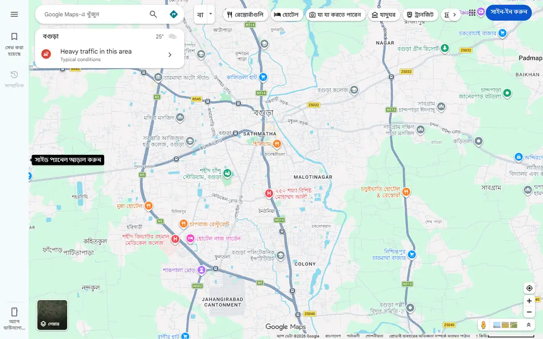
Google Maps is a strong fit for most drivers who want one app for driving, transit, walking, and finding places. Live traffic, business details, and multi-stop routing sit in one place, and offline areas help when signal drops. Pricing starts at Free, and the free plan status is Yes. That combination makes it worth a short test on a real task before you commit to a wider rollout. The catch is that it can send you on a route that looks faster on paper but feels less direct in a neighbourhood you know well. Check the route preview before you start, and compare the suggested time with the alternative route shown on the screen. If that trade-off fits your routine, it is easy to recommend. If it does not, one of the other picks in this list is a better match.
- Live traffic and rerouting
- Strong place search and transit
- Downloadable offline areas
- Heavy data collection
- Can favour main roads over local shortcuts
For commuters on busy roads who want to hear about trouble early, Waze deserves a close look. Driver reports often surface a crash or closure before traffic speed data alone would show it, and rerouting is quick. Pricing starts at Free, and the free plan status is Yes. The key question is whether its strengths match the job you do most often. The catch is that it needs a data connection for live reports, so it is weak in areas with poor signal. Set alert types before you drive, and keep Google Maps or an offline app as a backup for rural stretches. If that trade-off fits your routine, it is easy to recommend. If it does not, one of the other picks in this list is a better match.
- Driver reports for crashes, hazards, and roadworks
- Quick rerouting
- Voice reporting
- No full offline navigation
- Display can feel busy with many alerts
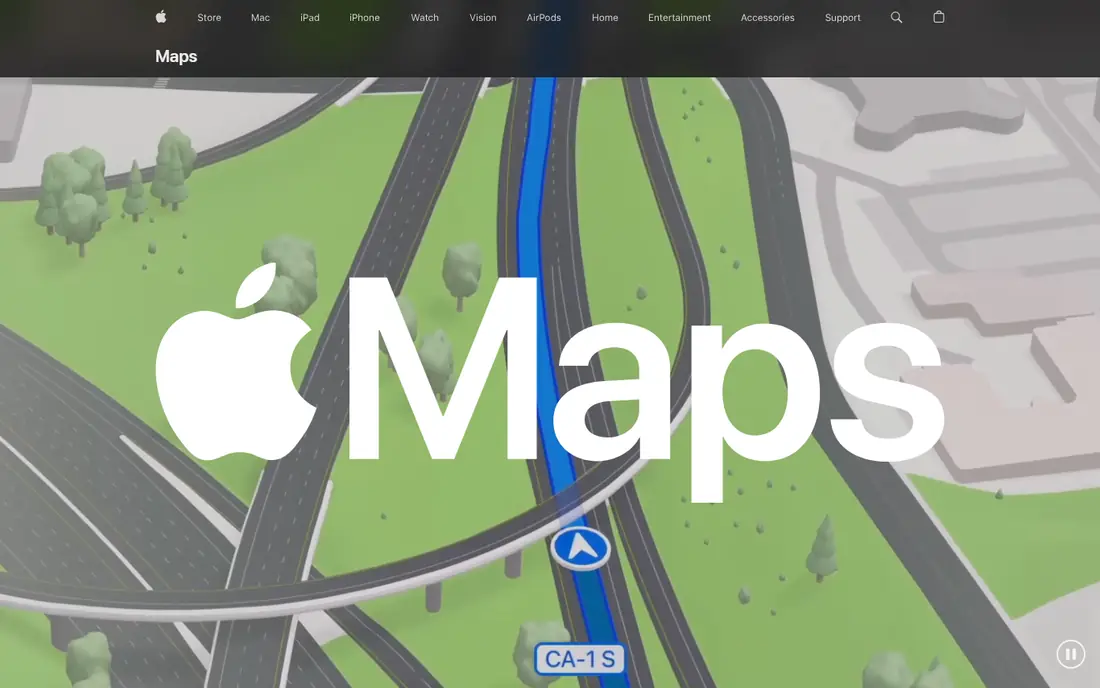
Start with Apple Maps if you are looking for a tool for iPhone owners who want navigation that fits the rest of their phone. The display stays easy to read at a glance, and Siri keeps your hands on the wheel for common commands. Pricing starts at Free, and the free plan status is Yes. It is not perfect for every use, but it covers the core job well. The catch is that place coverage and business details can lag Google Maps in some towns and rural areas. Use it as your main app on iPhone, and check a second source for a new or remote destination. If that trade-off fits your routine, it is easy to recommend. If it does not, one of the other picks in this list is a better match.
- Clean display and Siri control
- CarPlay fit
- Downloadable map areas on iPhone
- IPhone only
- Place search is narrower than Google Maps in some areas
TomTom GO is a strong fit for drivers who prefer a classic GPS feel over a social feed. Lane guidance and a clean screen help at complex junctions, and TomTom has long experience in road data. Pricing starts at Free, and the free plan status is Yes. That combination makes it worth a short test on a real task before you commit to a wider rollout. The catch is that the standard app is not the best offline choice, and the truck-focused Expert version is a separate paid app. Try the free app on your commute first, and check which features need a subscription before a long trip. If that trade-off fits your routine, it is easy to recommend. If it does not, one of the other picks in this list is a better match.
- Clear lane guidance and speed camera information
- Clean map display
- Regular map updates
- Some advanced features need a paid plan
- Offline use is limited in the standard app
For travellers, drivers in weak-signal areas, and anyone who wants offline maps without a subscription, HERE WeGo deserves a close look. Full-region downloads make it a strong backup and a strong main app abroad, where roaming data can be costly. Pricing starts at Free, and the free plan status is Yes. The key question is whether its strengths match the job you do most often. The catch is that traffic and place data can feel thinner than the big defaults in smaller towns. Download your region on Wi-Fi before you travel, and test offline routing at home first. If that trade-off fits your routine, it is easy to recommend. If it does not, one of the other picks in this list is a better match.
- Download whole regions for offline use
- No ads in the app
- Driving, transit, and walking modes
- Live traffic depth varies by region
- Place details are thinner than Google Maps in some places
Start with Sygic if you are looking for a tool for drivers who want offline navigation with extra driving aids. Offline maps plus speed and camera warnings give it a practical edge on long and unfamiliar roads. Pricing starts at Free, and the free plan status is Yes. It is not perfect for every use, but it covers the core job well. The catch is that the full feature set sits behind paid plans, so the free version is a starting point rather than the whole product. Check the current paid plan on the vendor site, and turn on only the warnings you will actually use. If that trade-off fits your routine, it is easy to recommend. If it does not, one of the other picks in this list is a better match.
- Offline maps and navigation
- Speed limit and camera warnings
- Head-up display option
- Some features need a paid plan
- The interface packs in many options
MapQuest is a strong fit for drivers who plan multi-stop trips and like a simple web planner. Multi-stop planning is easy to read, and the web version is handy for planning at a desk before you drive. Pricing starts at Free, and the free plan status is Yes. That combination makes it worth a short test on a real task before you commit to a wider rollout. The catch is that live incident detail is thinner than the crowd-reported apps, so a sudden closure may appear later. Plan the trip on the web, send it to your phone, and keep Waze open for live incident warnings on busy days. If that trade-off fits your routine, it is easy to recommend. If it does not, one of the other picks in this list is a better match.
- Simple route planning with multiple stops
- Live traffic on routes
- Web and mobile access
- Fewer live incident reports than Waze
- Less depth for transit than Google Maps
For fleets, transport planners, and drivers who want data depth over a simple free app, INRIX Traffic deserves a close look. Its traffic data reaches many cars and services, so the underlying information is broad and well established. Pricing starts at See website, and the free plan status is No. The key question is whether its strengths match the job you do most often. The catch is that it is not the easiest pick for a casual driver who just wants a free app with turn-by-turn voice guidance. Check the current INRIX product page for your region, and pair it with a navigation app if you need voice guidance. If that trade-off fits your routine, it is easy to recommend. If it does not, one of the other picks in this list is a better match.
- Detailed traffic data and incident information
- Used by many transport and auto partners
- Route and travel time data
- Consumer app availability and pricing vary, and it is less of a simple free consumer navigation app
Start with Citymapper if you are looking for a tool for city residents and visitors who combine car, bus, train, and walking in one trip. In supported cities it explains a mixed trip better than a driving-only app, with live departures and disruption notes. Pricing starts at Free, and the free plan status is Yes. It is not perfect for every use, but it covers the core job well. The catch is that coverage is limited to supported cities, so it cannot replace a driving app on a long intercity trip. Check that your city is covered before you rely on it, and use Google Maps or Waze for the driving legs outside the city. If that trade-off fits your routine, it is easy to recommend. If it does not, one of the other picks in this list is a better match.
- Strong city transit, walking, and cycling directions
- Live departure and disruption data
- Clear step-by-step city routes
- City coverage is limited, and it is not a full long-distance driving app
How we picked these
We compared official feature pages, pricing pages, and app store listings, and we favoured products that exist and work today and truly fit the topic. We checked free tiers, starting prices, and platform support, and we used See website where a price could not be verified from a vendor page. We did not claim hands-on testing, and we did not invent features, prices, or awards. Where products overlap, we kept the pick with the clearest fit for a distinct reader need. We also weighed honest weaknesses. A tool with a strong free plan but a narrow platform, or a powerful platform with quote-based pricing, can still earn a place if the trade-off is clear. That is why each product above names a best fit and a catch, so you can match the list to your own budget, devices, and workflow rather than chasing the highest feature count.
What to check before you choose
Start with the free app already on your phone and test it on a normal commute before you pay for anything. Note where it reroutes, whether the voice prompts arrive in time, and how it handles a missed turn. If it saves time on most days, that is your main app. A second app is still useful as a backup. Download maps for your home area and any regular long route, and set alert preferences before you drive so warnings stay helpful instead of noisy. For a long trip, check roadworks and closures the night before, then let the app adjust on the day. Battery use and data use also matter on older phones, so close other map apps and keep a car charger handy. If you drive a truck, a large vehicle, or a route with low bridges, check vehicle size routing before you trust a car app, since most picks here are built for cars. Check the current vendor page for price, free plan, and platform support before you buy or sign up, since terms change. A short trial on a real task will tell you more than a feature list, and it will reveal problems with speed, accuracy, or support before they affect a larger project. Keep your current tool running during the trial, so you can switch back if the new pick does not fit.
Frequently asked questions
What is the best live traffic app for daily commuting?
For most commuters, Waze is the strongest choice for live incident reports, while Google Maps is the strongest all-round choice. Waze relies on driver reports, so busy routes tend to get faster warnings. Google Maps blends traffic speed data with place search, transit, and offline maps, which helps when a trip is more than a commute.
Is Waze better than Google Maps?
Waze is often better at warning about a crash, hazard, or roadwork reported moments earlier by another driver. Google Maps is often better for finding places, planning a multi-stop trip, and using transit or walking directions. Many drivers keep both and use Waze for the commute and Google Maps for everything else.
Which traffic app works offline?
HERE WeGo and Sygic are built around downloaded maps, and Google Maps lets you download areas for offline use. Waze needs a data connection for live reports and has no full offline mode, so it is a poor sole choice in areas with weak signal. Download your maps before you leave, and check that offline navigation is turned on.
Are traffic apps free?
The main consumer apps in this list are free to download and use, including Google Maps, Waze, Apple Maps, HERE WeGo, and MapQuest. TomTom GO and Sygic offer free use with paid options for extra features, and INRIX is aimed more at businesses and partners than at a free consumer download. Check the vendor page for the current terms before you rely on a paid feature.
Do traffic apps work with CarPlay and Android Auto?
Google Maps, Waze, and Apple Maps work with the car systems their platforms support, and TomTom GO and Sygic also offer car display support. Apple Maps is the natural fit on CarPlay, while Google Maps and Waze cover both major car systems. Confirm support for your car model and phone before a long trip.
Sources
See where you really rank - block by block
ProMapRanker scans Google Maps across a grid of your service area. Simple monthly plans from $19, white-label on every plan.
Start freeKeep reading
 zoho inventory alternatives
6 Alternatives to Zoho Inventory, Compared on Price and Fit
Zoho Inventory alternatives: 6 tools compared on price, free plans and fit. Katana leads the list for manufacturers. Fit and flaws are laid out for each entry.
Read → zoho crm alternatives
Best Zoho CRM Alternatives (2026)
Need Zoho CRM alternatives? We compare 7 tools on cost, free access and who each suits. Every pick gets a straight assessment. Built for quick decisions.
Read → zelle alternatives
Best Zelle Alternatives in 2026
Compare the best Zelle alternatives for sending money to friends, paying sellers and moving funds abroad, with honest notes on fees, speed and safety in 2026.
Read →