 ProMapRanker
Best Store for Industrial Drone Analytics Tools in 2026

One-off desktop photogrammetry licence · Pricing starts at: Quote only
Direct answer
Agisoft Metashape is the first pick on this list for one-off desktop photogrammetry licence. Listed starting prices: Birdi from $60 a month, DroneDeploy from $1,908 a year and DJI Terra from $300 a year (Agriculture, 3 devices). Birdi fits small teams sharing maps with clients; Skydio fits autonomous inspection and public safety fleets. All 6 tools are compared below on price, free plan and limits.
ProMapRanker put together this guide to store for industrial drone analytics tools for readers who want a clear shortlist without reading every vendor page. It compares 6 tools on starting price, free plans, who each one suits and where each one falls short.
Key takeaways
- The list opens with Agisoft Metashape, aimed at one-off desktop photogrammetry licence.
- Check the limits for Propeller Aero before you commit: no public price, so every plan needs a sales quote.
- Birdi is the lowest-priced starter here at $60 per month.
- Birdi is the only tool of the 6 with a free plan.
- DJI Terra fits DJI drone and LiDAR fleets.
Quick comparison
| Pick | Great for | Pricing starts at | Free tier | |
|---|---|---|---|---|
| Agisoft Metashape | One-off desktop photogrammetry licence | Quote only | Free trial (30 days) | Visit |
 Birdi | Small teams sharing maps with clients | $60 a month (billed yearly) | Yes | Visit |
 Skydio | Autonomous inspection and public safety fleets | Quote only | No | Visit |
 Propeller Aero | Earthworks volumes and cut and fill | Quote only | Free trial (14 days) | Visit |
 DroneDeploy | Construction and energy site mapping | $1,908 a year (billed yearly) | Free trial (14 days) | Visit |
 DJI Terra | DJI drone and LiDAR fleets | $300 a year (Agriculture, 3 devices) | Free trial | Visit |
The full store for industrial drone analytics tools list
Agisoft Metashape is a good fit for one-off desktop photogrammetry licence. Standard makes point clouds and textured models, whereas Professional layers on georeferencing, ground control points, DEM and orthomosaic generation, LiDAR support and multispectral processing. On top of that, the page checked did not present a public price, so the starting price is quote only.
The main drawbacks: floating licences are quoted through resellers only.
Beyond that, the licence is node-locked to one machine, it is not time-limited. It bundles 12 months of email support and free updates up to version 2.x. Do not choose it for cloud sharing or a team on numerous machines. Agisoft Metashape does not publish a starting price; ask for a quote. Free access: Free trial (30 days).
- Perpetual node-locked licence with no annual renewal
- MacOS and Linux
- No public price on the page checked
In short, Birdi is for small teams sharing maps with clients. Additional processing costs $9 per gigapixel.
The Free plan bundles 2 gigapixels of processing, so a small team can test the engine before buying. Birdi cost at the entry level: $60 per month. Birdi offers a free plan.
Limits to weigh: thermal and LiDAR work is held for Ultimate.
- Free plan comes with 2 gigapixels of processing
- Plus costs $60 a month on annual billing
- Growth at $287 a month is needed for volume measurement and GCP processing
Choose Skydio for autonomous inspection and public safety fleets. Skydio sells direct and through authorised government resellers, but the official site presents no public price, so the starting price is quote only.
Downsides: No public price, with every drone.
Worth adding: the value is autonomy: six navigation cameras map the surroundings in real time, the aircraft can track subjects and fly pre-programmed missions with There is no fixed entry price for Skydio; pricing comes through a quote. No free plan comes with Skydio.
- US-built aircraft for government buyers
- Autonomous flight with obstacle avoidance
- Dock and software bundle quoted
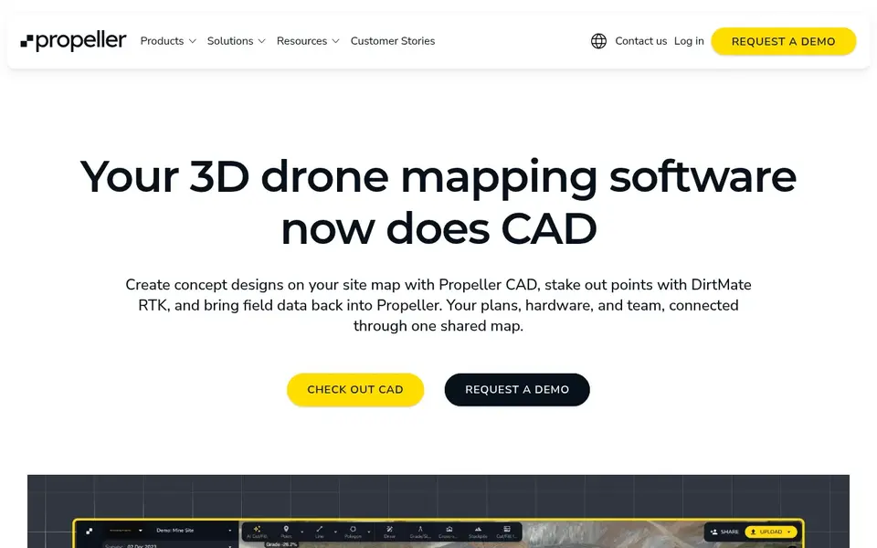
Pick Propeller Aero if this describes you: Earthworks volumes and cut and fill. AeroPoints are smart ground control points that provide survey-grade control, and DirtMate is a machine-mounted sensor that streams telematics from heavy equipment into the same map. Choose Propeller Aero when your work is earthworks, mining, aggregates or waste, and when volume numbers drive billing.
Worth adding: do not choose it for a single small site. The product accepts data from drones, GNSS rovers and total stations, and it plugs into Trimble Connect, Procore, Autodesk BIM 360 and OneDrive. Pricing for Propeller Aero is quote based, so budget talks start with the vendor. On free options: Free trial (14 days).
Reasons to shortlist it: 14-day trial. The main drawbacks: sold per site, which fits large earthworks jobs more than small sites.
- Cloud system for 3D maps
- AeroPoints smart ground control points
- No public price, so every plan needs a sales quote
DroneDeploy is built with construction and energy site mapping in mind. DroneDeploy sells direct, and the two published prices are $1,908 a year for Ag Lite and $4,188 a year for Flight and Analysis, both billed yearly.
Strengths: Cloud maps.
Where it falls short: Ag Lite is restricted to 1,000 images per map and VARI plant health only.
From a buyer's view, do not choose Ag Lite for construction work, since its tools and image limit fit farm work only. In daily use, advanced layers on 10,000 images per map, cut and fill against a design surface, vertical facade inspection and radiometric thermal work, but the price is Starting cost for DroneDeploy: $1,908 per year. Free access: Free trial (14 days).
- 14-day free trial
- Autodesk and Esri
- Team plans show no public price
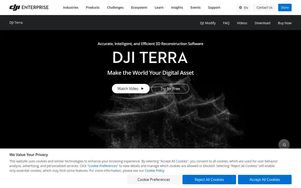
DJI Terra is built with DJI drone and LiDAR fleets in mind. DJI Terra is sold direct on the DJI Store as an online licence. The Agriculture edition costs $300 a year for 3 devices.
Worth adding: Terra only processes DJI data, and it needs Windows with a NVIDIA card. Choose DJI Terra when your fleet is already DJI. Also, standard and Flagship are the central mapping editions, with Flagship adding Gaussian splatting and the Electricity application. Each online licence binds to one DJI account and one computer, and that account cannot be changed. Starting cost for DJI Terra: $300 per year. Free plan details: Free trial.
Limits to weigh: Windows only with a NVIDIA card and 32 GB of RAM.
- Sold direct on the DJI Store
- No upgrade fees since version 5.0
- Works with DJI drones and DJI LiDAR only
What went into this list
For each of the 6 tools we noted price, free plan or trial, fit for store for industrial drone analytics tools and the main limit, using vendor pages and documentation. Where a vendor does not publish a price, the entry says quote. Where a price depends on seats or billing term, the entry says so. Order on the page follows fit for the typical buyer first, then price transparency and free access. Your own requirements should decide the final pick.
Things to verify first
- Ask Agisoft Metashape, Skydio and Propeller Aero for a written quote, since no starting price is shown.
- Look at the free plan from Birdi closely: its caps decide whether it is usable for real work.
- Run a trial of Agisoft Metashape, Propeller Aero, DroneDeploy and DJI Terra with real work before paying for a year; your own workflow is the best test.
- Read the limits listed for Agisoft Metashape first: no public price on the page checked.
- A short pilot of Propeller Aero with your real workflow tells you more than a feature table.
- Ask Birdi whether prices are locked for the first term and what happens at renewal.
Frequently asked questions
Do these tools publish their prices?
Not all of them. Agisoft Metashape, Skydio and Propeller Aero publish no starting price, so expect a quote request for those. The rest, Birdi included, show a starting price, though seats and billing terms still change the final cost.
Can I try these options before paying?
Often, yes. Birdi has a free plan and Agisoft Metashape, Propeller Aero, DroneDeploy and DJI Terra offer a free trial. Use your own data and a real task during the test, and check what the free tier or trial limits before you rely on it.
How are the store for industrial drone analytics tools ordered?
The order follows typical fit for store for industrial drone analytics tools, with Agisoft Metashape first and DJI Terra last, then price clarity and free access. It is editorial judgement, not a score, so another team could rank the tools differently.
Is Agisoft Metashape the right pick for everyone comparing store for industrial drone analytics tools?
No single tool suits every team. Agisoft Metashape comes first because it fits one-off desktop photogrammetry licence, while Birdi suits small teams sharing maps with clients and Skydio suits autonomous inspection and public safety fleets. Match the tool to your own size, budget and workflow before deciding.
Which is best for construction site mapping?
Start with Agisoft Metashape if you need one-off desktop photogrammetry licence. Birdi is the better match for small teams sharing maps with clients, and Skydio for autonomous inspection and public safety fleets. The best choice depends on budget, team size and workflow.
Sources
See where you really rank - block by block
ProMapRanker scans Google Maps across a grid of your service area. Simple monthly plans from $19, white-label on every plan.
Start freeBrowse all guides
← Best Software for Product Development Analytics in 2026Way to Manage Contacts Across Platforms: Best Picks of 2026 →
 best pharmacy inventory management software
6 Best Pharmacy Inventory Management Software for 2026
Best pharmacy inventory management software: 6 contenders ranked by fit, with entry costs and free tiers. Plain-spoken summaries throughout. Details below.
Read → best embedded analytics tools for saas products
Best Embedded Analytics Tools for SaaS Products (2026)
Best embedded analytics tools for SaaS products: 6 contenders ranked by fit, with entry costs and free tiers. Short verdicts, no fluff. Details below.
Read → best ecommerce website builders
Top 6 Ecommerce Website Builders, Compared on Price (2026)
Comparing the best ecommerce website builders? 6 contenders, each with entry cost, free tier and best-fit buyer. Short verdicts, no fluff. See which fits.
Read → best oil and gas software
Best Oil and Gas Software in 2026
Best oil and gas software in 2026: we compare 9 tools for subsurface work, reservoir simulation, drilling, production and operations for energy teams.
Read → best product demo software for saas companies
Best Product Demo Software for SaaS Companies in 2026
Best product demo software for SaaS companies in 2026: we compare 8 interactive demo tools for websites and sales calls and trials before you buy a plan.
Read → best mobile giving platforms
6 Mobile Giving Platforms Ranked for 2026
Weighing the best mobile giving platforms? We lined up 6 products by cost, free access and fit. Read the caveats before you buy. Full profiles inside.
Read →More in Ecommerce & Retail · All guides A to Z by date · Latest guides