 ProMapRanker
Best Photogrammetry Software in 2026

Key takeaways
- RealityScan is our pick for most creators because it is free for individuals and businesses under 1 million dollars in annual revenue.
- Agisoft Metashape suits researchers and surveyors who want one-time pricing and control over each reconstruction step.
- Meshroom and WebODM are strong fully free options, with Meshroom best for objects and WebODM best for drone maps.
- Polycam and KIRI Engine bring photogrammetry to a phone, which suits site documentation and quick object scans.
- Photo count, overlap, lighting, and hardware matter as much as software choice, so test with a small set before a large project.
Quick comparison
| Pick | Great for | Pricing starts at | Free tier | |
|---|---|---|---|---|
 RealityScan | Game, VFX, and indie creators | Free | Yes | Visit |
 Agisoft Metashape | Surveyors and researchers | See website | Free trial | Visit |
 3DF Zephyr | Freelancers who want a perpetual license | See website | Yes | Visit |
 Pix4Dmapper | Drone mapping and survey work | See website | Free trial | Visit |
 Polycam | Phone-first 3D scanning | See website | Yes | Visit |
 DroneDeploy | Construction site documentation at scale | See website | Free trial | Visit |
 Meshroom | Free open-source object reconstruction | Free | Yes | Visit |
 WebODM | Free open-source drone mapping | Free | Yes | Visit |
 KIRI Engine | Phone scanning with cloud processing | See website | Yes | Visit |
The best photogrammetry software
We compared reconstruction quality, photo limits, hardware needs, export options, and price. Our list covers desktop, cloud, and phone tools, so you can match the tool to the job.
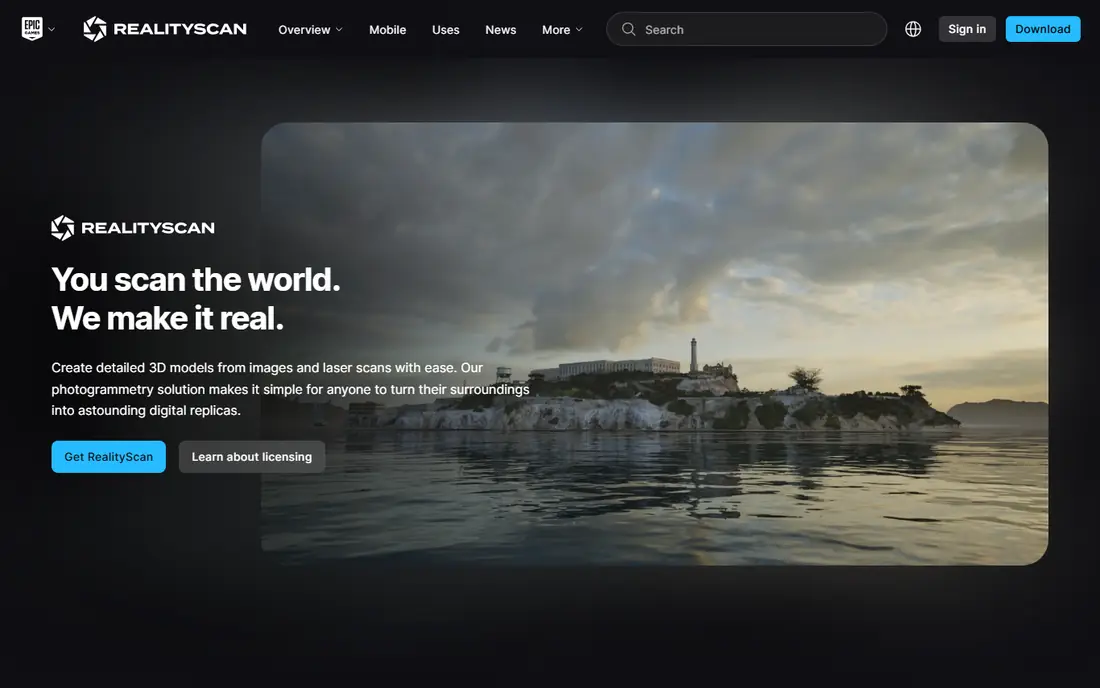
RealityScan, formerly known as RealityCapture, is the strongest starting point for most creators in 2026. Epic Games offers it free below the revenue threshold, which covers students, hobbyists, freelancers, and many small studios. Its desktop app handles large photo sets with speed, and its phone app lets you capture a scan on site.
The main limit is hardware and licensing above the threshold. A recent graphics card helps a lot for desktop processing, and larger businesses pay per seat. For most readers, though, RealityScan gives professional-grade reconstruction without an upfront license cost.
- Free for students, educators, and businesses under 1 million dollars in annual revenue
- Fast, high-quality reconstruction
- Phone and desktop apps
- Paid seats apply above the revenue threshold
- Windows desktop app needs a recent graphics card
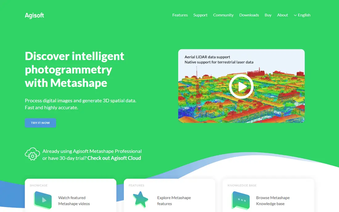
Agisoft Metashape remains a favorite for work that needs careful control. You can tune each step of reconstruction, check camera alignment, and export point clouds, meshes, and orthomosaics for survey and research. Its one-time pricing also appeals to teams that dislike subscriptions.
Metashape is not a quick phone scan tool. It rewards a careful workflow: good overlap, consistent lighting, and a planned photo set. For a heritage record, a survey map, or a research model, that control is worth the learning time.
- One-time license pricing
- Precise control over alignment, dense cloud, mesh, and texture steps
- Strong survey and research use
- Interface takes time to learn
- Processing large sets needs a capable computer
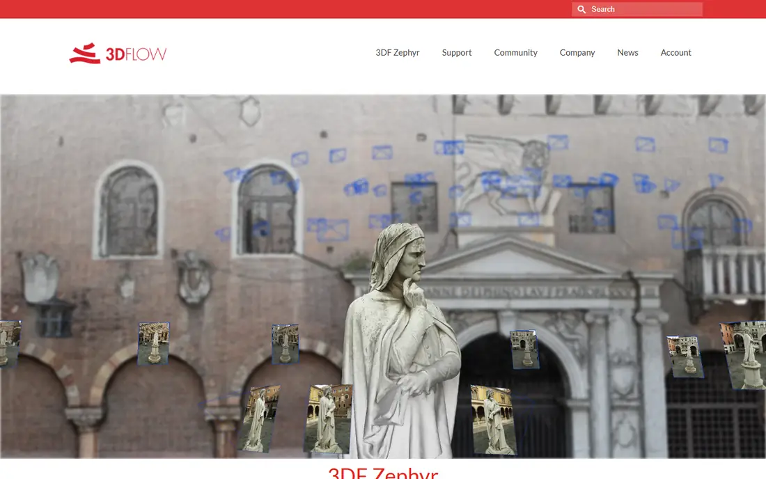
3DF Zephyr suits freelancers who want a clear path from a free test to a paid license they own. The free edition handles small photo sets, which is enough to learn the workflow and scan a simple object. Paid editions raise the photo cap and add features for larger work.
The free photo cap is the main limit. A small object with 50 photos fits, while a building or a large site will not. Try the free edition on a real object first, then buy the edition that matches your usual photo count.
- Free edition for learning and small projects
- Perpetual license options
- Clear workflow from photos to mesh
- Free edition caps photo count
- Larger projects need a paid edition
Pix4Dmapper is built for drone teams that need maps, not just pretty models. It turns drone photos into orthomosaics, elevation models, and point clouds that surveyors and site managers can measure and share. Its workflow covers flight planning, processing, and output in a way object scanners do not.
Pix4Dmapper is a professional tool with professional pricing, and a trial is the right way to test it. It also needs good flight planning: overlap, altitude, and ground control points decide whether a map is measurement-grade or only visual.
- Strong drone mapping, orthomosaics, and survey outputs
- Desktop processing with cloud options
- Survey-grade workflows
- Paid pricing for professional use
- Best results need planned drone flights and ground control for survey accuracy
Polycam brings photogrammetry to a phone in a way that works for construction crews and homeowners alike. Walk around an object or a room, capture photos or LiDAR data, and get a model you can measure, share, and view in 3D. Its floor plan and team library features help site documentation work.
Polycam's free tier has limits, and its paid plans open up full exports and team features. Phone scans also have a scale limit: a room or a piece of furniture scans well, while a large building needs a drone or desktop workflow.
- Phone scanning with photo and LiDAR modes
- Floor plans, measurements, and team libraries
- Easy sharing
- Paid plan needed for full features
- Phone scans suit smaller objects and rooms more than large sites
DroneDeploy suits construction and energy teams that document many sites over time. Upload drone photos to the cloud, get maps and models without a local workstation, and share progress views with clients and crews. Its measurement and comparison tools help a team track change across visits.
DroneDeploy is priced for teams, not for a one-off hobby scan. Solo users should compare its trial with WebODM or Pix4Dmapper before committing, because the cloud convenience comes with a team-scale price.
- Cloud processing for drone maps and models
- Site progress, measurement, and sharing tools
- Scales across many sites
- Paid plans are costly for solo users
- Cloud workflow needs a reliable upload connection
Meshroom is the most complete free photogrammetry tool for object work. Its node-based pipeline lets you see and adjust each reconstruction step, from camera alignment to dense mesh and texture. For learning photogrammetry or scanning objects on a zero budget, it is hard to beat.
Meshroom needs the right hardware. On Windows and Linux, full-quality reconstruction needs an NVIDIA graphics card with CUDA support, and processing can take hours on a large set. Without that card, you get only a rough draft mesh. If you have the hardware and patience, Meshroom can match paid tools on quality.
- Completely free and open source
- Full pipeline from photos to textured mesh
- Strong community and documentation
- Needs an NVIDIA graphics card for full-quality work on Windows and Linux
- No official macOS build
- Steep learning curve
WebODM is the free counterpart to Pix4Dmapper and DroneDeploy for drone mapping. It processes drone photos into maps and models you can view in a browser, measure, and export. For a small survey team, a farm, or a research project on a tight budget, WebODM covers the core mapping job without a subscription.
WebODM setup is more hands-on than a cloud service. You install it on a local machine or server, and processing time depends on your hardware. If you want a one-click cloud upload, a paid tool will feel easier. If you want free and local, WebODM is the pick.
- Free and open source for drone maps
- Orthomosaics, elevation models, and point clouds
- Web interface for results
- Setup takes more effort than a cloud tool
- Processing needs a capable local machine or server
KIRI Engine suits Android and iPhone users who want phone scanning without a powerful desktop. Capture photos on a standard phone, let cloud GPUs process them, and download a model for viewing, sharing, or 3D printing. Its free tier covers many casual scans, which makes it a low-risk test.
Cloud processing means you need a connection to finish a scan, and large scans sit on a paid plan. For a quick object scan on the go, KIRI Engine is a strong free starting point before you move to a desktop tool for larger work.
- Phone scanning with cloud GPU processing
- Free tier with unlimited scans and exports up to a photo limit
- Works without a high-end phone
- Cloud processing needs a connection
- Paid plan needed for larger scans and advanced features
How we picked these
We compared official feature pages, pricing pages, and documentation for reconstruction quality, photo limits, hardware needs, and export options. We favored tools that exist and work now, offer a free plan or trial, and clearly state their limits. We left out tools that have been renamed or discontinued without a clear successor, and we used the current name RealityScan for the former RealityCapture.
How to get a good photogrammetry model
Start with overlap. Photograph an object from many angles with each photo sharing a large part of the last one, and keep the subject in frame from all sides. For drone maps, plan a grid flight with high overlap and consistent altitude. Poor overlap is the most common reason a model has holes or warped parts.
Control light and movement. Shoot in even, diffuse light when you can, avoid harsh shadows that move between photos, and keep the camera steady. Shiny, transparent, and featureless surfaces scan poorly, so a matte spray or extra markers can help on a difficult object. Note the scale of your model with a known measurement, because a photo model has no real size until you give it one.
Finally, match the tool to the output. A phone app is fine for a small object or a room. A desktop tool suits a detailed object or a heritage record. A drone mapping tool suits a site map. Using the wrong scale of tool is a common cause of a disappointing result, even when the software itself is good.
Frequently asked questions
What is the best free photogrammetry software?
Meshroom is best for free object reconstruction, WebODM is best for free drone mapping, and RealityScan is free for individuals and businesses under 1 million dollars in annual revenue. 3DF Zephyr Free and KIRI Engine also offer free tiers with photo limits. Pick based on object, drone, or phone work.
What is the best photogrammetry app for a phone?
Polycam and KIRI Engine are strong phone options, and RealityScan also offers a phone app. Polycam suits rooms, floor plans, and site documentation, while KIRI Engine suits object scans with cloud processing. For large sites, a drone or desktop workflow will still beat a phone.
Do I need a powerful computer for photogrammetry?
Desktop tools like Meshroom, Metashape, and RealityScan benefit from a recent graphics card and enough memory, especially for large photo sets. Phone and cloud tools shift processing to a phone or server, so they need less local power. Check the hardware notes on each vendor page before a large project.
How many photos do I need for a good model?
It depends on size and detail. A small object may need 50 to 100 photos with good overlap, while a building or site may need hundreds. More photos help only when overlap and lighting are good. Start with a small test set, check the result, then add photos where the model has gaps.
Can photogrammetry replace LiDAR for surveying?
Photogrammetry gives good horizontal detail, realistic textures, and lower equipment cost, while LiDAR gives better vertical accuracy and works in low light and on low-texture surfaces. Many professional jobs combine both. For legally certified survey coordinates, ground control and survey-grade workflows still matter.
Sources
See where you really rank - block by block
ProMapRanker scans Google Maps across a grid of your service area. Simple monthly plans from $19, white-label on every plan.
Start freeKeep reading
 zscaler alternatives
Best Zscaler Alternatives in 2026
Looking for zscaler alternatives? We compare 9 SASE and zero trust platforms on architecture, data protection, pricing, and fit for your network and team.
Read → zapier alternatives free
Best Zapier Alternatives Free in 2026
Nine automation tools for zapier alternatives free in 2026, all with genuinely free tiers, plus free plan limits, starting prices and upgrade paths explained.
Read → which platform is best for online reputation
Which Platform Is Best for Online Reputation in 2026
Wondering which platform is best for online reputation? We compare 8 review, listing, and response tools for small and multi-location businesses and agencies.
Read →