 ProMapRanker
Best Mobility App in 2026: 9 Apps Compared

Key takeaways
- Citymapper is the strongest transit planner where it covers your city, with bus, rail, bike share, and ride options in one trip.
- Moovit covers more cities worldwide, which helps travelers who move between cities often.
- Uber and Lyft remain the most practical choices when transit will not get you there on time.
- Google Maps is the best single default for driving, transit, walking, and biking in most US cities.
- Check coverage in your own city first, since the best transit app in one city may be weak in another.
Quick comparison
| Pick | Great for | Pricing starts at | Free tier | |
|---|---|---|---|---|
 Google Maps | Everyday driving, transit, and walking | Free | Yes | Visit |
 Citymapper | Detailed multimodal transit trips | Free | Yes | Visit |
 Moovit | Wide global transit coverage | Free | Yes | Visit |
 Transit | Live departures and simple transit | Free | Yes | Visit |
 Uber | On-demand rides | See website | Yes | Visit |
 Lyft | Rides with bike and scooter options | See website | Yes | Visit |
 Waze | Driving with live traffic and hazards | Free | Yes | Visit |
 Lime | Shared bikes and scooters | See website | Yes | Visit |
 SpotHero | Finding and booking parking | Free | Yes | Visit |
The best mobility apps
This article uses mobility in its everyday sense: apps that help you get around a city by transit, ride, bike, scooter, car, or on foot, plus parking at the end of the trip. It does not cover enterprise fleet software. Check coverage for your city before you rely on any transit planner.
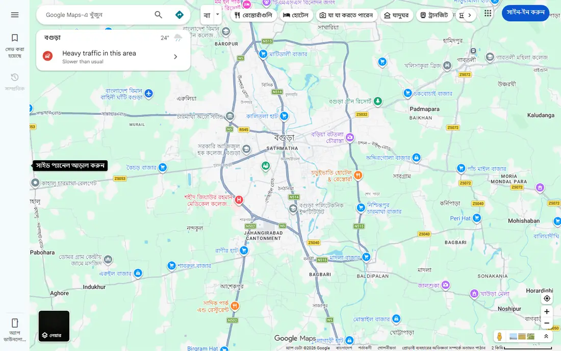
Google Maps is the default most readers should start with. It gives driving directions with live traffic, transit directions with departure times, walking routes, and biking routes in one app, and it works in nearly every US city. You can save home, work, and favorite places, share a live trip, and check business hours along a route.
The trade-off is depth. In cities where Citymapper operates, Citymapper gives richer transit detail, such as which train car to board and which station exit to use. Google Maps also depends on local transit data quality, so times can be less precise in smaller systems. Still, for a single app that handles most trips without a second download, Google Maps is the practical pick.
- Broad US transit and driving coverage
- Live traffic
- Walking and biking directions
- Transit detail is thinner than Citymapper in covered cities
- Features vary by city
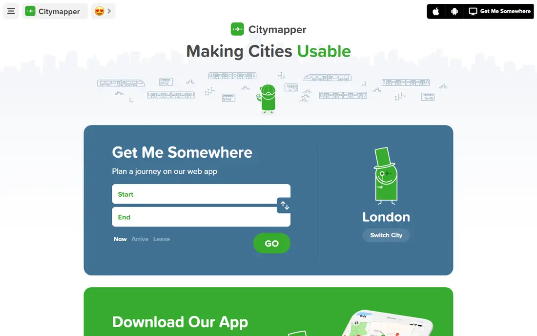
Citymapper is the most detailed transit planner in the cities it covers. A single trip can mix subway, bus, rail, ferry, bike share, scooter, and a ride, with real-time positions and clear step-by-step guidance. Its GO mode tells you when to leave, which stop to use, and which exit saves walking time at the other end.
Coverage is the catch. Citymapper lists about 31 US regions, so many readers will open it and find their city missing or only partly covered. Removing ads is listed at about 1.49 dollars per month in recent reviews. If your city is covered, Citymapper is worth using beside Google Maps. If it is not, Moovit or Transit will serve you better.
- Combines transit, bike share, scooters, and rides
- Step-by-step GO navigation
- Real-time departures
- Covers a limited set of US cities
- Some premium features need a subscription
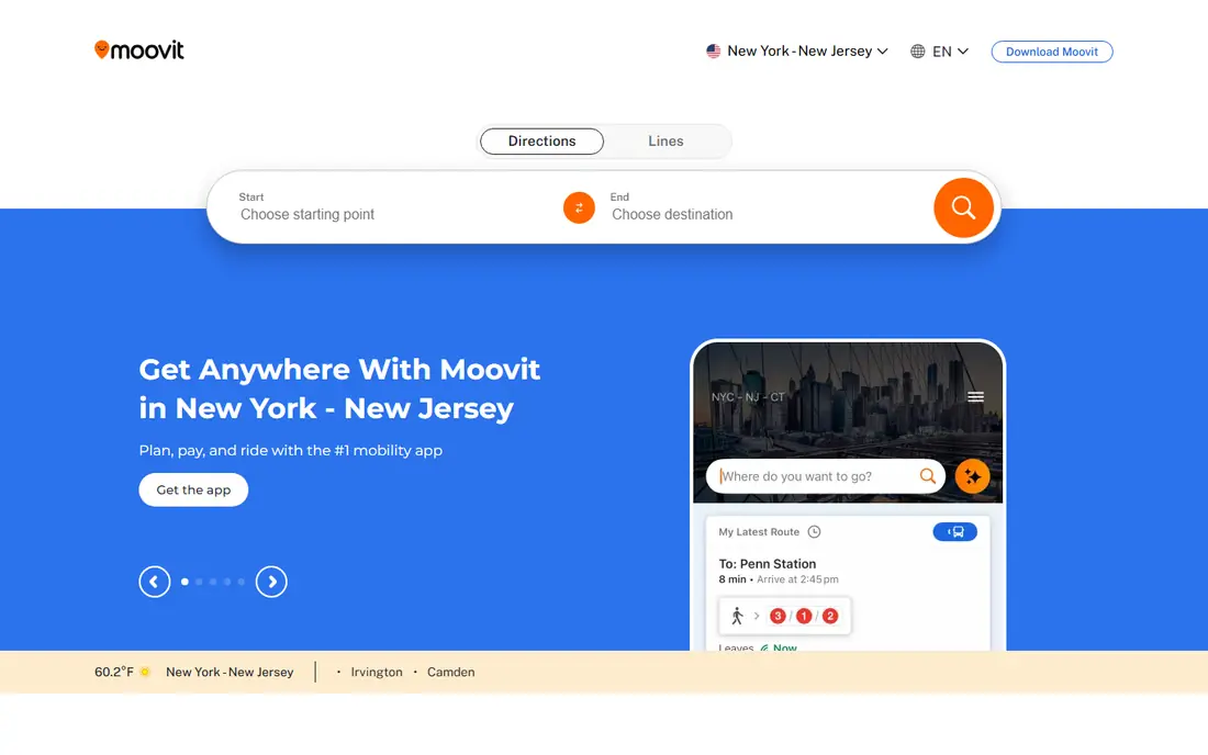
Moovit is the broadest transit app on this list, with coverage claimed in thousands of cities and support for many languages. It combines bus, subway, tram, train, bike, and ride options, gives real-time arrivals and service alerts, and lets you download maps for offline use in many major cities. That breadth makes it useful for travelers who visit new cities often.
Accuracy depends on the local data feed, so arrival times can be less precise in cities with weak live data. The app also packs many features into one screen, which can feel busy on a first use. For US readers, Moovit is a strong second app to check when Google Maps or Citymapper gives a thin result, and it is a strong first app for international travel.
- Covers thousands of cities
- Real-time arrivals and service alerts
- Offline maps in many cities
- Accuracy varies by city and data source
- Interface can feel busy
Transit focuses on one job: telling you when the next bus or train leaves, right now. Open it near a stop and you see live departures, vehicle locations reported by riders and agencies, and simple directions without extra taps. That speed matters when you are already standing at a stop and deciding whether to wait or walk.
Transit is less of a full trip planner than Citymapper, and its best features depend on local coverage and rider participation. In well-covered cities it is excellent as a daily companion to Google Maps. In thinly covered cities it may add little. Try it for a week on your regular commute before you pay for any extra features.
- Clean live departure view
- Crowdsourced vehicle locations
- Simple trip planning
- Coverage is city-dependent
- Some features need a subscription in supported cities
Uber is the most widely available ride app for most US readers. You see the fare estimate and wait time before you book, you pay in the app, and you can share trip details with a contact. Uber also offers scheduled rides, larger vehicles, and accessible ride options in many cities, which helps for airport trips and late-night travel.
The main limits are price and supply. Fares vary by distance, time, and demand, so the same trip can cost far more at peak times. Availability also varies outside major cities and late at night. Uber is not a transit planner, and it should not replace a bus or train when transit is fast and cheap. For trips where transit fails, Uber is the most reliable fallback.
- Wide city coverage
- Fare and wait shown before booking
- In-app payment and trip sharing
- Prices rise with demand
- Availability varies by city and time of day
Lyft covers the same core job as Uber, with a useful extra: in many cities the same app also shows shared bikes and scooters, so a short trip can switch from a car to a bike without a second app. Scheduled rides, ride sharing options where offered, and in-app payment make it practical for regular commuters and airport runs.
Lyft coverage is narrower than Uber in some smaller cities, and wait times can be longer at off-peak hours. Prices also vary with demand, so compare Uber and Lyft on the same trip before you book, especially for airport rides. If your city has Lyft bikes or scooters, the combined app is a real advantage for mixed trips.
- Ride booking plus bikes and scooters in many cities
- Scheduled rides
- In-app payment
- Coverage is narrower than Uber in some areas
- Prices vary with demand
Waze is the best free driving companion for commuters who drive. Drivers report traffic jams, hazards, road closures, and speed checks, and Waze reroutes around trouble quickly. It is free, it works across the US, and it pairs well with a car mount and a charging cable for longer drives.
Waze does not plan transit, walking, or biking trips, so it is a driving-only tool. It also uses more battery than a simple map app when it runs for hours. Use Waze for driving, Google Maps or a transit app for everything else, and check that Waze has the latest road data for your area before a long trip.
- Live driver reports on traffic, hazards, and police
- Fast rerouting
- Free
- Driving only
- No transit planning
- Battery use on long drives
Lime fills the gap between walking and a car ride. In cities where it operates, you open the app, find a nearby electric bike or scooter, start a ride on it, and ride to your stop or destination. That is ideal for the last part of a transit trip, for a short commute, or for a trip that is too far to walk and too short to justify a car.
The limits are local rules and supply. Lime only operates where cities allow it, vehicles cluster in busy zones, and pricing per minute or per ride can add up on longer trips. Check local helmet and parking rules, and park only in allowed spots. For short urban trips, Lime is faster and cheaper than a ride in traffic.
- Dockless bikes and scooters in many cities
- Pay per ride
- No car needed for short trips
- Availability is city and zone dependent
- Per-ride pricing adds up on long trips
SpotHero closes the loop for drivers. Instead of circling for street parking, you search by destination, compare nearby garage prices and hours, and book a spot in advance. The app shows the total price before you arrive, which helps for events, airports, and downtown trips where parking is scarce.
Coverage is strongest in larger cities and near event venues, so smaller towns may show few options. Garage height limits, entry hours, and cancellation rules still matter, so read the listing before you book. For drivers in busy cities, SpotHero saves more time than any transit app can, because parking is often the slowest part of the trip.
- Compare garage prices
- Book parking in advance
- Clear total price before arrival
- Coverage is strongest in larger cities
- Garage rules and hours still need checking
How we picked these
We compared official product pages, app store listings, and recent transit and navigation reviews, and we kept only apps that help a US reader get around in October 2026. We checked city coverage, the mix of transport modes, whether live data is offered, and whether pricing is clear. Ride and parking prices vary by city, time, and demand, so we wrote See website for those apps rather than quote a fare that would be wrong in most cities.
How to choose a mobility setup
Start with your most common trip. If you commute by transit, pick the planner with the best live data in your city, and test it for a week against your real departure times. If you drive, Waze plus SpotHero covers traffic and parking. If you mix modes, add Citymapper or Moovit for the transit leg and Lime for short hops.
Keep two apps, not six. A transit planner and a ride app cover most days, with a parking app added only if you drive downtown often. Check battery use, offline maps, and accessibility features before a trip to a new city, since step-free routes, audio guidance, and offline maps vary by app. Download offline maps for your destination when you travel, and save your hotel and return station as favorites before you leave.
Finally, compare the total trip, not just the fare. A cheap ride in traffic can take longer than a train plus a short scooter ride, and a free transit trip that leaves you walking far at night may not be the best choice. Time, cost, walking distance, and safety at night all belong in the decision.
Frequently asked questions
What is the best mobility app for public transit?
Citymapper is best where it covers your city, thanks to detailed multimodal trips. Moovit is best for wide coverage across many cities, and Transit is best for a quick live departure view. Test all three on your commute and keep the one with the most accurate times in your city.
What are the best mobility apps for getting around a new city?
Google Maps is the safest default, since it covers driving, transit, walking, and biking in most places. Add Moovit for transit depth and Uber or Lyft for rides when transit is slow. Download offline maps before you travel, since coverage and data can be weak underground or abroad.
Is Uber or Lyft better for daily rides?
Both vary by city, time, and demand, so compare the fare and wait time for the same trip before you book. Uber usually has wider coverage, while Lyft adds bikes and scooters in many cities. For regular trips, check scheduled ride options and any pass or subscription in your city.
Do mobility apps work for accessible travel?
Many transit apps show step-free routes and accessible stops, but coverage varies by city and data source. Check the accessibility settings in your chosen app, confirm step-free access at your specific stations, and have a ride app ready as a backup. Contact the local transit agency for the most reliable accessible route information.
How can I save money on mobility apps?
Use transit for regular trips, rides only when transit is slow or unavailable, and bikes or scooters for short trips. Compare ride fares across Uber and Lyft, book parking in advance with SpotHero where it operates, and check for transit passes or ride passes in your city. Walking the first or last short leg often saves a fare with little extra time.
Sources
See where you really rank - block by block
ProMapRanker scans Google Maps across a grid of your service area. Simple monthly plans from $19, white-label on every plan.
Start freeKeep reading
 zoro.to alternatives
Best Zoro.to Alternatives in 2026
We compare the best zoro.to alternatives in 2026, listing only legal licensed anime streaming services, from Crunchyroll to free options for fans today.
Read → zip alternatives
Best Zip Alternatives in 2026
We compare the best zip alternatives for buy now, pay later in 2026, covering pay-in-4 plans, fees, spending limits, and credit reporting options today.
Read → yesware alternatives
Best Yesware Alternatives in 2026
Compare the best yesware alternatives for sales email tracking, templates, and sequences, with current pricing and honest tradeoffs for small sales teams.
Read →