 ProMapRanker
Best Mapping Software in 2026

Key takeaways
- Mapping software splits into desktop GIS for analysis, web map platforms for apps and sites, and simple tools for quick visualizations, so start by naming your end product.
- ArcGIS Pro remains the enterprise standard for deep analysis, while QGIS gives you a complete desktop GIS for free.
- Mapbox and Google Maps Platform matter most when the map itself lives inside an app or website that customers use.
- CARTO suits cloud-based location analysis at scale, while Global Mapper suits teams drowning in file formats and terrain data.
- Usage-based pricing can surprise you, so check free-tier limits and rate controls before a public map launch.
Quick comparison
| Pick | Great for | Pricing starts at | Free tier | |
|---|---|---|---|---|
 ArcGIS Pro | Enterprise GIS analysis | See website | Free trial | Visit |
 QGIS | Free complete desktop GIS | Free | Yes | Visit |
 Mapbox | Custom maps in apps and sites | See website | Yes | Visit |
 CARTO | Cloud location intelligence | See website | Free trial | Visit |
 Google Earth Pro | Fast 3D visualization | Free | Yes | Visit |
 Global Mapper | Format and terrain work | See website | Free trial | Visit |
 MapInfo Pro | Business mapping for telecom and utilities | See website | Free trial | Visit |
 Maptitude | Affordable desktop mapping with data | See website | Free trial | Visit |
 Google Maps Platform | Places data and familiar maps | See website | Yes | Visit |
The best mapping software
The best mapping tool depends on whether you need to analyze spatial data, publish a map for customers, or simply visualize a spreadsheet of locations. Desktop GIS tools handle the first job, developer platforms handle the second, and simpler tools handle the third. The list below covers all three, so you can pick by output rather than by brand.
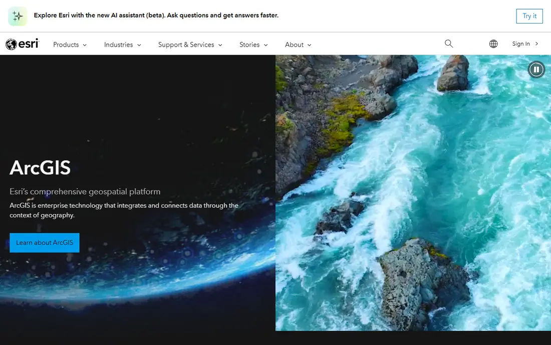
ArcGIS Pro is Esri's desktop GIS application and the standard in many government agencies, utilities, and large enterprises. It offers thousands of tools for spatial analysis, cartography, data management, and 3D visualization, plus Python scripting for repeatable workflows and integration with ArcGIS Online for sharing maps and data across an organization. When a project involves complex modeling, enterprise geodatabases, or formal map production, ArcGIS Pro is usually the tool teams already know.
That depth comes with cost and complexity. Licensing is quote-influenced and tiered, the interface takes real training to use well, and large raster or 3D projects need a capable PC. Smaller teams or occasional mappers may find QGIS covers their needs for free. Choose ArcGIS Pro when your organization already runs Esri infrastructure, or when the analysis itself, not just the map display, is the core deliverable.
- Deepest analysis, 3D, and geoprocessing toolset
- Strong ArcGIS Online integration
- Extensive training and documentation
- Licensing costs add up
- Steep learning curve
- Needs capable PC hardware for large projects
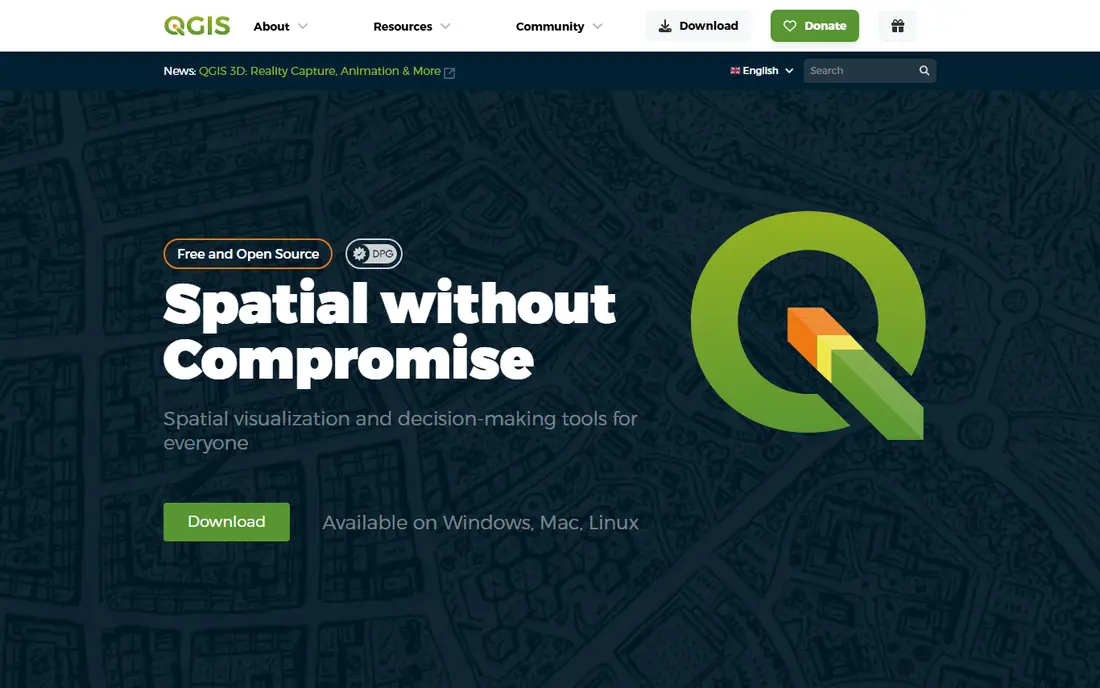
QGIS is the best free desktop GIS available, and for many users it removes any reason to pay for basic and intermediate mapping work. It handles vector and raster data, print-quality map layouts, database connections, and Python scripting, and its plugin library extends it into hydrology, network analysis, 3D views, and dozens of specialist tasks. Because it is open source, there is no license cost at any team size, which makes it ideal for nonprofits, schools, and small firms.
The trade-offs are polish and publishing. The interface can feel less consistent than ArcGIS Pro, because plugins vary in quality, and sharing maps online usually means exporting data to a web platform rather than publishing from inside QGIS. Support comes from community documentation and forums rather than a vendor help desk, though commercial support exists. If you need desktop analysis without a license bill, start with QGIS and only pay for a rival when a specific enterprise feature is missing.
- Free and open source
- Huge plugin library
- Supports nearly every spatial data format
- Runs on Windows, Mac, and Linux
- Interface can feel inconsistent
- Collaboration needs file sharing
- No built-in hosted web publishing
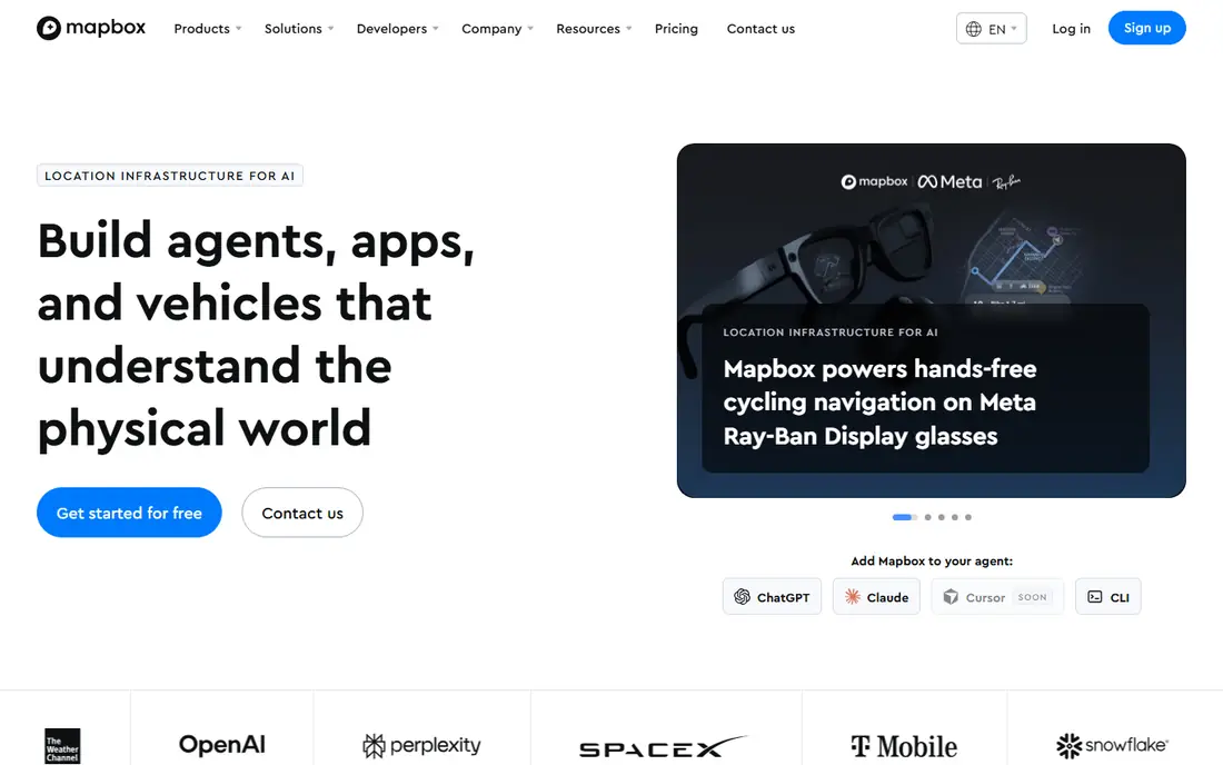
Mapbox is the developer favorite when the map must look and behave like part of your product, not like a generic embedded map. Its styling tools let you control colors, labels, and layers to match a brand, and its SDKs for web and mobile support navigation, search, and location features inside apps. A free tier covers small projects, which makes it easy to prototype before committing to paid usage.
Usage billing is the watch item. Map loads, tiles, and geocoding requests add up, and a misconfigured feature such as an autocomplete box can burn through an allowance quickly, so set usage caps and alerts before launch. Places coverage also differs from Google in some regions, so test search quality in your markets. Choose Mapbox when custom design and app integration matter more than using the map your users already recognize.
- Highly customizable map styles
- Strong developer tools and mobile SDKs
- Useful free tier for small projects
- Usage-based billing needs monitoring
- Places data is thinner than Google in some areas
- Design control takes developer time
CARTO is a cloud platform for teams that analyze location data at scale and turn the results into maps and dashboards for decision makers. It connects to cloud data warehouses, runs spatial analysis in the cloud rather than on a single desktop, and publishes interactive maps that non-technical colleagues can explore. Retail, logistics, telecom, and public sector teams use it to answer questions such as where demand clusters, which territories perform best, or how a network change affects coverage.
It is more platform than quick map maker. Pricing for larger use is quote-influenced, and getting full value often involves spatial SQL or data engineering skills, so small teams with a simple pin map may find it heavier than needed. Trial it with a real dataset and a real business question, and check how it connects to your warehouse before committing. For cloud location intelligence, CARTO is one of the strongest choices available.
- Cloud-native spatial analysis at scale
- Strong data visualization and dashboard tools
- Connects to cloud data warehouses
- Quote-influenced pricing for larger use
- Learning curve for spatial SQL
- Less suited to simple one-off maps
Google Earth Pro is the fastest way to explore geography in 3D and to show a location to someone who is not a GIS specialist. It is free, it opens quickly, and it lets you fly to places, measure distances and areas, create tours, and export images for presentations. Teachers, real estate professionals, journalists, and field teams often use it as a first look before opening a full GIS tool for deeper work.
It is not a replacement for ArcGIS Pro or QGIS. Analysis tools are limited, styling options are basic, and managing large datasets or producing formal cartographic output belongs in a GIS application. Use Google Earth Pro for visualization, site context, and quick communication, and move to a GIS tool when you need analysis, modeling, or publication-quality maps. For that visualization job, its speed and simplicity are hard to beat.
- Free
- Fast 3D globe visualization
- Easy measuring, touring, and image export
- Familiar interface
- Not a full GIS analysis tool
- Limited styling and data analysis
- Export and sharing options are basic
Global Mapper is the sleeper pick for teams that spend too much time converting files and wrestling with terrain data. It opens an unusually wide range of vector, raster, elevation, and LiDAR formats, and its terrain analysis, contouring, and volume tools suit surveying, forestry, mining, and environmental work. Many users keep it alongside a main GIS tool specifically for format conversion and terrain processing, where it saves hours per project.
The interface is functional rather than beautiful, and its finished map output is less polished than ArcGIS Pro for formal publication. The community is also smaller than QGIS or Esri, so tutorials take more searching. If your work involves many formats, elevation models, or LiDAR point clouds, Global Mapper earns its place. If you mainly need clean published maps, pair it with QGIS or ArcGIS for final output.
- Very broad file format support
- Strong terrain, LiDAR, and raster tools
- Relatively affordable for its depth
- Interface feels technical
- Cartographic output is less polished than ArcGIS
- Smaller community than QGIS or Esri
MapInfo Pro, from Precisely, has served business mapping for decades, especially in telecom, utilities, insurance, and retail, where territory design, site selection, and thematic maps drive decisions. Its thematic mapping tools turn spreadsheet data into clear shaded maps quickly, and its database connections let analysts work with customer and network data without constant exports. Teams in those sectors often have long institutional knowledge of MapInfo, which lowers training costs.
It is a desktop business mapping tool, not a web map platform, so publishing interactive customer-facing maps usually means exporting to another system. Pricing is quote-influenced and the workflow is Windows-focused, which may not suit Mac-based teams. Choose MapInfo Pro when your work centers on business territories, demographics, and thematic analysis in its core sectors, and you value a proven desktop tool over a cloud platform.
- Long record in telecom, utilities, and retail mapping
- Strong thematic mapping and territory tools
- Good database connectivity
- Quote-influenced pricing
- Windows-focused workflow
- Smaller developer ecosystem than web platforms
Maptitude is an affordable desktop mapping tool that bundles US demographic and geographic data with routing, territory, and thematic mapping features. That bundled data is its main advantage: small businesses, planners, and sales teams can map customers, draw territories, and plan routes without buying separate datasets or learning a full GIS platform. Licensing has often followed a one-time purchase model, though you should confirm current terms on the vendor site.
The interface looks dated next to modern web tools, and advanced spatial modeling is thinner than in ArcGIS Pro or QGIS. Its data strength is also US-centered, so international teams may need additional datasets. If you need practical business mapping on a desktop, with data included and without an enterprise budget, Maptitude is a sensible, low-friction choice.
- Includes demographic and geographic data for the US
- Affordable one-time style licensing in many cases
- Strong routing and territory tools
- Interface feels dated
- Less depth for advanced spatial modeling
- US data focus limits some international use
Google Maps Platform is the right pick when familiarity and places data matter most. Users already know how to read a Google map, and its places database, Street View imagery, and routing data are stronger than most rivals in many markets. Developers get APIs for maps, places, routes, and geocoding, and a monthly credit covers small projects, which makes it easy to start and test before paying at scale.
Costs need the same care as Mapbox. Usage-based billing means a popular app or a poorly cached feature can raise the bill fast, so set quotas, cache where allowed, and monitor usage from launch. Styling is also less flexible than Mapbox if brand-specific map design is central to your product. Choose Google Maps Platform when places data and user familiarity outweigh custom design, and set billing alerts before you go live.
- The map most users already know
- Strongest places, Street View, and routing data
- Monthly credit covers many small projects
- Usage-based billing needs monitoring
- Styling is less flexible than Mapbox
- Costs scale quickly at high volume
How we picked these
We compared desktop GIS tools, cloud location platforms, and developer map services on analysis depth, data format support, publishing options, pricing models, and fit for different outputs. We favored tools that are still supported in October 2026 and that serve a distinct job, from enterprise analysis to web publishing to quick visualization, rather than listing near-duplicates. Where pricing was quote-based or usage-based with changing tiers, we listed See website and flagged the need to check free-tier limits.
We did not claim hands-on testing we did not do. Our judgment rests on documented features, published pricing models, and public user feedback about learning curves and performance. Test any shortlisted tool with your own data, because format support, geocoding quality, and rendering speed vary by dataset and region in ways a feature list cannot show.
What to check before you choose
Name the end product first
A printed territory map, an interactive customer map, and a spatial model need different tools, and buying the wrong kind wastes money even if the software is good. Write down the deliverable, the audience, and the update frequency before shortlisting.
Test with your own data and region
Geocoding, places coverage, and format support vary by country and dataset, so a tool that shines in one region may struggle in another. Run a trial with a sample of your real data, including your messiest files, before committing.
Set billing controls before launch
For usage-based platforms, set daily caps, alerts, and quotas on day one, and cache map tiles and geocoding results where the terms allow. A public launch without controls is the most common cause of a surprise mapping bill.
Frequently asked questions
What is the best mapping tool for beginners?
QGIS is the best free starting point for learning GIS, because it is complete and costs nothing, though its interface takes some learning. Google Earth Pro is simpler if you only need visualization, and Maptitude is simpler if you need business mapping with US data included. Start with the simplest tool that produces your needed output, and move to ArcGIS Pro or CARTO only when analysis or scale demands it.
What is the best online mapping tool for websites and apps?
Mapbox is best when custom map design and app integration matter most, while Google Maps Platform is best when places data and user familiarity matter most. Both use usage-based pricing with a free tier or credit for small projects, so prototype with both and compare styling, search quality, and projected cost at your expected traffic. Set billing alerts before launch on either platform.
Is QGIS really a good alternative to ArcGIS?
Yes, for many desktop GIS jobs QGIS is a strong alternative to ArcGIS Pro, with broad format support, analysis tools, and a large plugin library, all for free. ArcGIS Pro still leads for enterprise geodatabases, formal map production at scale, and organizations already invested in Esri infrastructure. Choose QGIS when budget or openness matters most, and ArcGIS Pro when enterprise integration or the deepest analysis toolset is the priority.
What mapping software is best for business territories and sales maps?
Maptitude and MapInfo Pro are strong for business territories, with thematic mapping, demographic data, and territory tools built for sales and planning teams. CARTO suits larger firms that analyze territories in the cloud and share dashboards across teams. Pick a desktop tool for occasional territory work and a cloud platform when territories update often from warehouse data.
Do I need to pay for mapping software?
Not always. QGIS and Google Earth Pro are free and cover a large share of desktop mapping and visualization work, while Mapbox and Google Maps Platform offer free tiers or credits for small web projects. Paid tools earn their cost through enterprise integration, advanced analysis, support, bundled data, or high-volume publishing. Start free, and pay when a specific limit, such as support, scale, or bundled data, blocks your work.
Sources
See where you really rank - block by block
ProMapRanker scans Google Maps across a grid of your service area. Simple monthly plans from $19, white-label on every plan.
Start freeKeep reading
 who has the best home internet service
Who Has the Best Home Internet Service in 2026
Who has the best home internet service in 2026? Compare fiber, cable, and 5G providers on speed, price, data caps, and availability at your address today.
Read → visio alternatives
Best Visio Alternatives in 2026
Compare 9 Visio alternatives for flowcharts, org charts, and network diagrams, with free plans, pricing, and the best pick for teams and solo users in 2026.
Read → top 10 logistics software
Top 10 Logistics Software in 2026
We compared the top 10 logistics software tools for transport, warehousing, visibility and shipping, for shippers, carriers and 3PL teams in 2026 today.
Read →