 ProMapRanker
Best Map Drawing Software in 2026

Key takeaways
- QGIS is free and powerful for data-driven maps, while Google My Maps is the fastest free option for a simple shared map.
- Professional cartography and analysis need a tool such as ArcGIS or Mapbox Studio, not just a drawing surface.
- Check export and sharing options before starting, because a map that cannot leave the tool is of limited use.
- Simple sketch maps and serious geographic data maps are different jobs, and the best tool depends on which one you are doing.
Quick comparison
| Pick | Great for | Pricing starts at | Free tier | |
|---|---|---|---|---|
 QGIS | Free professional mapping | Free | Yes | Visit |
 ArcGIS Online | Professional GIS maps | See website | Free trial | Visit |
 Mapbox Studio | Custom styled web maps | See website | Yes | Visit |
 Google My Maps | Simple shared maps | Free | Yes | Visit |
 Scribble Maps | Quick sketch maps | See website | Yes | Visit |
 MapChart | Colour-in region maps | See website | Yes | Visit |
 Maptitude | Desktop mapping and analysis | See website | Free trial | Visit |
 CalTopo | Outdoor route maps | See website | Yes | Visit |
The best map drawing software
Map drawing software covers two very different needs: sketching a simple map for a presentation or trip, and building a data-driven map from geographic files. We compared official product pages and public documentation, and we favoured tools still sold and supported in October 2026 that let users draw, style, share or export a finished map.
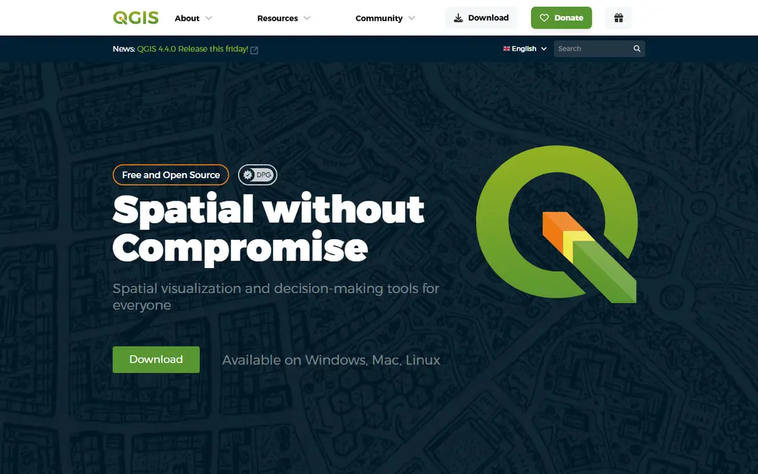
QGIS is the strongest free option for anyone who needs a real map, not just a sketch. It is an open source geographic information system that can load shapefiles, GeoJSON, raster imagery and database layers, style them by attribute, run spatial analysis and export print-ready maps. For a student, researcher, planner or small business with geographic data, it offers capability that once required an expensive licence.
The learning curve is real. Menus, projections and styling options assume some geographic knowledge, and a first map will take longer than in a simple web tool. Help comes from extensive documentation and a large community, but there is no vendor support desk unless a third party is paid. If the goal is a serious data map on a zero budget, QGIS is the clear starting point, and its only serious rival is a paid GIS platform.
- Full GIS capability at no cost
- Huge plugin range
- Supports many data formats
- Steep learning curve
- Interface can feel crowded
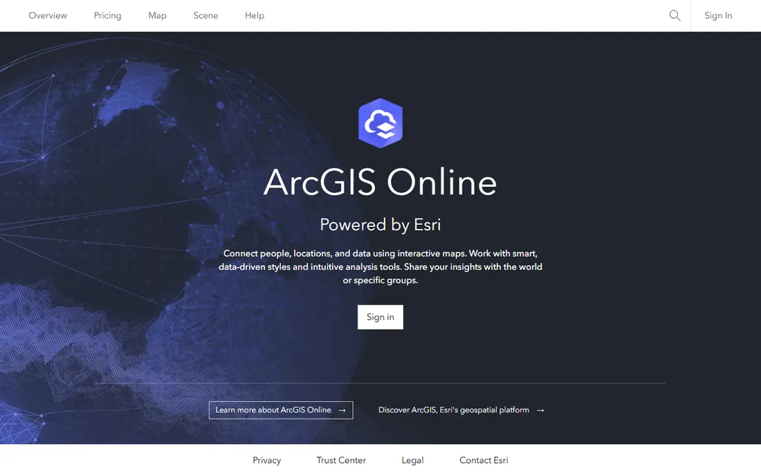
ArcGIS Online, from Esri, is the professional standard for web-based geographic work. Users can create maps from hosted layers, Esri data and their own files, style them, run analysis and share them as web maps, apps or story maps. For local government, utilities, environmental work and large organisations, the combination of reliable hosting, data libraries and analysis tools is hard to match.
Pricing is the main drawback for a casual user. ArcGIS Online uses credits and user types, and the full capability sits behind paid plans, so a small project should check the trial and pricing details before building a workflow around it. The web interface is also more structured than a sketch tool, which is a strength for data work and a weakness for a quick doodle. Choose ArcGIS when the map must be accurate, shareable and supported at organisational scale.
- Mature GIS tools and data
- Easy web sharing
- Strong analysis and story maps
- Pricing is complex
- Full power needs paid plans
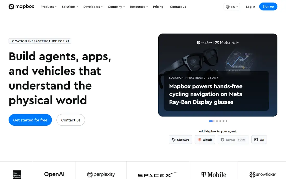
Mapbox Studio is for people who care how a web map looks and behaves. It lets designers control colours, labels, fonts and layer visibility in detail, then publish the style for use in a website or app through Mapbox tools. A travel site, delivery app or data dashboard can therefore use a map that matches its brand instead of a generic default style.
The catch is technical depth. Mapbox Studio is a design tool for web maps, not a simple drawing app, and usage-based pricing means a popular map can generate costs that a flat subscription would not. A free tier exists for getting started, but production use needs careful monitoring of map loads and tile requests. For a developer or designer building a public-facing map, the control is worth the learning effort.
- Precise visual styling
- Strong developer tools
- Fast web maps
- Needs some technical skill
- Usage-based pricing can surprise
Google My Maps is the fastest way to make a useful custom map. Sign in, add markers, draw lines and shapes, add notes and photos, then share a link or embed the map. It suits trip plans, event maps, delivery areas, school catchment sketches and any job where the audience just needs to see places on a familiar Google base map.
Limits appear quickly for professional work. Styling options are basic, data analysis is minimal, and large or complex datasets are better handled in QGIS or ArcGIS. There is also no offline desktop GIS workflow. For a simple shared map made in an afternoon, though, Google My Maps beats every other tool on speed and ease, and its free price makes it easy to recommend as a first try.
- Free and familiar
- Easy sharing
- Simple markers, lines and areas
- Limited styling
- Not a full GIS tool
Scribble Maps is built for drawing on a map without learning GIS. Users can add markers, lines, shapes, text and images, measure distance and area, and share or embed the result. It fits estate agents marking a neighbourhood, teachers planning a field trip, event organisers marking routes, and anyone who wants a marked-up map in minutes rather than a data project.
The free tier covers basic drawing, while paid plans add more features and remove limits, so check the current pricing page before relying on a specific export or collaboration feature. Scribble Maps will not replace QGIS for analysis, and it is not designed for huge geographic datasets. As a sketch and annotation tool, it is more capable than Google My Maps while remaining far simpler than a GIS platform.
- Fast drawing tools
- Measurement tools
- Easy sharing and embedding
- Free tier has limits
- Less suited to large datasets
MapChart does one job well: colouring regions on a ready-made map. Choose a world, country or US state map, colour each region, add a legend and labels, then download the result for a presentation, worksheet or social post. Teachers, students, analysts and content creators use it to show election results, travel visited, sales regions or survey data without drawing borders by hand.
The limit is baked into the design. MapChart works with predefined regions, so it cannot draw a custom route, a precise property boundary or a freehand area. Detailed editing and high-resolution exports may sit behind a paid option, so check the pricing page for the output size needed. For a clean coloured region map, it is faster and tidier than tracing borders in a general drawing app.
- Very easy region maps
- Good for presentations
- Many ready-made maps
- Limited to predefined regions
- Not for freehand drawing
Maptitude is a desktop mapping package for users who want GIS analysis without a subscription web platform. It covers map creation, demographic data, routing, territory design and site analysis, which suits sales planning, delivery territories, public health work and small planning teams. Working on the desktop also appeals to users who prefer local files and a single licence over cloud credits.
The interface feels dated compared with modern web tools, and the product is Windows-focused, which matters for Mac-only teams. Pricing is quote-based on the vendor site, with a free trial available, so confirm the current licence terms before buying. Maptitude suits a professional who wants analysis depth on the desktop and does not need a web map platform for every project.
- Desktop GIS with analysis
- Routing and territory tools
- One-time licence model reported
- Windows-focused
- Interface feels dated to some users
CalTopo began as a tool for outdoor route planning, and it remains excellent for that job. Hikers, search and rescue teams, land managers and outdoor educators can draw routes, measure distance and elevation, add markers and print maps with topographic and satellite layers. Its layer system lets a user combine terrain, land ownership, weather and other data in one view.
General-purpose map drawing is not its strength. A business map or a coloured region chart is better made elsewhere, and the most useful mobile offline features sit behind paid plans. A free tier exists for basic web use. For anyone whose map ends up on a trail, a mountainside or a printed field sheet, CalTopo is the most practical tool on this list.
- Strong outdoor layers
- Route planning and printing
- Offline mobile use on paid plans
- Outdoor focus limits general use
- Advanced features are paid
How we picked these
We compared official product pages and documentation, and we chose tools still available in October 2026 that cover the main map drawing jobs: professional GIS, web styling, simple sharing, sketching, region colouring, desktop analysis and outdoor routes. Where a vendor does not publish a clear starting price, we wrote See website rather than repeating an outdated figure. We also weighed export and sharing, because a map tool that locks a finished map inside one account is a poor choice for most users.
How to choose a map drawing tool
Start with the output. If the map will be printed, check print size, resolution and legend control. If it will be shared online, check whether viewers need an account and whether the map can be embedded. If it will be analysed, check which file formats the tool can import and export, such as GeoJSON, shapefile or KML.
Then test with a small real project before committing. Draw the exact route, region or dataset you need, export it, and show it to the intended audience. A tool that feels easy in a demo but cannot export the needed format will waste more time than a harder tool that can.
Frequently asked questions
What is the best free map drawing software?
QGIS is the best free tool for professional data maps, while Google My Maps is the best free tool for a simple shared map. The right free choice depends on whether you need geographic analysis or just markers and shapes on a familiar base map.
Can I draw on Google Maps?
Google My Maps lets you draw markers, lines and shapes on a Google base map and share the result. The main Google Maps app also allows saved places and lists, but custom drawing and layer control belong in My Maps.
What file format should I use for map data?
GeoJSON is a good general choice for web maps, shapefiles remain common in professional GIS, and KML works well for Google Earth and My Maps. Choose the format your audience and tools support, and keep an original copy before converting.
Do I need GIS software to make a simple map?
No, a simple map for a trip, event or presentation can be made in Google My Maps, Scribble Maps or MapChart. GIS software becomes necessary when the map needs accurate data layers, projections, analysis or large datasets.
Can I use these maps commercially?
In most cases, yes, subject to the base map and data licence for each tool. Check the terms for the base map, any third-party data layers and the export itself, especially for maps used in paid products or advertising.
Sources
See where you really rank - block by block
ProMapRanker scans Google Maps across a grid of your service area. Simple monthly plans from $19, white-label on every plan.
Start freeKeep reading
 what’s the best risk software for enterprises
What Is the Best Risk Software for Enterprises in 2026
We compared what’s the best risk software for enterprises on risk registers, controls, third-party risk, and reporting, with pricing notes for large teams.
Read → what's the best pam software for enterprises
What is the Best PAM Software for Enterprises in 2026
Find what's the best pam software for enterprises, with vaulting, session recording, just in time access and pricing compared for large enterprise IT teams.
Read → what’s the best grc software
What Is the Best GRC Software in 2026
We compared what’s the best grc software on risk, compliance, audit and vendor risk, so teams can pick a platform that fits their frameworks and budget.
Read →