 ProMapRanker
Best LiDAR Apps in 2026: 8 Apps Compared

Key takeaways
- Most LiDAR apps here need a LiDAR-equipped iPhone Pro or iPad Pro, generally iPhone 12 Pro or later, or iPad Pro from 2020 onward.
- Polycam is the best all-round start, while Scaniverse gives the most generous free on-device capture.
- magicplan is the best pick for floor plans and quotes, while SiteScape and Canvas suit building-scale and as-built work.
- Check export formats before you pay, since free tiers often limit the files you can take into CAD or 3D software.
Quick comparison
| Pick | Great for | Pricing starts at | Free tier | |
|---|---|---|---|---|
 Polycam | All-round room and object scans | $30 per month | Yes | Visit |
 Scaniverse | Free on-device capture | Free | Yes | Visit |
 magicplan | Floor plans and quotes | See website | Yes | Visit |
 Canvas | Done-for-you as-built models | See website | Yes | Visit |
 SiteScape | Building-scale point clouds | See website | Yes | Visit |
 3D Scanner App | Budget format flexibility | See website | Yes | Visit |
 Metaroom | Room capture with CAD review | See website | Yes | Visit |
 Pix4Dcatch | Survey-style site capture | See website | Yes | Visit |
The best LiDAR apps
LiDAR apps use depth data to build a 3D model of a room, object, or site, and the device you own decides which apps will work well. We compared official product pages, app store listings, and pricing pages, and we kept only apps that genuinely use LiDAR data or work with LiDAR-equipped devices. Each product below states plainly which devices it needs.
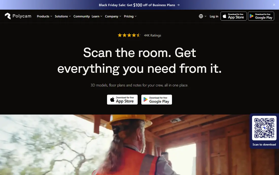
Polycam needs a LiDAR-equipped iPhone Pro or iPad Pro for its LiDAR room and space modes, while photo-based capture works on a wider range of iPhones, iPads, and Android phones. That split matters: if you own a Pro iPhone from iPhone 12 onward, you get fast, real-time room capture. If you do not, you can still scan objects with photos, but you will not get the same LiDAR speed.
The app itself is polished, with floor plans, measurements, and web sharing that suit interior designers and construction teams. The free plan is the limit to watch, since it caps photogrammetry captures and exports to glTF only, while paid plans from $30 per month or $150 per year add more formats. For most users, Polycam is still the best first install, provided you check the export you need before you scan a whole project.
- LiDAR, photo and splat capture in one app
- Floor plans and measurements
- Web sharing and team libraries on paid plans
- Free plan limits captures and exports to glTF only
- Most export formats need a paid plan
- Android LiDAR-style modes are more limited
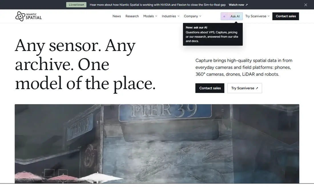
Scaniverse, from Niantic Spatial, needs a LiDAR-equipped iPhone Pro or iPad Pro for LiDAR capture, while photo-based capture works on other iPhones and on Android. Its classic on-device mode is the reason many beginners start here: you can capture a room or object, see the result in moments, and export a mesh or splat without paying. That free path is more generous than Polycam's for casual use.
The newer cloud workflow changes the picture, since it runs on credits, with a free monthly credit allowance and paid Plus and Pro plans at $20 and $50 per month. Commercial use also needs the Pro plan. If you stick to classic on-device capture for personal or test work, Scaniverse is excellent. If you need cloud processing or commercial rights, check the paid tiers first.
- Free on-device LiDAR and splat capture
- Fast results without a cloud queue
- Mesh and splat exports on the free classic mode
- Newer cloud workflow uses credits
- Commercial rights need the Pro plan
- 360-degree capture features need paid tiers
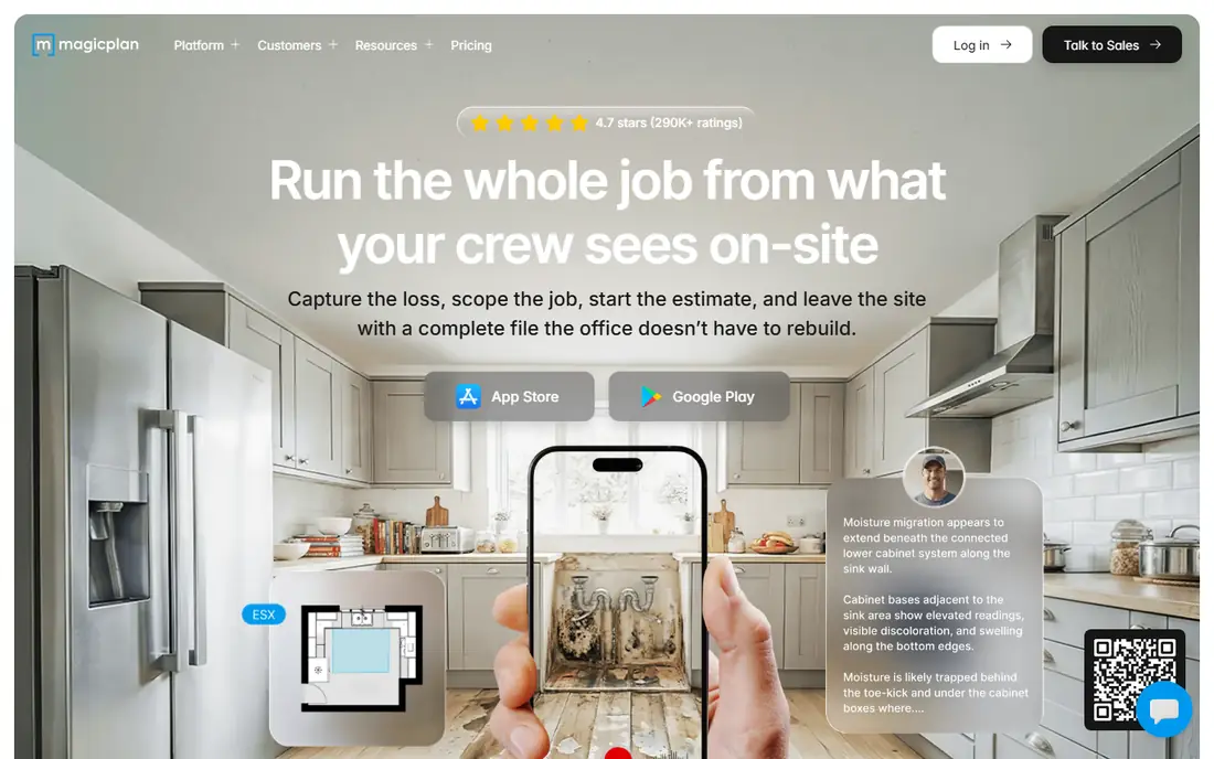
magicplan needs a LiDAR-equipped iPhone Pro or iPad Pro for its LiDAR-based room capture, while other capture tools on the app work on a wider range of iOS and Android devices. Its strength is not raw 3D modeling, but turning a scan into a usable floor plan with measurements, photos, and notes for a quote or report. Contractors, insurers, and designers use it to document a space and move straight to pricing.
The trade-off is that the most useful exports and report features sit on paid plans, and pricing depends on project allotments, so we list it as See website rather than guessing a single figure. If your goal is a clean floor plan and a professional report, magicplan is the most direct tool here. If your goal is a detailed 3D mesh for a game engine, Polycam or Scaniverse will serve you better.
- Fast floor plans from room scans
- PDF and CAD-style exports for quotes
- Field documentation and estimate tools
- Best LiDAR capture needs a LiDAR iPhone or iPad Pro
- Some exports and reports need a paid plan
- Pricing varies by project allotment
Canvas needs a LiDAR-equipped iPhone Pro or iPad Pro, since it is built around iOS LiDAR capture. You scan a room with your phone, then Canvas's service can convert that scan into a measured CAD model for Revit, SketchUp, AutoCAD, or PDF. For renovation and design professionals who need a usable as-built model without doing the CAD work themselves, that service is the main selling point.
The cost structure is the catch. Capture itself is free to try, but finished CAD deliverables are paid, so check the current service price before you scan a large project. Canvas is also not the best pick for casual object scans or hobby use. For professional as-builts, though, its scan-to-CAD path is one of the clearest on this list.
- LiDAR capture plus a service that converts scans to CAD models
- Exports for Revit, SketchUp and AutoCAD
- Suits renovation professionals
- Needs a LiDAR-equipped iPhone Pro or iPad Pro
- Finished CAD models are a paid service
- Less suited to casual object scanning
SiteScape needs a LiDAR-equipped iPhone Pro or iPad Pro, and it is iOS-only for capture. It is built for building-scale work, where many scans are stitched into a single point cloud for BIM and survey workflows. Exports in RCP, E57, and PLY formats suit teams that already use Revit or point-cloud software.
The limit is focus. SiteScape is not a casual object scanner, and its pricing is not a simple published plan, so teams should confirm cost during evaluation. For architects, surveyors, and facility teams who need dense, accurate point clouds from a phone, it is one of the strongest tools here.
- LiDAR-only capture for dense point clouds
- Multi-scan stitching for larger spaces
- Exports in RCP, E57 and PLY formats
- Needs a LiDAR-equipped iPhone Pro or iPad Pro
- IOS only for capture
- Pricing is not published as a simple plan
3D Scanner App needs a LiDAR-equipped iPhone Pro or iPad Pro for its LiDAR mode, with photo capture available on other iOS devices. Its appeal is format flexibility at a lower cost than many pro tools: exports include OBJ, USDZ, FBX, LAS, E57, and PTS, which cover meshes and point clouds for different software. Users who need a specific file type without a large subscription often start here.
The interface is more technical than Polycam or Scaniverse, so beginners may need time to learn its settings. It is also iOS only, which rules out Android users. For iPhone Pro owners who want broad export options on a budget, it is a practical and honest choice.
- LiDAR and photo capture on iOS
- Wide export formats including OBJ, USDZ, LAS and E57
- Lower-cost route to point-cloud files
- Needs a LiDAR-equipped iPhone Pro or iPad Pro for LiDAR mode
- IOS only
- Interface is more technical than Polycam
Metaroom needs a LiDAR-equipped iPhone Pro or iPad Pro for room capture, and it pairs that capture with a web workspace where scans can be reviewed and exported. Property professionals, designers, and facility teams can capture a space on site, then work with the model and CAD outputs in the workspace rather than only on the phone.
The catch is that workspace exports depend on a trial or subscription, so the free download alone does not guarantee every output. Metaroom also has a smaller community than Polycam, which can matter for tutorials and support. For teams that want a workspace-based review step after capture, it is worth testing alongside Canvas.
- LiDAR room capture with workspace review
- CAD and model exports from the workspace
- Suits property and design teams
- Needs a LiDAR-equipped iPhone Pro or iPad Pro
- Workspace exports depend on trial or subscription
- Smaller user community than Polycam
Pix4Dcatch needs a compatible iOS device, and LiDAR-equipped iPhone Pro or iPad Pro models give it depth data for capture, while AR guidance helps users walk a site in a structured way. It is designed for survey-style work, where captures feed into Pix4D cloud processing for models, measurements, and maps. With RTK hardware on Pro tiers, accuracy can be pushed higher for professional site work.
The downside is cost and complexity. Pix4Dcatch is bundled with Pix4D subscriptions or hardware kits, so pricing is not a simple app purchase, and survey workflows take time to learn. For casual room scans, Polycam or Scaniverse are simpler. For site documentation that must feed a survey workflow, Pix4Dcatch is the most professional option here.
- AR-guided capture for sites and structures
- Works with Pix4D cloud processing
- RTK support on Pro tiers with hardware for higher accuracy
- Needs a compatible iOS device, with LiDAR on Pro models for depth capture
- Pricing is bundled with Pix4D plans
- Learning curve for survey workflows
How we picked these
We compared official product pages, app store listings, and pricing pages, and we kept only apps that use LiDAR data or work with LiDAR-equipped devices. We favored apps with a working free tier or trial, clear export formats, and a current iOS app in October 2026. Prices are listed as See website where vendors bundle pricing with services or subscriptions, rather than repeating a single figure that may not cover the export you need.
What to check before you scan a real project
Check your device first, since that decides everything else. LiDAR capture needs a Pro iPhone from iPhone 12 onward or an iPad Pro from 2020 onward, while standard iPhones without LiDAR must rely on photo-based capture. Scan a test room, export the file, and open it in the software you plan to use, whether that is a CAD tool, a game engine, or a simple 3D viewer. A scan that looks good on your phone is only useful if the export opens cleanly where you need it.
Also plan for light and surfaces. Bright sunlight, mirrors, glass, and dark, textureless walls can all reduce scan quality, and large spaces take longer to capture well than a single room. Walk slowly, overlap your passes, and rescan any area that looks thin or noisy. A short test with your real device and your real export will save more time than any feature comparison.
Frequently asked questions
Which iPhones have LiDAR?
LiDAR is found on Pro and Pro Max iPhones from iPhone 12 onward, plus iPad Pro models from 2020 onward. Standard iPhones without LiDAR can still use photo-based capture in apps such as Polycam and Scaniverse, but they will not get true LiDAR depth capture.
Can Android phones use LiDAR apps?
Most Android phones do not have an Apple-style LiDAR scanner, though some use depth sensors or ARCore depth tools. Polycam and Scaniverse offer photo-based capture on Android, while LiDAR-specific apps such as SiteScape and Canvas are iOS only for capture.
What is the best free LiDAR app?
Scaniverse offers the most generous free on-device capture, with mesh and splat exports in its classic mode. Polycam is also free to try, but its free exports are limited to glTF, so check the export you need before you choose.
Are phone LiDAR scans accurate enough for CAD work?
Phone LiDAR scans suit renovation, design, and documentation work, but they are not a replacement for survey-grade equipment on projects that need tight tolerances. Always measure a known distance in your scan and compare it with a tape measure before you rely on the model.
Do I need a subscription to export a scan?
It depends on the app and the format. Scaniverse's classic mode exports meshes for free, while Polycam and magicplan reserve many formats for paid plans, and Canvas charges for finished CAD models as a service. Check export terms before you scan a large project.
Can I scan outdoors with a phone LiDAR app?
Yes, for small outdoor areas and objects, but phone LiDAR range is limited and bright sunlight can affect depth sensing. For large sites, a dedicated scanner or a drone workflow will give better coverage than a phone alone.
Sources
See where you really rank - block by block
ProMapRanker scans Google Maps across a grid of your service area. Simple monthly plans from $19, white-label on every plan.
Start freeKeep reading
 zyte alternatives
Best Zyte Alternatives in 2026
These zyte alternatives cover managed scraping APIs, proxy networks and no code tools for lawful collection from your own or consented sources only in 2026.
Read → zerto alternatives
Best Zerto Alternatives in 2026
Compare the best zerto alternatives for disaster recovery and replication, with recovery targets, cloud options and honest trade-offs for teams in 2026.
Read → zerofox alternatives
Best ZeroFox Alternatives in 2026
We compared 9 zerofox alternatives for brand protection, phishing takedowns, dark web monitoring, and social impersonation, with clear coverage notes.
Read →