 ProMapRanker
Best GIS Software in 2026: 9 Tools Compared

Key takeaways
- ArcGIS Pro remains the commercial standard for enterprise analysis, while QGIS covers most desktop workflows for free.
- Global Mapper stands out for format conversion, terrain work, and LiDAR processing at a clear annual price.
- CARTO and Mapbox suit cloud and app-based mapping, while GRASS GIS suits analysts who need deep raster analysis.
- Google Earth Pro and Maptitude are useful for fast visualization and affordable desktop mapping with included data.
Quick comparison
| Pick | Great for | Pricing starts at | Free tier | |
|---|---|---|---|---|
 ArcGIS Pro | Enterprise GIS teams | See website | Free trial | Visit |
 QGIS | Complete GIS for free | Free | Yes | Visit |
 MapInfo Pro | Business mapping | See website | Free trial | Visit |
 Global Mapper | Terrain and LiDAR work | $599 per year | Free trial | Visit |
 CARTO | Cloud location intelligence | See website | Free trial | Visit |
 Mapbox | Custom maps in apps | See website | Yes | Visit |
 GRASS GIS | Raster analysis and modeling | Free | Yes | Visit |
 Google Earth Pro | Fast 3D visualization | Free | Yes | Visit |
 Maptitude | Affordable desktop mapping | See website | Free trial | Visit |
The best gis software
We compared official pricing pages, feature documentation, and plan details for GIS tools that cover desktop analysis, web mapping, and location intelligence. Our pick for most users is QGIS for value, with ArcGIS Pro as the enterprise standard.
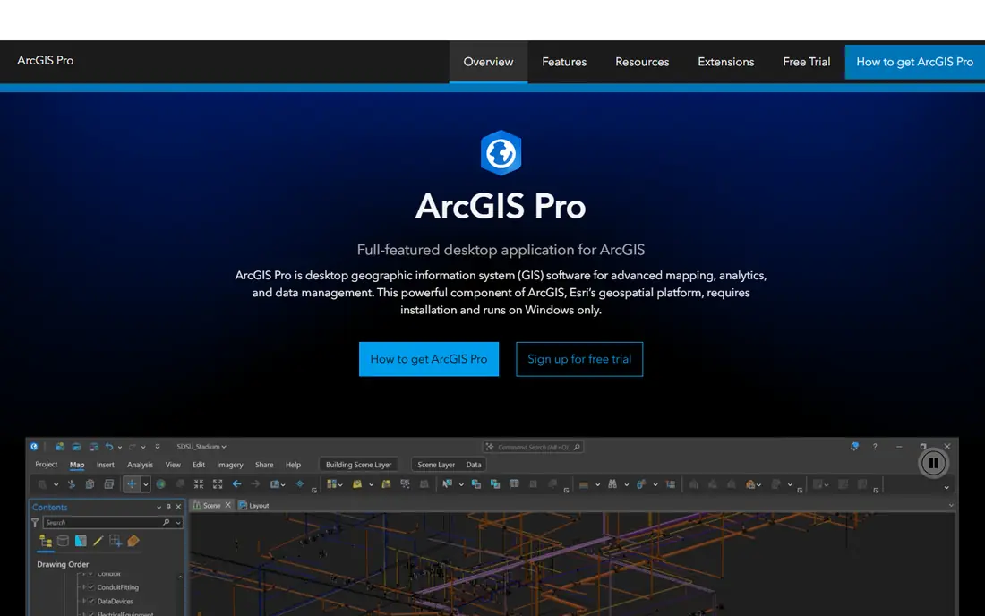
ArcGIS Pro is the commercial standard that other desktop GIS tools are measured against. Spatial analysis, 3D scenes, imagery classification, and network analysis live in one application, and organizations already on the Esri stack get sharing through ArcGIS Online and Enterprise that smaller tools cannot match. Government agencies, utilities, and large consultancies standardize on it because support, training, and hiring all exist at scale.
Cost is the real conversation. Commercial licenses run per user per year, and the extensions that enable advanced analysis are licensed separately, so the headline price and the real price differ. A personal-use license exists at a much lower price for learning and non-commercial work. Buy ArcGIS Pro when analysis depth or existing Esri infrastructure justifies the budget.
- Deepest analytical toolbox in this category
- Strong 3D and imagery workflows
- Full ArcGIS Online and Enterprise integration
- Commercial licensing is expensive and tiered
- Windows-only desktop app
- Extensions are licensed separately
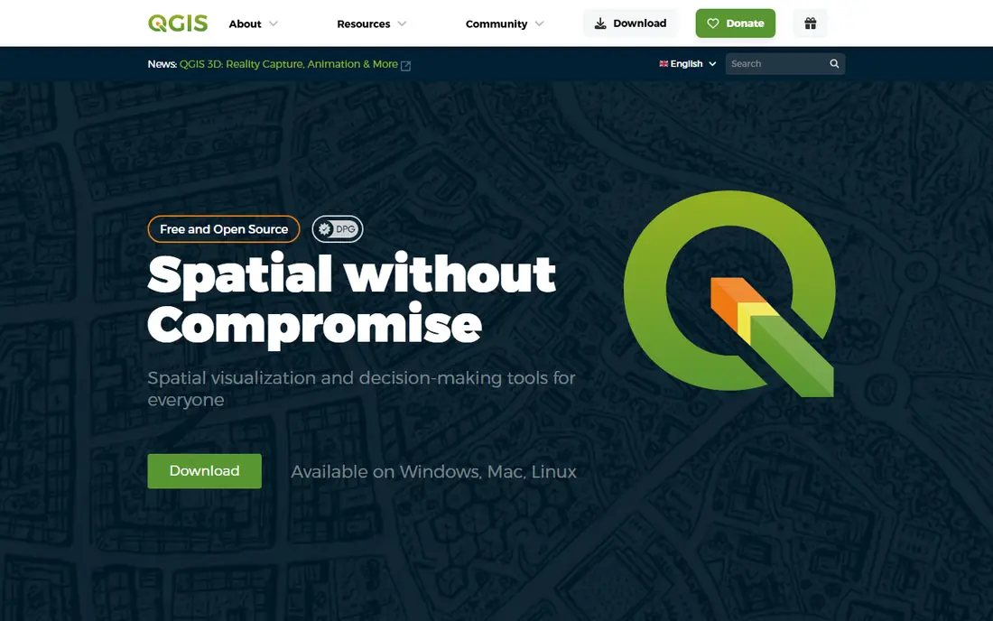
QGIS is the best free GIS software available, and for many analysts it is all they need. It handles vector and raster data, spatial analysis, cartography, and database connections, and plug-ins extend it into areas like GRASS analysis and web publishing. Because it runs on all major operating systems, it also suits mixed teams and classrooms.
Support works differently from a commercial product. Help comes from community forums and documentation, with paid support available from third-party partners rather than a single vendor. That trade is easy to accept given the price. Learn QGIS first if you are starting out, since the GIS concepts transfer directly to ArcGIS Pro later.
- Free and open source
- Runs on Windows, Mac, and Linux
- Huge plug-in library and community tutorials
- No vendor support contract included
- Interface is less polished than ArcGIS Pro
- Some enterprise workflows need extra setup
MapInfo Pro has long served business mapping in telecom, utilities, insurance, and retail. Thematic maps, drive-time analysis, and site selection tools are accessible to analysts who are not full-time GIS specialists, and data handling suits business datasets well. For a company that maps customers, stores, or networks, that business focus matters.
The community is smaller than the QGIS or Esri worlds, so tutorials and plug-ins are fewer. Pricing is also less transparent than a published self-serve page. MapInfo Pro fits organizations with a business-mapping use case and an existing Precisely workflow, rather than general analysts seeking the widest community.
- Strong for telecom, utilities, and retail site analysis
- Polished thematic mapping
- Good data handling for business users
- Quoted or tiered pricing is less transparent
- Smaller analyst community than QGIS or ArcGIS
- Windows focused
Global Mapper earns its place through format conversion and terrain work. It reads an unusually wide range of vector, raster, elevation, and point cloud formats, and its terrain analysis, volume calculation, and LiDAR processing tools suit surveyors, engineers, and drone operators. Scripting lets teams repeat the same processing steps reliably across projects.
Tiers matter here. The Essentials plan covers viewing, conversion, and basic mapping, while Advanced and Professional add terrain analysis, scripting depth, LiDAR processing, and photogrammetry. Price the tier that matches your data types, since buying Essentials for LiDAR work will disappoint.
- Extremely broad format support
- Strong terrain, volume, and LiDAR tools
- Scripting for repeatable workflows
- Interface is functional rather than polished
- Advanced LiDAR and photogrammetry need higher tiers
- Cartography is lighter than ArcGIS
CARTO is built for teams that analyze location data in the cloud rather than on a single desktop. It connects to cloud data warehouses, runs spatial analysis at scale, and publishes interactive maps and dashboards for decision makers. For companies with large customer, store, or movement datasets, that cloud workflow beats passing desktop files around.
Desktop editing and deep cartographic control are lighter than ArcGIS Pro or QGIS, and pricing for production use requires a conversation with sales. CARTO fits data teams and location-intelligence projects where scale, sharing, and warehouse integration matter more than desktop editing depth.
- Cloud-native spatial analysis at scale
- Strong data visualization and sharing
- Integrations with cloud warehouses
- Pricing is quoted for larger use
- Desktop-style editing is lighter than QGIS or ArcGIS
- Learning curve for spatial SQL
Mapbox is the developer choice for embedding custom maps in apps and websites. Its styling tools, APIs, and SDKs let product teams build maps that match their brand and show exactly the data their users need, from delivery tracking to store locators. Documentation and developer tooling are strong, which shortens integration time.
Mapbox is not a desktop GIS for analysis. It excels at presentation and location services, while heavy spatial analysis still belongs in QGIS, ArcGIS, or a cloud warehouse. Usage-based pricing also means costs grow with map loads and API calls, so monitor usage once an app ships.
- Highly customizable maps for apps and websites
- Strong developer tools and documentation
- Usage-based free tier
- Usage-based pricing can rise with traffic
- Not a desktop analysis tool
- Map design takes developer effort
GRASS GIS is the research-grade option for raster analysis, hydrological modeling, and geospatial statistics. It has been developed for decades, and its toolset covers terrain analysis, image processing, and modeling in depth. Many QGIS users run GRASS tools through QGIS without realizing it, since QGIS integrates GRASS processing.
The standalone interface is less welcoming than QGIS, and new users should expect a learning curve. GRASS fits analysts, researchers, and students who need modeling depth and are comfortable with a technical workflow. For everyday mapping and cartography, QGIS is the friendlier front end.
- Free and open source
- Deep raster and geospatial modeling tools
- Long academic and research track record
- Interface is less friendly than QGIS
- Setup and learning curve are steeper
- Visualization is functional rather than polished
Google Earth Pro is the fastest way to explore a place in 3D and share that view with someone who does not use GIS. You can measure distances and areas, import common data formats, and create tours and place collections that clients and colleagues can open without training. For site visits, presentations, and quick checks, it is genuinely useful.
It is not a substitute for a full GIS. Spatial analysis, projection control, and data editing are limited, and serious projects will still need QGIS or ArcGIS Pro. Use Google Earth Pro as a visualization and communication companion to your main GIS, not as the analysis tool itself.
- Free
- Fast 3D globe visualization
- Easy to share places and measurements with non-specialists
- Not a full GIS for analysis
- Limited data editing and projection control
- Depends on Google imagery and services
Maptitude is a practical desktop mapping tool for businesses that need maps with data included, without enterprise pricing. It bundles demographic and geographic data, covers territory management, routing, and site analysis, and remains usable for staff without formal GIS training. Small businesses and local government teams often find it covers their mapping needs well.
Analysis depth and community resources are below the leaders, and data freshness depends on the version you buy. Maptitude fits organizations that want an affordable, self-contained desktop mapper for business decisions, rather than a research or enterprise analysis platform.
- Affordable desktop GIS with included data
- Good for sales territories and site analysis
- Usable without GIS training
- Analysis depth is below ArcGIS Pro and QGIS plug-ins
- Smaller community
- Data updates depend on version
How we picked these
We compared official pricing pages, feature documentation, and plan details for GIS tools that are live in October 2026 and that cover distinct jobs: desktop analysis, business mapping, terrain and LiDAR work, cloud intelligence, and app embedding. We favored tools with clear data-format support and realistic pricing, and we list See website where vendor pricing is quoted or tiered rather than repeating a figure we could not verify firmly.
What to check before you buy
Start with your data and your output. If you work with LiDAR, terrain, or dozens of formats, Global Mapper or ArcGIS Pro will save conversion pain. If you publish web maps or embed maps in an app, CARTO or Mapbox fit better than a desktop tool. If budget is the constraint, QGIS plus GRASS covers most analysis for free.
Test with your own datasets, not sample data. Projection handling, file sizes, and rendering speed vary by tool, and a trial on a small sample can hide problems that appear with production data. Also check operating system support, since ArcGIS Pro and some business tools are Windows focused, while QGIS and GRASS run across platforms.
Frequently asked questions
What is the best GIS software?
ArcGIS Pro is the best choice for enterprise analysis and organizations already on the Esri platform, while QGIS is the best free option and covers most desktop workflows. The right pick depends on budget, analysis depth, and whether you need cloud or app-based mapping.
What is the best GIS mapping software for beginners?
QGIS is the best free starting point because it is complete, runs on all major systems, and has many free tutorials. Google Earth Pro is even simpler for visualization, but it does not replace a full GIS for analysis.
Is QGIS really free?
Yes. QGIS is free and open source software, with no license fee for commercial or personal use. Support comes from the community and documentation, with paid support available from third-party partners if you need it.
What is the best software for GIS mapping at scale?
CARTO suits cloud-based location intelligence at scale, especially when data lives in a cloud warehouse. Mapbox suits custom maps embedded in apps and websites, while ArcGIS Enterprise suits large organizations that standardize on Esri.
Can I use GIS software for LiDAR data?
Yes. Global Mapper offers strong LiDAR processing on its higher tiers, and ArcGIS Pro and QGIS with plug-ins also handle point cloud data. Check tier limits, since LiDAR tools often sit above entry plans.
What is the difference between ArcGIS Pro and ArcGIS Online?
ArcGIS Pro is the desktop application for analysis, editing, and cartography, while ArcGIS Online is the cloud platform for sharing maps, apps, and data. Most Esri organizations use both together, with Pro for production work and Online for sharing.
Sources
- https://www.esri.com/en-us/arcgis/products/arcgis-pro/pricing
- https://qgis.org/en/site
- https://www.precisely.com/product/precisely-mapinfo-pro
- https://www.bluemarblegeo.com/global-mapper/pricing
- https://carto.com/pricing
- https://www.mapbox.com/pricing
- https://grass.osgeo.org
- https://earth.google.com
- https://www.caliper.com/maptitude
See where you really rank - block by block
ProMapRanker scans Google Maps across a grid of your service area. Simple monthly plans from $19, white-label on every plan.
Start freeKeep reading
 zoho inventory alternatives
6 Alternatives to Zoho Inventory, Compared on Price and Fit
Zoho Inventory alternatives: 6 tools compared on price, free plans and fit. Katana leads the list for manufacturers. Fit and flaws are laid out for each entry.
Read → zoho crm alternatives
Best Zoho CRM Alternatives (2026)
Need Zoho CRM alternatives? We compare 7 tools on cost, free access and who each suits. Every pick gets a straight assessment. Built for quick decisions.
Read → zelle alternatives
Best Zelle Alternatives in 2026
Compare the best Zelle alternatives for sending money to friends, paying sellers and moving funds abroad, with honest notes on fees, speed and safety in 2026.
Read →