 ProMapRanker
8 Strong Geo Tools in 2026

Direct answer
Our first pick is QGIS, best for free desktop GIS. HERE is the stronger choice for logistics and automotive maps, while Mapbox suits custom interactive maps. Prices, free plans and limits for all 8 tools follow.
Key takeaways
- QGIS is the opening pick, best for free desktop GIS.
- The main caution on HERE: pricing is quoted for numerous uses.
- Expect to ask for a quote from HERE, MapTiler and Esri ArcGIS; the other tools show a starting price.
- Free plans are common here: 8 of 8 tools have one, including QGIS, HERE, Mapbox and Google Maps Platform.
Quick comparison
| Pick | Great for | Pricing starts at | Free tier | |
|---|---|---|---|---|
 QGIS | Free desktop GIS | Free | Yes | Visit |
 HERE | Logistics and automotive maps | See website | Yes | Visit |
 Mapbox | Custom interactive maps | Free tier | Yes | Visit |
 Google Maps Platform | Familiar maps and places | Pay as you go | Yes | Visit |
 MapTiler | Low-cost basemaps | See website | Yes | Visit |
 OpenStreetMap | Free community map data | Free | Yes | Visit |
 Geoapify | Geocoding and map APIs | Free tier | Yes | Visit |
 Esri ArcGIS | Enterprise GIS analysis | See website | Yes | Visit |
8 geo tools in detail
Choosing geo tools usually comes down to price, fit and limits. This ProMapRanker guide sets 8 tools side by side on those three points, with the facts kept short and checkable.
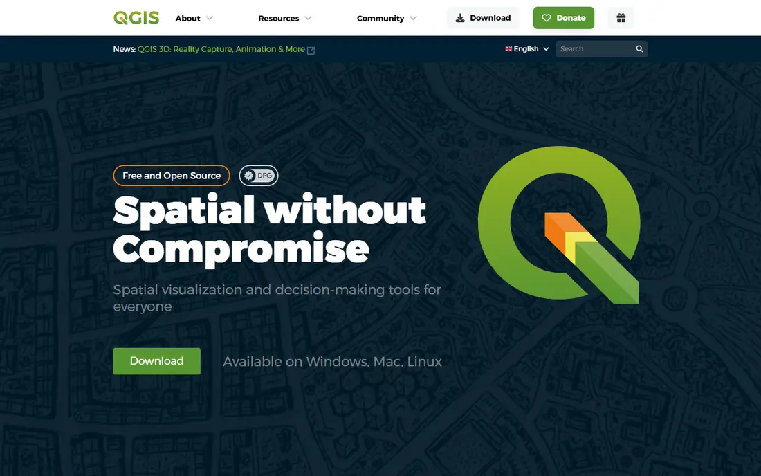
QGIS targets free desktop GIS. It supports numerous vector and raster formats, provides geoprocessing tools, and gains additional features through plugins.
Where it is weaker: Desktop only; Support comes from community and premium providers.
The interface takes time to learn, and support comes chiefly from community docs and premium providers. Starting cost for QGIS: Free. You can start on QGIS without paying.
- Free and open source
- Solid desktop analysis tools
- Interface takes learning
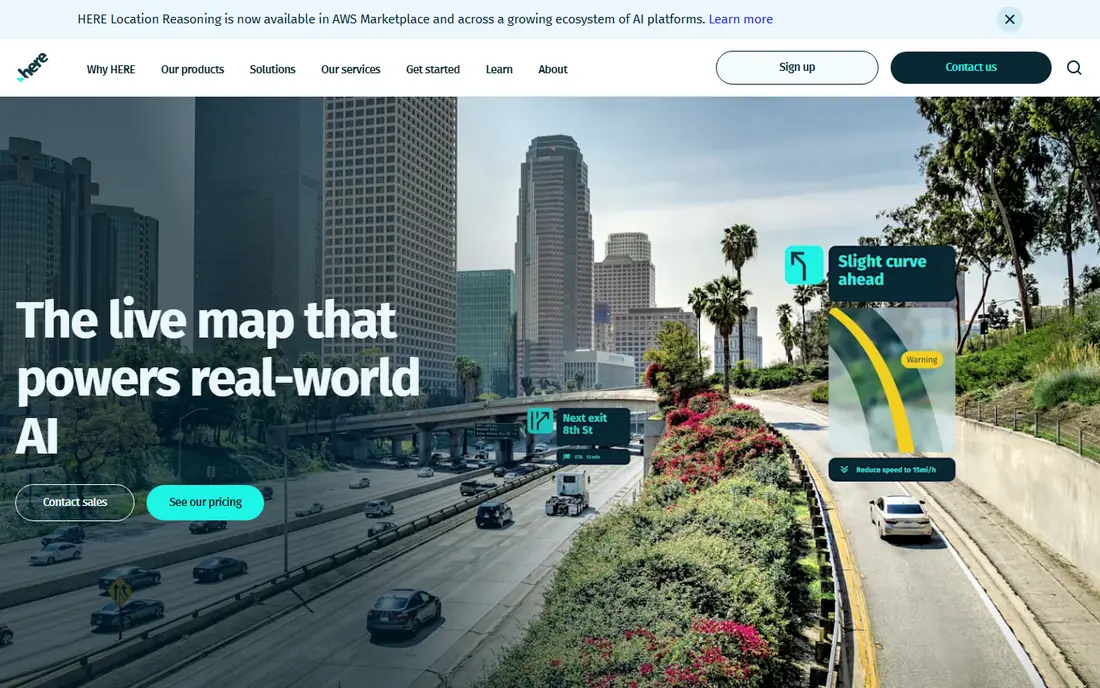
HERE is built with logistics and automotive maps in mind. For routing, fleet tracking, and automotive location work, HERE is a solid specialist choice. Vehicle makers and logistics businesses are core users.
More specifically, HERE serves logistics, fleet, and automotive use, where routing accuracy, traffic data, and location services matter more than a stylish consumer map. Its APIs handle geocoding, routing, traffic, and fleet tracking, with global coverage and enterprise support. More specifically, map styling is less brand-focused than Mapbox. Check the vendor site for HERE pricing; none is listed in this comparison. HERE offers a free plan.
Watch-outs: Map styling is less brand-led.
- Solid routing and fleet APIs
- Global map coverage
- Developer experience is more enterprise than startup
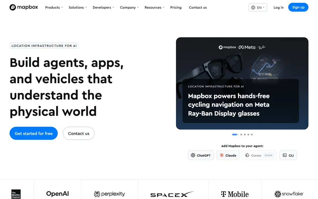
Mapbox serves custom interactive maps. The free level handles 50,000 map loads a month, plus ample geocoding and directions allowances.
So most side projects and early products pay nothing. From a buyer's view, the limits are places data and search: Mapbox has no built-in business database, so a nearby search needs a separate source, and the Search Box API free level is small. What you pay to start with Mapbox: Free tier. Mapbox has a free plan.
Where it falls short: Search free level is small.
- Highly configurable map styles
- Solid mobile and web SDKs
- Usage billing can rise at scale
Google Maps Platform is built with familiar maps and places in mind. Beyond that, pricing is pay as you go, with a $200 monthly credit that handles many small projects.
Downsides: Usage billing can rise rapidly.
Styling is less adaptable than Mapbox, so brands that require a completely custom look may prefer Mapbox and add a places source. Bigger products should model usage early, since map loads, places calls, and routing calls add up separately. On cost, Google Maps Platform starts like this: Pay as you go. Free access exists with Google Maps Platform.
- Solid Places data
- Familiar maps users trust
- Styling is less adaptable than Mapbox
MapTiler serves budget-friendly basemaps. MapTiler provides developer-friendly basemaps at a lower price point than bigger systems. From a buyer's view, vector tiles load quick, styles can be customized, and self-hosting choices help teams that want to control map data and costs.
In daily use, MapTiler fits teams that require good-looking basemaps and routing basics at a predictable cost, without paying for places data they do not use. The ecosystem and plugin range are also smaller than Mapbox. This comparison lists no price for MapTiler; ask the vendor. MapTiler offers a free plan.
Watch-outs: Places data is thinner than Google.
- Self-hosting choices
- Quick vector tiles
- Support scale is smaller
OpenStreetMap works best for free community map data. It powers plenty of other tools, including MapTiler and Geoapify, and it hands teams map data without a vendor contract. Also, OpenStreetMap on its own is data, not a hosted service.
Watch-outs: Using it in a product needs a tile or API provider.
From a buyer's view, a product still needs a tile server, a geocoding API, or a provider that serves the data, and data quality varies by region. Coverage is capable in plenty of cities, and contributors update roads, paths, and places continuously. For teams that want control, openness, and no usage bill for the data itself, OpenStreetMap is the foundation to build on. The starting price for OpenStreetMap: Free. OpenStreetMap has a free plan.
- No vendor lock-in
- Global community coverage
- Data quality varies by area
For Geocoding and map APIs, Geoapify is a natural candidate. It fits developers who require one or two location features, for example converting addresses to coordinates or finding nearby places, without adopting a large system.
Where Geoapify stands out: routing APIs.
Drawbacks to consider: Fewer advanced analysis tools. What you pay to start with Geoapify: Free tier. Geoapify offers a free plan.
- Straightforward pricing
- Clear geocoding, places
- Smaller system than Mapbox or Google
For enterprise GIS analysis, Esri ArcGIS is a natural candidate. Pricing is quoted for enterprise use, and the ramp-up time is steeper than for a developer map API. For everyday use, a free trial and viewer choices help teams test it, but a full rollout needs training and governance.
More specifically, the cost and complexity reflect that depth. Organizations can publish maps and apps, control access, and build workflows around location data. Esri ArcGIS shows no starting price here, so confirm the cost on the vendor site. You can start on Esri ArcGIS without paying.
Limits to weigh: Ramp-up time is steep.
- Deep spatial analysis tools
- Enterprise sharing and governance
- Enterprise pricing is quoted
What to look for in geo tools
Start with the question your product must answer. In practice, a branded product map needs styling and SDKs, so Mapbox or MapTiler may fit. From a buyer's view, check data licensing and terms for your use case.
From a buyer's view, OpenStreetMap data carries an open license with attribution rules, whereas commercial systems restrict caching, display, and use in competing products.
How these tools were picked
For each of the 8 tools we noted price, free plan or trial, fit for geo tools and the main limit, using vendor pages and documentation. Figures are shown as the vendors publish them. Billing terms, seat minimums and add-ons can change the real cost. Tools are placed by general fit for geo tools, with price clarity and free access as tie-breakers. A different team can reasonably rank them differently.
Questions to settle before buying
- Ask HERE, MapTiler and Esri ArcGIS for a written quote, since no starting price is shown.
- Check what the free option really includes: QGIS, HERE, Mapbox and others offer a free plan, and usage caps differ.
- Read the limits listed for QGIS first: desktop only, no hosted cloud system.
- Find out whether the entry plan of Mapbox covers your must-haves or only a trimmed-down version.
- Ask whether HERE integrates with your current software, and whether that comes standard or as an add-on.
Frequently asked questions
Is QGIS the right pick for everyone comparing geo tools?
No single tool suits every team. QGIS comes first because it fits free desktop GIS, while HERE suits logistics and automotive maps and Mapbox suits custom interactive maps. Match the tool to your own size, budget and workflow before deciding.
Is QGIS really free?
You pay only for your own time, training, or optional premium support. Hosting maps online still needs a separate service or server, which may carry its own cost.
How are the tools for geo tools ordered?
QGIS sits first and Esri ArcGIS last because the order follows typical fit for geo tools, then price clarity and free access. It is a judgement call, so read each profile for fit and limits.
Can I try these options before paying?
Often, yes. QGIS, HERE, Mapbox and others have a free plan. Use your own data and a real task during the test, and check what the free tier or trial limits before you rely on it.
Do these tools publish their prices?
Not all of them. HERE, MapTiler and Esri ArcGIS publish no starting price, so expect a quote request for those. The rest, QGIS included, show a starting price, though seats and billing terms still change the final cost.
Sources
See where you really rank - block by block
ProMapRanker scans Google Maps across a grid of your service area. Simple monthly plans from $19, white-label on every plan.
Start freeKeep reading
 zoho inventory alternatives
6 Alternatives to Zoho Inventory, Compared on Price and Fit
Zoho Inventory alternatives: 6 tools compared on price, free plans and fit. Katana leads the list for manufacturers. Fit and flaws are laid out for each entry.
Read → zoho crm alternatives
Best Zoho CRM Alternatives (2026)
Need Zoho CRM alternatives? We compare 7 tools on cost, free access and who each suits. Every pick gets a straight assessment. Built for quick decisions.
Read → zelle alternatives
Best Zelle Alternatives in 2026
Compare the best Zelle alternatives for sending money to friends, paying sellers and moving funds abroad, with honest notes on fees, speed and safety in 2026.
Read →