 ProMapRanker
Best Boat Navigation App in 2026

Key takeaways
- Navionics Boating is the best all-round pick for most boaters, with wide chart coverage and Garmin hardware links.
- Savvy Navvy suits sailors and passage makers who want weather routing and tide-aware planning in one app.
- Aqua Map and C-MAP offer strong value for US coastal boaters who want detailed charts without a high subscription.
- Always carry a backup, such as paper charts or a second device, and check chart coverage for your exact waters before you pay.
Quick comparison
| Pick | Great for | Pricing starts at | Free tier | |
|---|---|---|---|---|
 Navionics Boating | All-round charting | $49.99 per year | Free trial | Visit |
 Savvy Navvy | Sailing and passage routing | See website | Yes | Visit |
 Aqua Map | US coastal detail | See website | Yes | Visit |
 Wavve Boating | Beginner-friendly boating | $69.99 per year | Free trial | Visit |
 Argo Navigation | Budget boating | Free | Yes | Visit |
 iNavX | Advanced customization | See website | No | Visit |
 C-MAP | Classic charts at low cost | See website | Yes | Visit |
 OpenCPN | Free desktop and mobile charts | Free | Yes | Visit |
The best boat navigation apps
A boat navigation app must do more than show a map. It needs accurate marine charts, GPS position, route planning, and offline access when cell service drops. We compared chart coverage, routing, weather and tide tools, and price for US boaters.
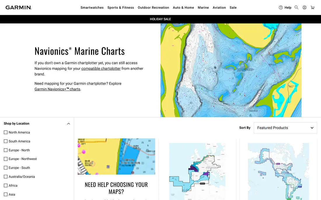
Navionics Boating, owned by Garmin, is our pick for most boaters because its charts cover lakes, coastal waters, and offshore areas in a single familiar app. You can plan a route, check tides and weather, and track your GPS position, with chart updates included in the subscription period.
US and Canada coverage starts at $49.99 per year in app store listings, with a trial on download. It also pairs with Garmin plotters, which matters if you later move from a phone to a helm display. Check that your cruising region is included before you subscribe.
- Wide chart coverage
- SonarChart community depth data
- Route planning and weather overlays
- Regional subscriptions add up for global cruising
- Advanced features need paid tier
- Interface can feel dense

Savvy Navvy is built for sailors and cruisers who plan passages, not just day trips. Its routing considers weather, tides, and currents to suggest departure times and courses, which helps when timing an inlet or a longer coastal leg. The app also brings charts, weather, and marina data into one planning view.
Pricing varies by region and plan, with app store items listed from about $84 to $169 in recent summaries, so confirm the current tier for your waters. Weekend lake boaters may not use enough of its routing to justify the cost, but passage makers often will.
- Smart weather routing
- Tide and current planning
- Global chart coverage on paid tier
- Higher price than rivals
- Free tier is limited
- Best value only for longer passages
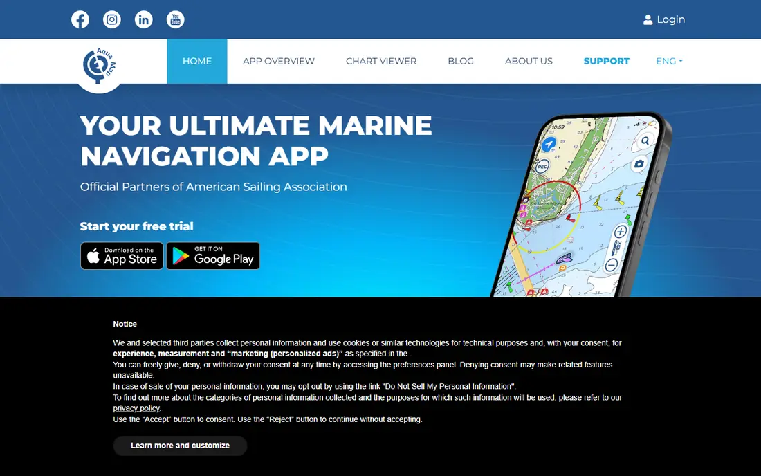
Aqua Map suits US coastal boaters who want depth detail and flexibility. You buy chart regions for the areas you actually cruise, and the app supports offline use, track recording, and anchor alarms. Paid tiers add AIS, weather, and tide tools that serious cruisers rely on.
The modular pricing keeps costs down if you stay in one region, with South Florida coverage plus tools often running $30 to $50 per year in comparisons. If you cruise widely, add up region costs before comparing it with a flat-rate rival.
- Detailed US charts and US Army Corps data
- Offline charts
- Instrument and AIS integration on paid tiers
- Chart regions are bought separately
- Pricing depends on areas chosen
- Learning curve for advanced tools
Wavve Boating is the easiest app here for a new boater to trust. Enter your draft, and the app shades water too shallow for your boat, adjusting for tides where supported. That single feature helps beginners avoid groundings in shallow coastal and lake waters.
It costs $69.99 per year, or $11.99 per month, with a 14-day trial. The price is higher than budget options, but the clarity of its depth shading and simple route planning make it a strong first navigation app.
- Automatic draft-aware depth shading
- Simple interface
- Offline charts and community features
- Higher annual price than Argo or C-MAP
- US focus
- Fewer advanced sailing tools
Argo Navigation is the best free starting point for North American boaters. The free tier covers basic navigation and community features, such as shared routes and local knowledge, which help newcomers learn an area. Premium, listed at $39.99 per year, adds offline charts and more tools.
It does not match Savvy Navvy for passage routing or Navionics for global coverage. For lake and coastal day trips on a budget, Argo gives you a usable GPS chart app without an upfront subscription.
- Free tier with charts and community features
- Simple navigation
- Premium adds offline and more tools
- Draft-aware shading is manual and Premium only
- Coverage is North America focused
- Fewer routing tools
iNavX appeals to experienced boaters who want to choose their chart source and tune the display. It supports multiple chart providers, instrument displays, and route tools, which makes it a flexible companion to a helm plotter or a tablet at the nav station.
Pricing varies because the app and chart subscriptions are separate, with chart regions starting around $9.99 in comparisons. Beginners may find the setup work heavy, but advanced users value the control it offers over a fixed chart bundle.
- Highly customizable charts and instruments
- Supports many chart sources
- Strong for experienced navigators
- Chart subscriptions are separate
- Interface is technical
- No simple free tier for full use
C-MAP offers a traditional charting experience at a lower price than most rivals, with Premium listed around $14.99 to $29.99 per year in recent comparisons. Its charts are clear and familiar, and offline use covers areas where cell service is weak.
It lacks the draft-aware shading of Wavve and the weather routing of Savvy Navvy, so it suits boaters who already know their waters and want reliable charts without extra automation. For straightforward coastal cruising, that simplicity is enough.
- Low-cost classic charts
- Offline use
- Simple, familiar chart style
- Fewer smart routing features
- Premium pricing varies
- Less community data than Navionics
OpenCPN is the free, open source option for boaters comfortable with setup work. On desktop it costs nothing, supports a wide range of chart formats, and gains weather, AIS, and routing features through plugins. The Android app is a small one-time purchase.
It is not a polished consumer app, and chart sourcing takes more effort than buying a subscription bundle. For technically minded boaters, or as a backup system on a laptop, OpenCPN is a powerful free choice.
- Free on desktop
- Supports many chart formats
- Plugins for weather, AIS, and routing
- Technical setup
- Android app is a paid download
- Interface is less polished
How we picked these
We compared official product pages, app store listings, and boating comparisons for navigation apps that are live in October 2026 and offer marine charts with GPS positioning. We kept apps with real chart coverage for US waters, not road maps or fishing-only tools, and we noted where pricing depends on chart regions. Safety note: no app replaces seamanship, local knowledge, paper charts, or checking weather and tides before departure.
Choosing the best app for boating
Start with your waters and boat. Lake and shallow coastal boaters should weight draft-aware shading and local depth detail, which favors Wavve or Aqua Map. Sailors planning passages should weight weather routing, which favors Savvy Navvy. Most other boaters will be well served by Navionics.
Next, check chart coverage and offline use for your exact cruising area. Download charts before departure, test GPS position on a familiar route, and confirm that tides and weather data cover your region. A cheap app with the wrong charts is worse than a pricier app with the right ones.
Finally, plan a backup. Carry paper charts for your area, a second device or a handheld GPS, and a charged phone battery pack. Use the app as your primary tool, but never as your only tool, especially offshore or in unfamiliar waters.
Frequently asked questions
What is the best boat navigation app?
Navionics Boating is the best all-round boat navigation app for most boaters, with wide coverage, route planning, and Garmin links. Savvy Navvy is better for sailing passages, and Wavve Boating is easier for beginners in shallow water.
What is the best app for boat navigation on a budget?
Argo Navigation offers the best free starting point for North American boaters, with Premium at $39.99 per year for more tools. C-MAP is also low cost, and OpenCPN is free on desktop for technically minded boaters.
What is the best free boat navigation app?
Argo Navigation and OpenCPN are the strongest free options, with Argo simpler on mobile and OpenCPN more powerful on desktop. Both still need care with chart coverage, since free does not always mean charts for your exact area.
What is the best free nautical chart app?
For free nautical charts, OpenCPN on desktop with free chart sources, and Argo Navigation on mobile, are the best starting points. Check chart dates and coverage for your waters, and download offline charts before you leave shore.
What is the best GPS app for boating?
Navionics Boating and Aqua Map are the strongest GPS apps for boating, since both combine GPS position with marine charts, routes, and offline use. A phone GPS works without cell service for position, but you still need downloaded charts to see the water.
Do boat navigation apps work offline?
Yes, most paid apps here support offline charts if you download them before departure. Always download your cruising area in advance, test it with cell data off, and carry a backup chart or device.
Sources
See where you really rank - block by block
ProMapRanker scans Google Maps across a grid of your service area. Simple monthly plans from $19, white-label on every plan.
Start freeKeep reading
 zscaler alternatives
Best Zscaler Alternatives in 2026
Looking for zscaler alternatives? We compare 9 SASE and zero trust platforms on architecture, data protection, pricing, and fit for your network and team.
Read → zapier alternatives free
Best Zapier Alternatives Free in 2026
Nine automation tools for zapier alternatives free in 2026, all with genuinely free tiers, plus free plan limits, starting prices and upgrade paths explained.
Read → which platform is best for online reputation
Which Platform Is Best for Online Reputation in 2026
Wondering which platform is best for online reputation? We compare 8 review, listing, and response tools for small and multi-location businesses and agencies.
Read →