 ProMapRanker
Alternatives to Google Maps in 2026

Key takeaways
- Waze is best for live traffic and driver reports, while Apple Maps is best for iPhone and CarPlay users.
- HERE WeGo, OsmAnd, and Organic Maps are the strongest offline choices, with different strengths for roads and trails.
- Magic Earth and Sygic suit drivers who want a polished driving app without a Google account.
- No single app matches Google Maps on every front, so a main app plus an offline backup works best.
Quick comparison
| Pick | Great for | Pricing starts at | Free tier | |
|---|---|---|---|---|
 Apple Maps | Built in navigation for Apple devices | Free | Yes | Visit |
 Waze | Live traffic and driver alerts | Free | Yes | Visit |
 MapQuest | Simple directions and route planning | Free | Yes | Visit |
 HERE WeGo | Offline maps and transit for travel | Free | Yes | Visit |
 OsmAnd | Detailed offline maps and outdoor routes | Free | Yes | Visit |
 Organic Maps | Private offline maps with no tracking | Free | Yes | Visit |
 Sygic | Polished offline driving navigation | Free | Yes | Visit |
 Magic Earth | Privacy focused driving and offline maps | Free | Yes | Visit |
 MAPS.ME | Quick offline city maps for travel | Free | Yes | Visit |
The best alternatives to Google Maps
We compared navigation apps that can replace Google Maps for everyday driving, public transit, walking, and offline travel. The list covers live traffic, offline maps, privacy focused options, and simple route planning, so you can pick one main app and one offline backup for trips.
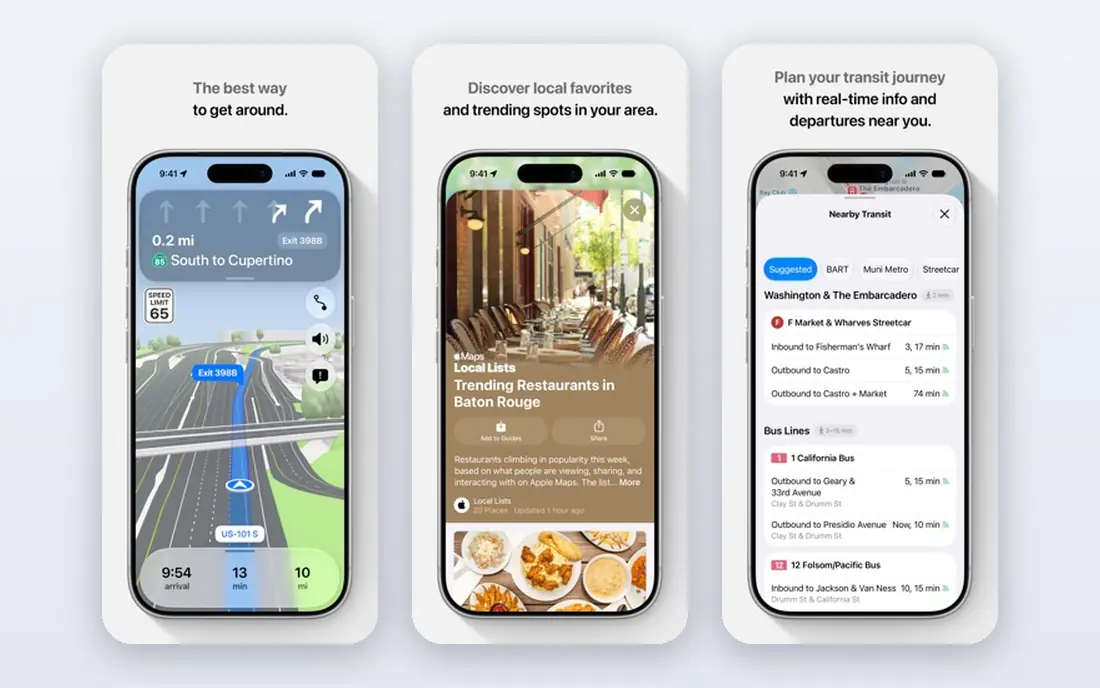
Apple Maps is already on Apple devices, with driving, transit, walking, and cycling directions and a clean CarPlay experience. It integrates with contacts, calendars, and Siri, which makes everyday navigation feel low effort for iPhone users. Place coverage and transit data vary by city, so check your daily routes and your transit lines before you drop a second app.
For day to day use, the fit comes down to how you watch, listen, or work with the tool, and how much setup you are willing to do before the first session. Apple Maps suits built in navigation for Apple devices, and it is worth checking device support and file or account needs on its official pages before you commit.
The honest catch is usually the same across this category: the free tier covers the basics, and the paid tier adds convenience, extra devices, or deeper controls. With Apple Maps, weigh that trade against your budget and your patience for setup.
- Built into iPhone, iPad, and Mac
- CarPlay support
- Transit and walking directions
- Apple only
- Business and place data varies by region
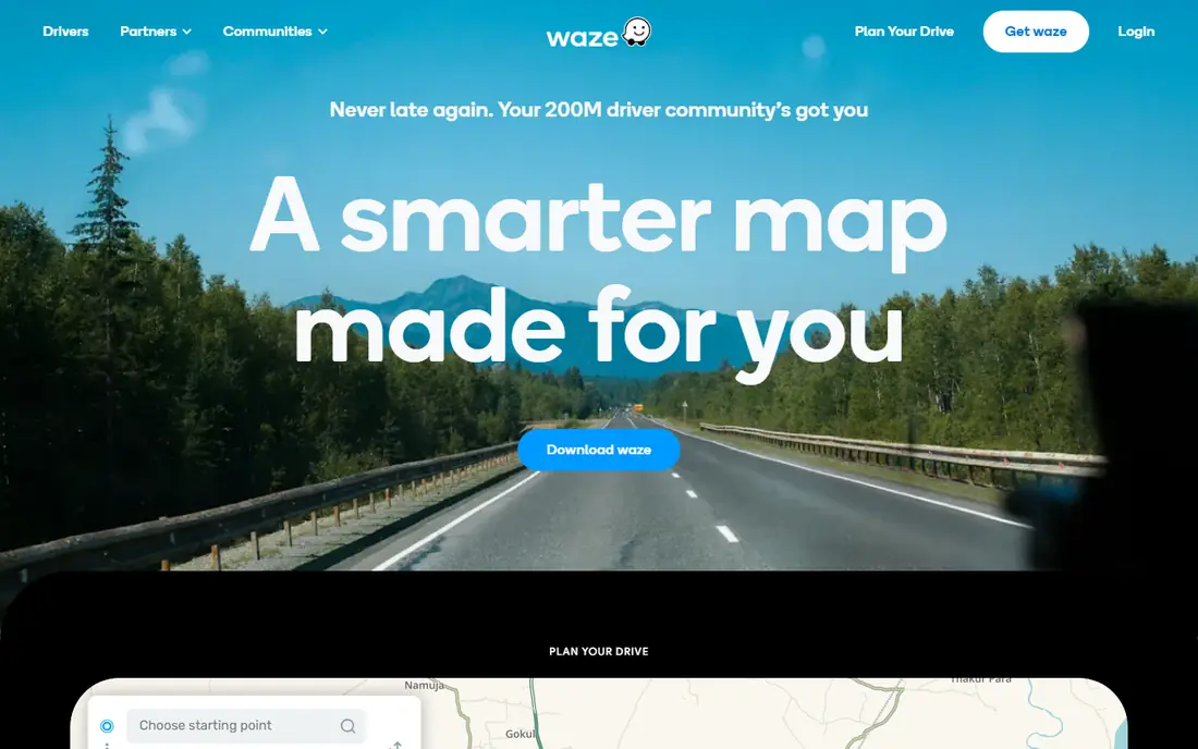
Waze uses reports from drivers to warn about traffic, hazards, police, and roadwork in real time, and it reroutes around jams during a commute. It is the strongest pick for city driving where live conditions change fast. It is not a good offline backup, since it needs a connection for live data, so pair it with an offline app for rural trips.
The practical question is not only what Waze can do, but how it behaves on the devices you already own. It is built for live traffic and driver alerts, so test it on your main screen or phone first, and check whether the parts you need sit in the free tier or in a paid plan.
Before you settle, compare Waze with one or two others on this list on the same task, using the same files, route, or event. Pick the one that stays out of your way on a normal day.
- Real time traffic and hazard reports from drivers
- Police and roadwork alerts
- CarPlay and Android Auto
- Offline maps are limited
- Route caching is not a full offline mode
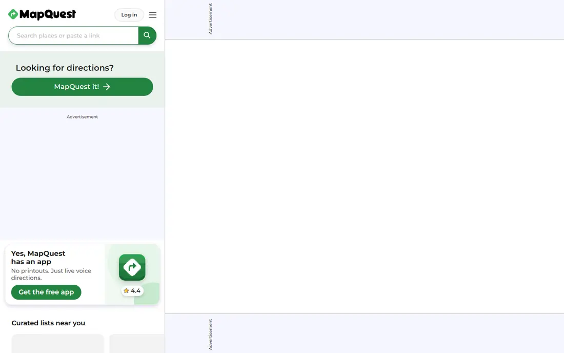
MapQuest remains a simple, free option for directions and multi stop route planning on web and mobile. It suits drivers who want a quick route without signing into a large ecosystem, and it works well for planning a day of stops in order. It does not match the offline depth of OsmAnd or Organic Maps, so keep a downloaded map for areas with weak signal.
We would start by matching MapQuest to one clear job rather than trying to use every feature at once. As a choice for simple directions and route planning, it works best when that job is the one you repeat most often.
Our view is simple: choose MapQuest when its best fit matches your main use, and skip it when you need a different strength, such as lower cost, simpler setup, or wider device support.
- Free web and mobile directions
- Multi stop route planning
- Live traffic on main routes
- App features are simpler than larger rivals
- Offline support is limited
HERE WeGo offers downloadable maps for whole countries, plus driving, transit, walking, and cycling directions in one free app. It has long roots in car navigation, which shows in its road coverage and offline reliability. It is a strong travel backup and, for many drivers, a capable main app, especially where you need maps that work without signal.
What matters most here is the balance between control and effort. HERE WeGo gives you a clear route for offline maps and transit for travel, but that route may ask for more setup than a ready made service.
A final check helps here. Confirm that HERE WeGo still supports your device and your region, and that the price shown on the vendor site matches what you expect to pay.
- Downloadable offline maps
- Driving, transit, walking, and cycling modes
- Broad country coverage
- Live traffic and place depth vary by region
- Interface is functional rather than flashy
OsmAnd is built on OpenStreetMap data and offers detailed offline maps with profiles for driving, cycling, walking, and hiking. It includes contour lines, trail details, and route planning tools that suit outdoor trips far better than a general city app. The interface takes a little learning, but for travelers and hikers who need maps without signal, it is one of the most capable free options.
For day to day use, the fit comes down to how you watch, listen, or work with the tool, and how much setup you are willing to do before the first session. OsmAnd suits detailed offline maps and outdoor routes, and it is worth checking device support and file or account needs on its official pages before you commit.
The honest catch is usually the same across this category: the free tier covers the basics, and the paid tier adds convenience, extra devices, or deeper controls. With OsmAnd, weigh that trade against your budget and your patience for setup.
- Deep offline maps from OpenStreetMap
- Hiking, cycling, and driving profiles
- Contour and trail data
- Paid tiers add features
- Interface takes time to learn
Organic Maps is a free, open source app that runs fully offline, with no ads, tracking, or account required. It offers driving, cycling, and walking navigation, plus hiking features such as trails and elevation profiles, all from OpenStreetMap data. It has no live traffic, so it suits privacy minded travelers and outdoor users who value offline reliability over real time jams.
The practical question is not only what Organic Maps can do, but how it behaves on the devices you already own. It is built for private offline maps with no tracking, so test it on your main screen or phone first, and check whether the parts you need sit in the free tier or in a paid plan.
Before you settle, compare Organic Maps with one or two others on this list on the same task, using the same files, route, or event. Pick the one that stays out of your way on a normal day.
- Fully offline use
- No ads, tracking, or account
- Hiking and cycling navigation
- No live traffic
- Place and transit data depend on OpenStreetMap
Sygic is a polished driving app with offline maps, lane guidance, speed limit warnings, and route planning for cars and motorbikes. The free download covers basic navigation, while Premium adds live traffic, speed camera alerts, and car display support. It suits drivers who want a dedicated driving interface and are willing to pay for traffic and display features.
We would start by matching Sygic to one clear job rather than trying to use every feature at once. As a choice for polished offline driving navigation, it works best when that job is the one you repeat most often.
Our view is simple: choose Sygic when its best fit matches your main use, and skip it when you need a different strength, such as lower cost, simpler setup, or wider device support.
- Offline maps
- Lane guidance and speed alerts
- Android Auto and CarPlay in paid tiers
- Live traffic and advanced features need Premium
- Free tier is basic
Magic Earth is a privacy focused navigation app built on OpenStreetMap, with offline maps, driving directions, and a clean interface. Basic navigation remains free, while a paid tier adds traffic aware routing, CarPlay, and other advanced features. It suits drivers who want a Google Maps style driving app without creating a profile tied to their routes.
What matters most here is the balance between control and effort. Magic Earth gives you a clear route for privacy focused driving and offline maps, but that route may ask for more setup than a ready made service.
A final check helps here. Confirm that Magic Earth still supports your device and your region, and that the price shown on the vendor site matches what you expect to pay.
- OpenStreetMap maps
- Offline navigation
- No profile based tracking positioning
- Traffic and CarPlay features sit in a paid tier
- Map detail varies by region
MAPS.ME offers downloadable offline maps for cities and regions, with walking and driving routes, bookmarks, and travel guides. It is easy to use for a city trip, since you can download a whole area on Wi-Fi and then navigate without signal. Check the current app version and features before a trip, since the app has changed hands and its feature set has shifted over time.
For day to day use, the fit comes down to how you watch, listen, or work with the tool, and how much setup you are willing to do before the first session. MAPS.ME suits quick offline city maps for travel, and it is worth checking device support and file or account needs on its official pages before you commit.
The honest catch is usually the same across this category: the free tier covers the basics, and the paid tier adds convenience, extra devices, or deeper controls. With MAPS.ME, weigh that trade against your budget and your patience for setup.
- Offline maps for cities and regions
- Walking and driving routes
- Bookmarks and guides
- Live traffic is limited
- App ownership and features have changed over time
How we picked these
We compared official app pages, store listings, and help pages for each app, and we kept only navigation apps that are live in October 2026 and that truly replace Google Maps for driving, transit, or offline travel. We checked whether maps can be downloaded, whether live traffic is included, and whether a feature sits in a free tier or a paid tier. Where a paid price was not published in a simple form, we wrote See website rather than guessing.
Choosing the right Google Maps alternative
Start with your main transport. Commuters should try Waze for traffic or Apple Maps for CarPlay, travelers should try HERE WeGo or Organic Maps for offline maps, and hikers should try OsmAnd for trails. Your main transport decides which strength matters most, and it saves you from picking an app that is strong in the wrong area.
Next, test on your real routes. Download maps on Wi-Fi, try a route in airplane mode, and check whether transit, walking, or cycling directions work in your city. Also check CarPlay or Android Auto support if you drive with a car screen, since that support varies by app and by paid tier.
Finally, keep two apps ready. Use one main app for daily driving or transit, and keep one offline app with downloaded maps for trips, rural roads, and signal gaps. Update both on Wi-Fi the night before a trip, and save your hotel and airport routes in each app so one failure does not strand you.
Frequently asked questions
What are the best alternatives to Google Maps?
Apple Maps, Waze, HERE WeGo, OsmAnd, and Organic Maps are the strongest general alternatives. Waze leads for live traffic, while HERE WeGo, OsmAnd, and Organic Maps lead for offline use.
What is the best Google Maps alternative for offline maps?
OsmAnd offers the deepest offline detail for roads and trails, while HERE WeGo and Organic Maps are simpler offline choices for driving and travel. Download maps on Wi-Fi before you leave.
Is there a free alternative to Google Maps?
Yes, every app on this list is free to download, with paid tiers for traffic, CarPlay, or advanced features in some cases. Check the store listing for in app purchases before you rely on a paid feature.
Which alternative is best for privacy?
Organic Maps and Magic Earth position themselves around privacy, with Organic Maps offering no ads, tracking, or account. Both use OpenStreetMap data, so map detail varies by region.
Can I use Waze offline?
Waze can cache a route for a short time, but it is not a full offline map app. For offline driving, pair Waze with HERE WeGo, OsmAnd, or Organic Maps and download maps in advance.
Sources
See where you really rank - block by block
ProMapRanker scans Google Maps across a grid of your service area. Simple monthly plans from $19, white-label on every plan.
Start freeKeep reading
 zoho inventory alternatives
6 Alternatives to Zoho Inventory, Compared on Price and Fit
Zoho Inventory alternatives: 6 tools compared on price, free plans and fit. Katana leads the list for manufacturers. Fit and flaws are laid out for each entry.
Read → zoho crm alternatives
Best Zoho CRM Alternatives (2026)
Need Zoho CRM alternatives? We compare 7 tools on cost, free access and who each suits. Every pick gets a straight assessment. Built for quick decisions.
Read → zelle alternatives
Best Zelle Alternatives in 2026
Compare the best Zelle alternatives for sending money to friends, paying sellers and moving funds abroad, with honest notes on fees, speed and safety in 2026.
Read →